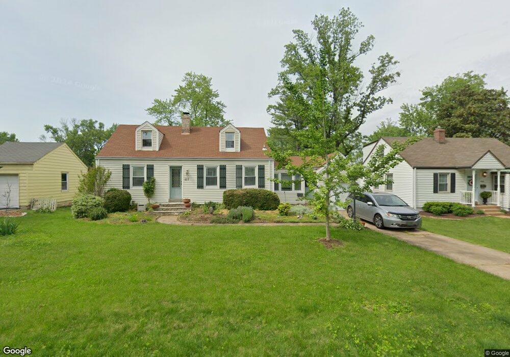
427 Par Ln Saint Louis, MO 63122
Estimated Value: $416,000 - $483,194
2
Beds
2
Baths
1,758
Sq Ft
$261/Sq Ft
Est. Value
About This Home
This home is located at 427 Par Ln, Saint Louis, MO 63122 and is currently estimated at $458,049, approximately $260 per square foot. 427 Par Ln is a home located in St. Louis County with nearby schools including F.P. Tillman Elementary School, Nipher Middle School, and Kirkwood Senior High School.
Ownership History
Date
Name
Owned For
Owner Type
Purchase Details
Closed on
Jun 15, 2001
Sold by
Robert Kunz Harold and Robert Marla G
Bought by
Kunz Harold and Kunz Marla
Current Estimated Value
Home Financials for this Owner
Home Financials are based on the most recent Mortgage that was taken out on this home.
Original Mortgage
$152,000
Interest Rate
7.08%
Purchase Details
Closed on
Jul 31, 1997
Sold by
Robert Kunz Harold and Robert Marla G
Bought by
Kunz Harold Robert and Kunz Marla G
Home Financials for this Owner
Home Financials are based on the most recent Mortgage that was taken out on this home.
Original Mortgage
$123,750
Interest Rate
7.59%
Create a Home Valuation Report for This Property
The Home Valuation Report is an in-depth analysis detailing your home's value as well as a comparison with similar homes in the area
Home Values in the Area
Average Home Value in this Area
Purchase History
| Date | Buyer | Sale Price | Title Company |
|---|---|---|---|
| Kunz Harold | -- | -- | |
| Kunz Harold Robert | -- | First American Title Ins Co |
Source: Public Records
Mortgage History
| Date | Status | Borrower | Loan Amount |
|---|---|---|---|
| Closed | Kunz Harold | $152,000 | |
| Closed | Kunz Harold Robert | $123,750 |
Source: Public Records
Tax History Compared to Growth
Tax History
| Year | Tax Paid | Tax Assessment Tax Assessment Total Assessment is a certain percentage of the fair market value that is determined by local assessors to be the total taxable value of land and additions on the property. | Land | Improvement |
|---|---|---|---|---|
| 2025 | $4,361 | $76,780 | $55,560 | $21,220 |
| 2024 | $4,361 | $69,390 | $39,670 | $29,720 |
| 2023 | $4,293 | $69,390 | $39,670 | $29,720 |
| 2022 | $4,179 | $63,020 | $40,810 | $22,210 |
| 2021 | $4,125 | $63,020 | $40,810 | $22,210 |
| 2020 | $4,037 | $59,300 | $37,680 | $21,620 |
| 2019 | $4,037 | $59,300 | $37,680 | $21,620 |
| 2018 | $4,012 | $52,050 | $28,580 | $23,470 |
| 2017 | $4,007 | $52,050 | $28,580 | $23,470 |
| 2016 | $3,589 | $46,950 | $22,230 | $24,720 |
| 2015 | $3,585 | $46,950 | $22,230 | $24,720 |
| 2014 | $3,586 | $45,940 | $11,250 | $34,690 |
Source: Public Records
Map
Nearby Homes
- 551 Brookhaven Ct
- 125 Swan Ave
- 754 Brownell Ave
- 803 N Kirkwood Rd
- 641 Brookhaven Ct
- 1030 Sylvan Place
- 522 N Kirkwood Rd Unit 2B
- 830 N Clay Ave
- 826 Chelsea Ave
- 102 E Bodley Ave Unit 204
- 832 Fuhrmann Terrace
- 830 Victoria Place
- 807 E Essex Ave
- 858 Chelsea Ave
- 1 Dickson Ct
- 109 E Washington Ave Unit 2S
- 438 N Sappington Rd Unit B
- 216 W Essex Ave
- 664 Hawbrook Ave
- 436 N Sappington Rd Unit C