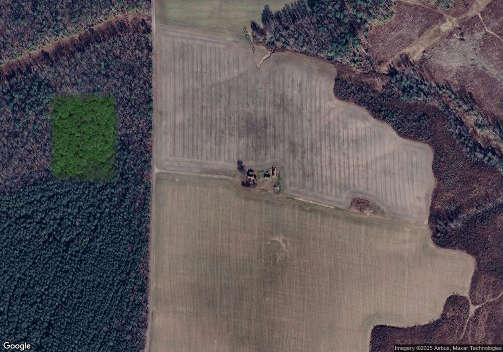
427 Pear Tree Ave Saluda, VA 23149
Estimated Value: $238,000 - $631,650
5
Beds
1
Bath
2,677
Sq Ft
$148/Sq Ft
Est. Value
About This Home
This home is located at 427 Pear Tree Ave, Saluda, VA 23149 and is currently estimated at $395,550, approximately $147 per square foot. 427 Pear Tree Ave is a home located in King and Queen County with nearby schools including Central High School.
Ownership History
Date
Name
Owned For
Owner Type
Purchase Details
Closed on
Apr 16, 2014
Sold by
Dumas Katherine H
Bought by
Bland Robert T
Current Estimated Value
Home Financials for this Owner
Home Financials are based on the most recent Mortgage that was taken out on this home.
Original Mortgage
$400,000
Outstanding Balance
$303,156
Interest Rate
4.26%
Mortgage Type
New Conventional
Estimated Equity
$92,394
Create a Home Valuation Report for This Property
The Home Valuation Report is an in-depth analysis detailing your home's value as well as a comparison with similar homes in the area
Home Values in the Area
Average Home Value in this Area
Purchase History
| Date | Buyer | Sale Price | Title Company |
|---|---|---|---|
| Bland Robert T | $500,000 | Fidelity Nat L Title Ins Co |
Source: Public Records
Mortgage History
| Date | Status | Borrower | Loan Amount |
|---|---|---|---|
| Open | Bland Robert T | $400,000 |
Source: Public Records
Tax History Compared to Growth
Tax History
| Year | Tax Paid | Tax Assessment Tax Assessment Total Assessment is a certain percentage of the fair market value that is determined by local assessors to be the total taxable value of land and additions on the property. | Land | Improvement |
|---|---|---|---|---|
| 2024 | $2,046 | $409,200 | $396,800 | $12,400 |
| 2023 | $1,964 | $409,200 | $396,800 | $12,400 |
| 2022 | $1,916 | $348,300 | $339,100 | $9,200 |
| 2021 | $1,846 | $390,200 | $333,100 | $57,100 |
| 2020 | $2,068 | $390,200 | $333,100 | $57,100 |
| 2019 | $2,068 | $390,200 | $333,100 | $57,100 |
| 2018 | $2,068 | $390,200 | $333,100 | $57,100 |
| 2017 | $2,068 | $390,200 | $333,100 | $57,100 |
| 2016 | $2,071 | $376,500 | $308,600 | $67,900 |
| 2015 | $2,256 | $376,500 | $308,600 | $67,900 |
| 2013 | -- | $422,500 | $308,600 | $113,900 |
Source: Public Records
Map
Nearby Homes
- 14 Goose Creek Dr
- 2480 Lees Neck Farm Rd
- 561 Taylorsville Rd
- 0 Taylorsville Rd Unit 2500798
- 280 Centerville Rd
- 505 Centerville Rd
- 349 Morris Ln
- 321 Morris Ln
- 00 Plainview Dr
- 16.4ac Plainview Dr
- 7.4ac Owl Trap Ln
- 13787 Owl Trap Rd
- 00 Wise Ln
- 45ac Plain View Ln
- 0000 Plain View Ln
- TBD Oaks Ln
- 262 Goulders Creek Rd
- Lot 4 Partridge Landing Rd S
- 04 Partridge Landing Rd S
- 0 Bacons Ln
- 366 Par Cooks Rd
- 761 Pear Tree Ave
- 219 Pear Tree Ave
- 143 Pear Tree Ave
- 117 Pear Tree Ave
- 1711 Lewis B Puller Memorial Hwy
- 2084 Lewis B Puller Memorial Hwy
- 211 Roanes Mill Rd
- 203 Farmville Rd
- 1001 Pear Tree Ave
- 187 Roanes Mill Rd
- 321 Farmville Rd
- 263 Farmville Rd
- 1575 Lewis B Puller Memorial Hwy
- 181 Roanes Mill Rd
- 136 Farmville Rd
- 1539 Lewis B Puller Memorial Hwy
- 543 Tanglewood Trail
- 2288 Lewis B Puller Memorial Hwy
- 583 Tanglewood Trail
