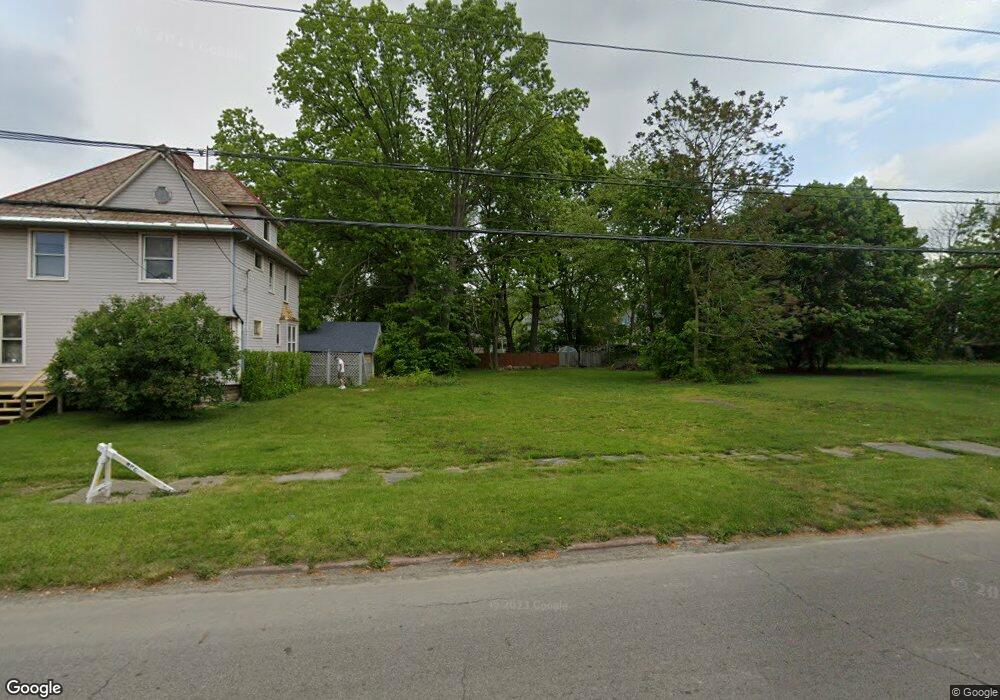
427 Porter St NE Warren, OH 44483
Central City NeighborhoodEstimated Value: $62,000 - $307,000
4
Beds
2
Baths
2,674
Sq Ft
$66/Sq Ft
Est. Value
About This Home
This home is located at 427 Porter St NE, Warren, OH 44483 and is currently estimated at $176,000, approximately $65 per square foot. 427 Porter St NE is a home located in Trumbull County with nearby schools including Warren G. Harding High School, Willard PK-8 School, and Steam Academy of Warren.
Ownership History
Date
Name
Owned For
Owner Type
Purchase Details
Closed on
Mar 31, 2021
Sold by
Trumbull County Land Reutilization Corp
Bought by
Manzo Jeffery V
Current Estimated Value
Purchase Details
Closed on
Mar 11, 2019
Sold by
Meister Michale G and Meister Shirley L
Bought by
Trumbull County Land Reutilization Corp
Purchase Details
Closed on
Dec 19, 1996
Sold by
Thompson Michael A
Bought by
Meister Michael G and Meister Shirley L
Purchase Details
Closed on
Jan 1, 1990
Sold by
Thompson Joyce A
Bought by
Joyce A Thompson
Create a Home Valuation Report for This Property
The Home Valuation Report is an in-depth analysis detailing your home's value as well as a comparison with similar homes in the area
Home Values in the Area
Average Home Value in this Area
Purchase History
| Date | Buyer | Sale Price | Title Company |
|---|---|---|---|
| Manzo Jeffery V | -- | None Available | |
| Trumbull County Land Reutilization Corp | -- | None Available | |
| Meister Michael G | $27,500 | -- | |
| Joyce A Thompson | -- | -- |
Source: Public Records
Mortgage History
| Date | Status | Borrower | Loan Amount |
|---|---|---|---|
| Closed | Meister Michael G | -- |
Source: Public Records
Tax History
| Year | Tax Paid | Tax Assessment Tax Assessment Total Assessment is a certain percentage of the fair market value that is determined by local assessors to be the total taxable value of land and additions on the property. | Land | Improvement |
|---|---|---|---|---|
| 2024 | $19 | $350 | $350 | $0 |
| 2023 | $18 | $350 | $350 | $0 |
| 2022 | $23 | $350 | $350 | $0 |
| 2021 | $572 | $350 | $350 | $0 |
| 2020 | $572 | $8,790 | $1,790 | $7,000 |
| 2019 | $570 | $8,440 | $1,790 | $6,650 |
| 2018 | $568 | $8,440 | $1,790 | $6,650 |
| 2017 | $559 | $8,440 | $1,790 | $6,650 |
| 2016 | $493 | $7,710 | $2,490 | $5,220 |
| 2015 | $490 | $7,710 | $2,490 | $5,220 |
| 2014 | $487 | $7,710 | $2,490 | $5,220 |
| 2013 | $491 | $8,230 | $2,490 | $5,740 |
Source: Public Records
Map
Nearby Homes
- 258 Seneca Ave NE
- 433 Olive Ave NE Unit 435
- 454 Washington St NE
- 632 Mercer Ave NE
- 562 Belmont Ave NE
- 416 Warren Blvd SE
- 204 Atlantic St NE
- 257 Washington St NW
- 1033 Olive Ave NE
- 136 Charles Ave SE
- 1132 Woodland St NE
- 855 Adams Ave NW
- 1214 E Market St
- 1250 Grant St SE
- 1205 Belle St SE
- 518 Summit St NW
- 376 Laird Ave SE
- 752 Laird Ave NE
- 156 Bonnie Brae Ave NE
- 146 Bonnie Brae Ave NE
- 437 Porter St NE
- 413 Porter St NE
- 330 Vine Ave NE
- 407 Porter St NE
- 340 Vine Ave NE
- 422 Scott St NE
- 432 Scott St NE
- 457 Porter St NE
- 457 Porter St NE Unit 459
- 442 Scott St NE
- 412 Scott St NE
- 426 Porter St NE
- 438 Porter St NE
- 416 Porter St NE
- 454 Scott St NE
- 404 Scott St NE
- 446 Porter St NE
- 467 Porter St NE
- 325 Vine Ave NE
- 406 Porter St NE