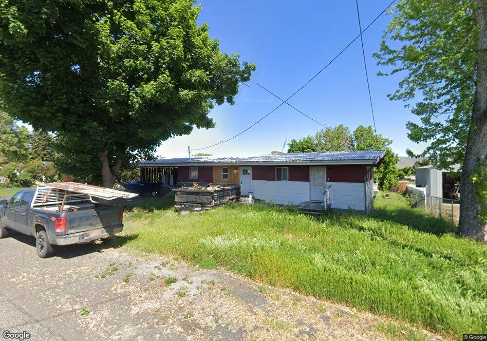
427 Preston Ave Lewiston, ID 83501
Estimated Value: $359,000 - $435,000
6
Beds
3
Baths
2,760
Sq Ft
$145/Sq Ft
Est. Value
About This Home
This home is located at 427 Preston Ave, Lewiston, ID 83501 and is currently estimated at $398,941, approximately $144 per square foot. 427 Preston Ave is a home located in Nez Perce County with nearby schools including McSorley Elementary School, Lewiston High School, and Beacon Christian School.
Ownership History
Date
Name
Owned For
Owner Type
Purchase Details
Closed on
Aug 14, 2020
Sold by
Jones Carolyn E
Bought by
Hoiland Michael A
Current Estimated Value
Home Financials for this Owner
Home Financials are based on the most recent Mortgage that was taken out on this home.
Original Mortgage
$207,100
Outstanding Balance
$109,571
Interest Rate
3%
Mortgage Type
Purchase Money Mortgage
Estimated Equity
$289,370
Purchase Details
Closed on
Jul 15, 2008
Sold by
Jones Ronald F and Jones Mildred E
Bought by
Jones Carolyn E
Create a Home Valuation Report for This Property
The Home Valuation Report is an in-depth analysis detailing your home's value as well as a comparison with similar homes in the area
Home Values in the Area
Average Home Value in this Area
Purchase History
| Date | Buyer | Sale Price | Title Company |
|---|---|---|---|
| Hoiland Michael A | -- | Alliance Title Lewiston Offi | |
| Jones Carolyn E | -- | Alliance Title Lewiston Offi | |
| Jones Ronald F | -- | -- |
Source: Public Records
Mortgage History
| Date | Status | Borrower | Loan Amount |
|---|---|---|---|
| Open | Hoiland Michael A | $207,100 |
Source: Public Records
Tax History Compared to Growth
Tax History
| Year | Tax Paid | Tax Assessment Tax Assessment Total Assessment is a certain percentage of the fair market value that is determined by local assessors to be the total taxable value of land and additions on the property. | Land | Improvement |
|---|---|---|---|---|
| 2025 | $2,728 | $322,689 | $65,500 | $257,189 |
| 2024 | $25 | $307,155 | $62,250 | $244,905 |
| 2023 | $2,269 | $301,317 | $60,500 | $240,817 |
| 2022 | $3,111 | $309,978 | $52,500 | $257,478 |
| 2021 | $2,562 | $255,110 | $46,500 | $208,610 |
| 2020 | $4,122 | $208,585 | $38,750 | $169,835 |
| 2019 | $4,164 | $192,135 | $38,750 | $153,385 |
| 2018 | $4,039 | $184,822 | $36,750 | $148,072 |
| 2017 | $3,792 | $0 | $0 | $0 |
| 2016 | $3,792 | $0 | $0 | $0 |
| 2015 | $3,471 | $0 | $0 | $0 |
| 2014 | $3,305 | $167,098 | $33,750 | $133,348 |
Source: Public Records
Map
Nearby Homes
- 3212 1/2 5th St
- 3211 4th St
- 3126 4th St
- 3228 5th St
- 337 Stewart Dr
- 332 Vista Ave
- 525 Park Ave
- TBD 6th St
- 3115 6th St
- 1605 Vineyard Dr
- 344 Park Dr
- 1533 Vineyard Dr
- 606 Warner Ave Unit A
- 0000 Warner Dr
- 404 Linden Dr
- 631 Preston Ave Unit 49
- 2936 Mayfair Ridge
- 2324 15th St
- 2956 Mayfair Ridge
- 513 Bryden Dr
- 429 Preston Ave
- 423 Preston Ave
- 431 Preston Ave
- 421 Preston Ave
- 3133 4th Street D
- 426 Preston Ave
- 430 Preston Ave
- 424 Preston Ave
- 3131 4th Street D
- 422 Preston Ave
- 432 Preston Ave
- 434 Preston Ave
- 415 Preston Ave
- 3136 4th Street D
- 3129 4th Street D
- 420 Preston Ave
- 428 Preston Ave
- 438 Preston Ave
- 3132 4th Street D
- 3127 4th Street D