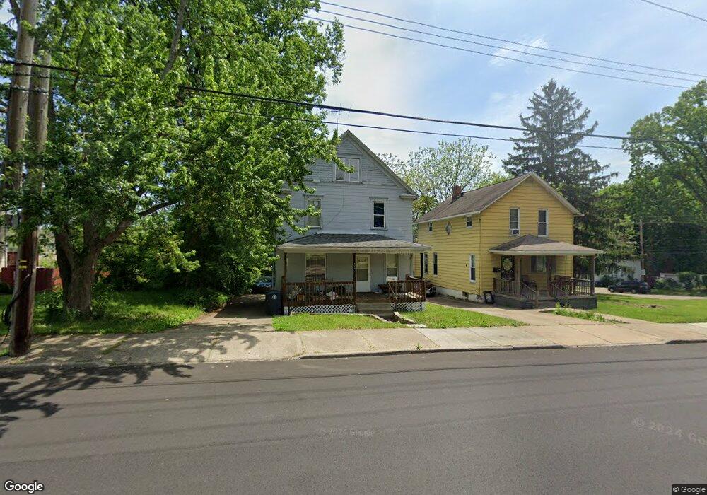
427 Rhodes Ave Akron, OH 44307
Sherbondy Hill NeighborhoodEstimated Value: $88,000 - $160,000
4
Beds
2
Baths
1,820
Sq Ft
$63/Sq Ft
Est. Value
About This Home
This home is located at 427 Rhodes Ave, Akron, OH 44307 and is currently estimated at $114,776, approximately $63 per square foot. 427 Rhodes Ave is a home located in Summit County with nearby schools including Towpath Trail High School, St. Vincent Elementary School, and St Vincent-St Mary High School.
Ownership History
Date
Name
Owned For
Owner Type
Purchase Details
Closed on
May 21, 2010
Sold by
Wilmar Properties Ltd
Bought by
Marshall Robert J and Williams Thomas R
Current Estimated Value
Purchase Details
Closed on
Mar 28, 2007
Sold by
Marshall Robert J and Williams Thomas R
Bought by
Wilmar Properties Ltd
Purchase Details
Closed on
Apr 29, 2000
Sold by
Miller Mable
Bought by
Cole Properties Ltd
Purchase Details
Closed on
Apr 28, 2000
Sold by
Cole Properties Ltd
Bought by
Wilmar Properties Ltd
Create a Home Valuation Report for This Property
The Home Valuation Report is an in-depth analysis detailing your home's value as well as a comparison with similar homes in the area
Home Values in the Area
Average Home Value in this Area
Purchase History
| Date | Buyer | Sale Price | Title Company |
|---|---|---|---|
| Marshall Robert J | -- | None Available | |
| Wilmar Properties Ltd | -- | None Available | |
| Cole Properties Ltd | $25,000 | Tfa | |
| Wilmar Properties Ltd | $29,000 | Tfa |
Source: Public Records
Tax History Compared to Growth
Tax History
| Year | Tax Paid | Tax Assessment Tax Assessment Total Assessment is a certain percentage of the fair market value that is determined by local assessors to be the total taxable value of land and additions on the property. | Land | Improvement |
|---|---|---|---|---|
| 2025 | $880 | $14,917 | $4,207 | $10,710 |
| 2024 | $880 | $14,917 | $4,207 | $10,710 |
| 2023 | $880 | $14,917 | $4,207 | $10,710 |
| 2022 | $682 | $8,775 | $2,475 | $6,300 |
| 2021 | $683 | $8,775 | $2,475 | $6,300 |
| 2020 | $674 | $8,780 | $2,480 | $6,300 |
| 2019 | $1,082 | $12,840 | $3,770 | $9,070 |
| 2018 | $1,070 | $12,840 | $3,770 | $9,070 |
| 2017 | $1,101 | $12,840 | $3,770 | $9,070 |
| 2016 | $1,102 | $13,060 | $3,770 | $9,290 |
| 2015 | $1,101 | $13,060 | $3,770 | $9,290 |
| 2014 | $1,038 | $13,060 | $3,770 | $9,290 |
| 2013 | $1,065 | $13,720 | $3,770 | $9,950 |
Source: Public Records
Map
Nearby Homes
- 423 Rhodes Ave
- 431 Rhodes Ave
- 375 Lillian St
- 371 Lillian St
- 413 Rhodes Ave
- 430 Douglas St
- 434 Douglas St
- 434 Douglas St Unit 2656375-11474
- 434 Douglas St Unit 2525596-11474
- 434 Douglas St Unit 2525595-11474
- 3^^ Lillian St
- 447 Rhodes Ave
- 418 Douglas St
- 438 Rhodes Ave
- 420 Rhodes Ave
- 407 Rhodes Ave
- 428 Rhodes Ave
- 424 Rhodes Ave
- 438 Douglas St
- 432 Rhodes Ave