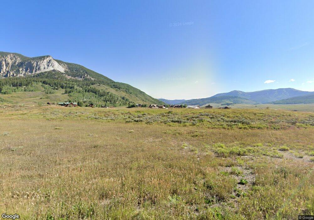
427 S Avion Dr Crested Butte, CO 81224
Estimated Value: $290,290 - $570,000
--
Bed
--
Bath
--
Sq Ft
1.55
Acres
About This Home
This home is located at 427 S Avion Dr, Crested Butte, CO 81224 and is currently estimated at $430,145. 427 S Avion Dr is a home located in Gunnison County with nearby schools including Gunnison Elementary School, Crested Butte Community School, and Gunnison Middle School.
Ownership History
Date
Name
Owned For
Owner Type
Purchase Details
Closed on
Dec 29, 2020
Sold by
Pankey Joseph M
Bought by
Straightline Private Air Llc
Current Estimated Value
Purchase Details
Closed on
Oct 12, 2017
Sold by
Lsc Buckhorn Colorado Llc
Bought by
Pankey Joseph M
Home Financials for this Owner
Home Financials are based on the most recent Mortgage that was taken out on this home.
Original Mortgage
$112,500
Interest Rate
3.82%
Mortgage Type
Commercial
Create a Home Valuation Report for This Property
The Home Valuation Report is an in-depth analysis detailing your home's value as well as a comparison with similar homes in the area
Home Values in the Area
Average Home Value in this Area
Purchase History
| Date | Buyer | Sale Price | Title Company |
|---|---|---|---|
| Straightline Private Air Llc | $225,000 | Land Title Guarantee Company | |
| Pankey Joseph M | $150,000 | Land Title Guarantee Company |
Source: Public Records
Mortgage History
| Date | Status | Borrower | Loan Amount |
|---|---|---|---|
| Previous Owner | Pankey Joseph M | $112,500 |
Source: Public Records
Tax History Compared to Growth
Tax History
| Year | Tax Paid | Tax Assessment Tax Assessment Total Assessment is a certain percentage of the fair market value that is determined by local assessors to be the total taxable value of land and additions on the property. | Land | Improvement |
|---|---|---|---|---|
| 2024 | $7,258 | $116,480 | $116,480 | $0 |
| 2023 | $7,186 | $116,480 | $116,480 | $0 |
| 2022 | $3,258 | $46,640 | $46,640 | $0 |
| 2021 | $2,820 | $46,640 | $46,640 | $0 |
| 2020 | $2,456 | $41,060 | $41,060 | $0 |
| 2019 | $841 | $14,330 | $14,330 | $0 |
| 2018 | $1,022 | $16,690 | $16,690 | $0 |
| 2017 | $1,032 | $16,690 | $16,690 | $0 |
| 2016 | $489 | $8,390 | $8,390 | $0 |
| 2015 | $544 | $8,390 | $8,390 | $0 |
| 2014 | $544 | $8,870 | $8,870 | $0 |
Source: Public Records
Map
Nearby Homes
- 333 S Avion Dr
- 379 S Avion Dr
- 527 S Avion Dr
- 49 White Stallion Cir
- 554 White Stallion Cir
- 441 White Stallion Cir
- 528 White Stallion Cir
- 83 White Stallion Cir
- 255 S Avion Dr
- 77 Coyote Ridge Rd
- 84 Chestnut Ln
- 97 Chestnut Ln
- 204 N Avion Dr
- 14 Buckhorn Way
- 231 S Avion Dr
- 470 White Stallion Cir
- 96 Chestnut Ln
- 214 Elk Valley Rd
- 114 Chestnut Ln
- 56 Bridle Spur Way
- 602 White Stallion Cr
- 578 White Stallion Cir
- 15 Coyote Ridge Rd
- 39 White Stallion Cir
- 467 White Stallion Cir
- 14 Coyote Ridge Rd
- 292 N Avion Dr
- 560 White Stallion Cir
- 58 White Stallion Cr
- 32 Coyote Cir
- 61 White Stallion Cir
- 0 White Stallion Cr Unit 3437
- 0 White Stallion Cr Unit 3744
- 66 White Stallion Cr
- 554 White Stallion Cr
- 43 Coyote Cir
- 0 Coyote Ridge Rd Unit 750915
- 0 Coyote Ridge Rd Unit 740280
- 0 Coyote Ridge Rd Unit 2306
- 0 Coyote Ridge Rd Unit 2773