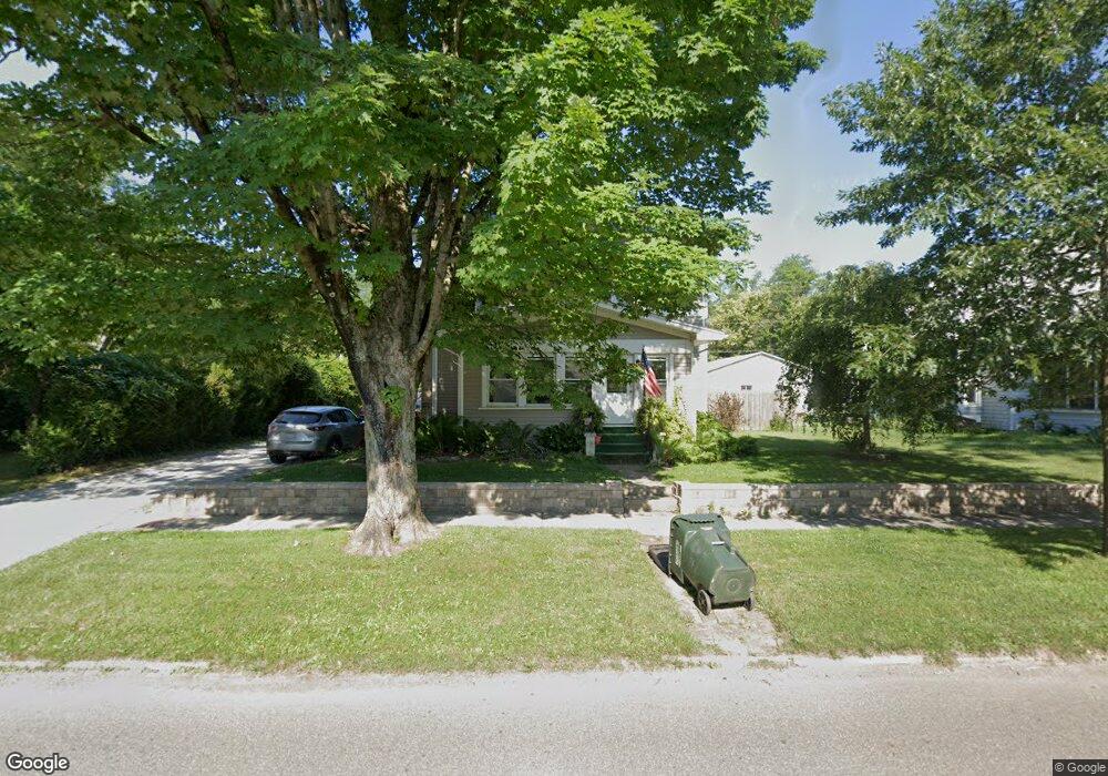
427 S Main St Killbuck, OH 44637
Estimated Value: $176,386 - $205,000
Studio
1
Bath
1,937
Sq Ft
$98/Sq Ft
Est. Value
About This Home
This home is located at 427 S Main St, Killbuck, OH 44637 and is currently estimated at $189,597, approximately $97 per square foot. 427 S Main St is a home located in Holmes County with nearby schools including West Holmes High School.
Ownership History
Date
Name
Owned For
Owner Type
Purchase Details
Closed on
Aug 18, 2004
Bought by
Gallion Brooks S
Current Estimated Value
Purchase Details
Closed on
Jun 2, 2003
Bought by
Hochstetler Gerald G
Purchase Details
Closed on
Feb 26, 2003
Bought by
Bankers Trust Company
Purchase Details
Closed on
Jan 1, 1990
Bought by
Holt Hugh P and Holt Barbara
Create a Home Valuation Report for This Property
The Home Valuation Report is an in-depth analysis detailing your home's value as well as a comparison with similar homes in the area
Purchase History
| Date | Buyer | Sale Price | Title Company |
|---|---|---|---|
| Gallion Brooks S | $66,000 | -- | |
| Hochstetler Gerald G | $35,000 | -- | |
| Bankers Trust Company | $66,300 | -- | |
| Holt Hugh P | -- | -- |
Source: Public Records
Tax History
| Year | Tax Paid | Tax Assessment Tax Assessment Total Assessment is a certain percentage of the fair market value that is determined by local assessors to be the total taxable value of land and additions on the property. | Land | Improvement |
|---|---|---|---|---|
| 2024 | $2,112 | $43,870 | $2,430 | $41,440 |
| 2023 | $1,826 | $43,870 | $2,430 | $41,440 |
| 2022 | $1,887 | $43,870 | $2,430 | $41,440 |
| 2021 | $1,621 | $34,990 | $1,980 | $33,010 |
| 2020 | $1,588 | $34,990 | $1,980 | $33,010 |
| 2019 | $1,552 | $34,990 | $1,980 | $33,010 |
| 2018 | $1,445 | $31,450 | $1,980 | $29,470 |
| 2017 | $1,445 | $31,450 | $1,980 | $29,470 |
| 2016 | $1,337 | $31,450 | $1,980 | $29,470 |
| 2015 | $1,272 | $29,040 | $1,980 | $27,060 |
| 2014 | $1,278 | $29,040 | $1,980 | $27,060 |
| 2013 | $669 | $29,040 | $1,980 | $27,060 |
Source: Public Records
Map
Nearby Homes
- 8800 U S Highway 62
- 10870 County Road 6
- 3605 State Route 83
- 7675 Wild Horn Dr
- 118 Bern Dr
- 32762 Township Road 22
- 8930 Cr 393
- 7499 County Road 19
- 8756 Private Road 343
- 2818 Township Road 29
- 241 Fairway Dr
- 8865 Private Road 343
- 602 Whitetail Crossing
- 164 N Grant St
- 188 W Clinton St
- 910 Fairview Ave
- 0 State Route 520
- 622 Elm St
- 995 Beech Ave
- 108 Brambly Hedge Dr