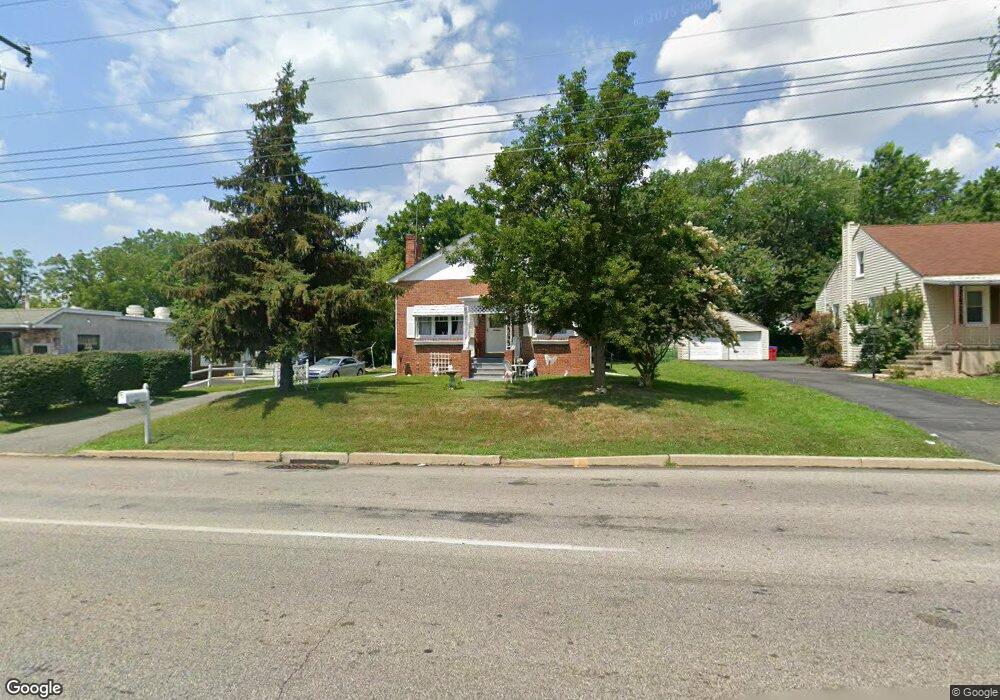
427 S Trooper Rd Norristown, PA 19403
Estimated Value: $420,000 - $460,000
4
Beds
2
Baths
1,786
Sq Ft
$250/Sq Ft
Est. Value
About This Home
This home is located at 427 S Trooper Rd, Norristown, PA 19403 and is currently estimated at $446,043, approximately $249 per square foot. 427 S Trooper Rd is a home located in Montgomery County with nearby schools including Woodland Elementary School, Skyview Upper Elementary School, and Arcola Intermediate School.
Ownership History
Date
Name
Owned For
Owner Type
Purchase Details
Closed on
Dec 27, 2012
Sold by
Jubb Florence F
Bought by
Floemil Trust
Current Estimated Value
Purchase Details
Closed on
Jun 9, 1995
Sold by
Jubb Florence F and Jubb Lee R
Bought by
Lower Providence Township Sewer Authorit
Purchase Details
Closed on
Jan 1, 1948
Bought by
Jubb Lee R and Jubb Florence A
Create a Home Valuation Report for This Property
The Home Valuation Report is an in-depth analysis detailing your home's value as well as a comparison with similar homes in the area
Home Values in the Area
Average Home Value in this Area
Purchase History
| Date | Buyer | Sale Price | Title Company |
|---|---|---|---|
| Floemil Trust | -- | Attorney | |
| Lower Providence Township Sewer Authorit | -- | -- | |
| Jubb Lee R | -- | -- |
Source: Public Records
Tax History Compared to Growth
Tax History
| Year | Tax Paid | Tax Assessment Tax Assessment Total Assessment is a certain percentage of the fair market value that is determined by local assessors to be the total taxable value of land and additions on the property. | Land | Improvement |
|---|---|---|---|---|
| 2025 | $5,444 | $133,470 | $55,060 | $78,410 |
| 2024 | $5,444 | $133,470 | $55,060 | $78,410 |
| 2023 | $5,238 | $133,470 | $55,060 | $78,410 |
| 2022 | $5,094 | $133,470 | $55,060 | $78,410 |
| 2021 | $4,963 | $133,470 | $55,060 | $78,410 |
| 2020 | $4,847 | $133,470 | $55,060 | $78,410 |
| 2019 | $4,802 | $133,470 | $55,060 | $78,410 |
| 2018 | $4,803 | $133,470 | $55,060 | $78,410 |
| 2017 | $4,585 | $133,470 | $55,060 | $78,410 |
| 2016 | $4,534 | $133,470 | $55,060 | $78,410 |
| 2015 | $4,422 | $133,470 | $55,060 | $78,410 |
| 2014 | $4,357 | $133,470 | $55,060 | $78,410 |
Source: Public Records
Map
Nearby Homes
- 2044 Mill Rd
- 0 Roosevelt Blvd
- 300 Norris Hall Ln Unit 300
- 253 Stone Ridge Dr Unit 253
- 404 Truman Ct
- 278 Stone Ridge Dr
- 2787 Woodland Ave
- 2302 Grant Ct
- 2060 Yorktown S
- 1992 Keswick Way
- 1914 Yorktown S
- 35 Buckwalter Rd
- 18 Lawrence Rd
- LOT 24 Egypt Rd
- 24 Wayne Ave
- 32 Miami Rd
- 37 Burnside Ave
- 143 Riversedge Dr Unit CONDO 143
- 636 Hillside Ave
- 3026 Highley Rd
- 425 S Trooper Rd
- 423 S Trooper Rd
- 34 Brimfield Rd
- 421 S Trooper Rd
- 36 Brimfield Rd
- 32 Brimfield Rd
- 2603 Egypt Rd
- 38 Brimfield Rd
- 419 S Trooper Rd
- 30 Brimfield Rd
- 40 Brimfield Rd
- 2605 Egypt Rd
- 438 S Trooper Rd
- 417 S Trooper Rd
- LOT 1 Brimfield Cir
- 35 Brimfield Rd
- 42 Brimfield Rd
- 434 S Trooper Rd
- 31 Brimfield Rd
- 37 Brimfield Rd