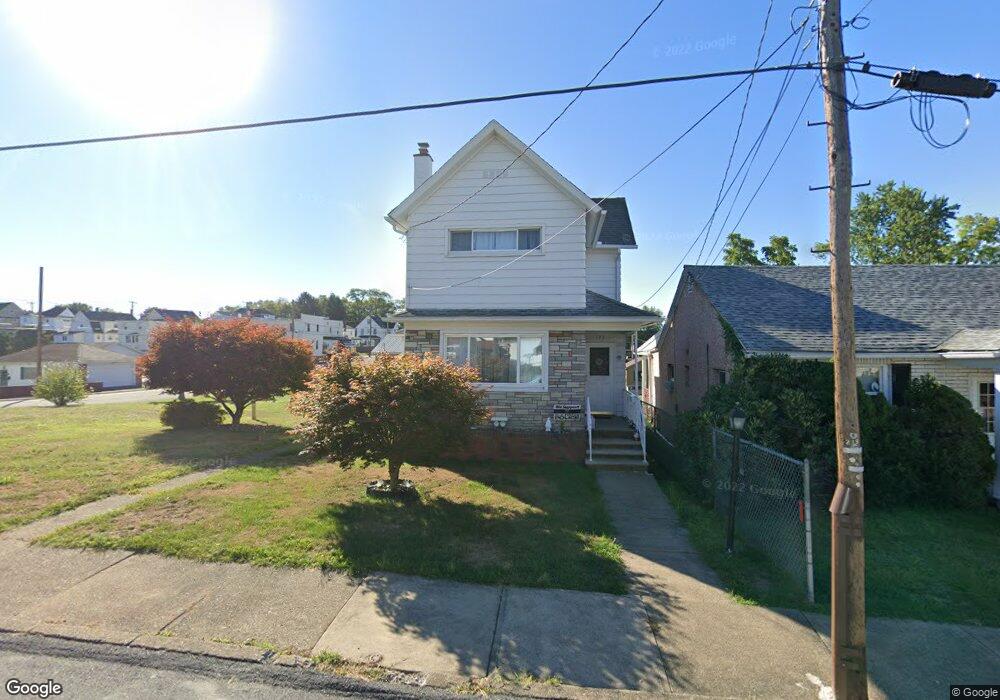
427 Sampson St Old Forge, PA 18518
Estimated Value: $237,812 - $286,000
3
Beds
2
Baths
1,963
Sq Ft
$130/Sq Ft
Est. Value
About This Home
This home is located at 427 Sampson St, Old Forge, PA 18518 and is currently estimated at $255,453, approximately $130 per square foot. 427 Sampson St is a home located in Lackawanna County with nearby schools including Old Forge Elementary School, Old Forge Junior/Senior High School, and Triboro Christian Academy.
Ownership History
Date
Name
Owned For
Owner Type
Purchase Details
Closed on
Mar 10, 2022
Sold by
Gallagher and Linda
Bought by
Bidwell Darrin and Bidwell Michelle
Current Estimated Value
Home Financials for this Owner
Home Financials are based on the most recent Mortgage that was taken out on this home.
Original Mortgage
$178,703
Outstanding Balance
$166,834
Interest Rate
3.85%
Mortgage Type
FHA
Estimated Equity
$88,619
Purchase Details
Closed on
May 1, 2004
Bought by
Gallagher Maureen
Create a Home Valuation Report for This Property
The Home Valuation Report is an in-depth analysis detailing your home's value as well as a comparison with similar homes in the area
Home Values in the Area
Average Home Value in this Area
Purchase History
| Date | Buyer | Sale Price | Title Company |
|---|---|---|---|
| Bidwell Darrin | $182,000 | None Listed On Document | |
| Gallagher Maureen | $87,500 | -- |
Source: Public Records
Mortgage History
| Date | Status | Borrower | Loan Amount |
|---|---|---|---|
| Open | Bidwell Darrin | $178,703 |
Source: Public Records
Tax History
| Year | Tax Paid | Tax Assessment Tax Assessment Total Assessment is a certain percentage of the fair market value that is determined by local assessors to be the total taxable value of land and additions on the property. | Land | Improvement |
|---|---|---|---|---|
| 2025 | $2,075 | $8,000 | $0 | $8,000 |
| 2024 | $1,850 | $8,000 | $0 | $8,000 |
| 2023 | $1,850 | $8,000 | $0 | $8,000 |
| 2022 | $1,788 | $8,000 | $0 | $8,000 |
| 2021 | $1,739 | $8,000 | $0 | $8,000 |
| 2020 | $1,719 | $8,000 | $0 | $8,000 |
| 2019 | $1,647 | $8,000 | $0 | $8,000 |
| 2018 | $1,631 | $8,000 | $0 | $8,000 |
| 2017 | $1,631 | $8,000 | $0 | $8,000 |
| 2016 | $910 | $8,000 | $0 | $0 |
| 2015 | -- | $8,000 | $0 | $0 |
| 2014 | -- | $8,000 | $0 | $0 |
Source: Public Records
Map
Nearby Homes
- 184 N Main St
- 906 Sampson St
- 133 Corcoran St
- Lot 02 Casey Ave
- Lot 02 Sibley Ave
- 307 Charles St
- 602 S Main St
- 717 Beech St
- 800 W Oak St
- 254 Hoover St
- 112 E Taylor St
- Parcel B Davis Ct
- 208 W Taylor St
- 112 E Grove St Unit 114
- 0 Cooper St Unit GSBSC255606
- 421 W Mary St
- 1213 1215 Lori Ln
- 134 Taroli St
- 115 W High St
- 828 Glenwood Rd
Your Personal Tour Guide
Ask me questions while you tour the home.