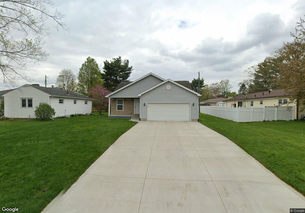
427 Sherwood Dr E Newark, OH 43055
Estimated Value: $212,000 - $259,000
3
Beds
2
Baths
1,101
Sq Ft
$211/Sq Ft
Est. Value
About This Home
This home is located at 427 Sherwood Dr E, Newark, OH 43055 and is currently estimated at $232,073, approximately $210 per square foot. 427 Sherwood Dr E is a home located in Licking County with nearby schools including John Clem Elementary School, Liberty Middle School, and Newark High School.
Ownership History
Date
Name
Owned For
Owner Type
Purchase Details
Closed on
Feb 23, 2007
Sold by
Mickey William A and Mickey Angela M
Bought by
Powe Luevoka J
Current Estimated Value
Home Financials for this Owner
Home Financials are based on the most recent Mortgage that was taken out on this home.
Original Mortgage
$126,775
Outstanding Balance
$76,396
Interest Rate
6.27%
Mortgage Type
FHA
Estimated Equity
$155,677
Purchase Details
Closed on
Dec 2, 2004
Sold by
Kingery Mary F
Bought by
Kingery Mary F
Create a Home Valuation Report for This Property
The Home Valuation Report is an in-depth analysis detailing your home's value as well as a comparison with similar homes in the area
Home Values in the Area
Average Home Value in this Area
Purchase History
| Date | Buyer | Sale Price | Title Company |
|---|---|---|---|
| Powe Luevoka J | $127,800 | Attorney | |
| Kingery Mary F | -- | -- |
Source: Public Records
Mortgage History
| Date | Status | Borrower | Loan Amount |
|---|---|---|---|
| Open | Powe Luevoka J | $126,775 |
Source: Public Records
Tax History Compared to Growth
Tax History
| Year | Tax Paid | Tax Assessment Tax Assessment Total Assessment is a certain percentage of the fair market value that is determined by local assessors to be the total taxable value of land and additions on the property. | Land | Improvement |
|---|---|---|---|---|
| 2024 | $2,093 | $58,520 | $13,930 | $44,590 |
| 2023 | $2,089 | $58,520 | $13,930 | $44,590 |
| 2022 | $1,815 | $45,230 | $7,810 | $37,420 |
| 2021 | $1,903 | $45,230 | $7,810 | $37,420 |
| 2020 | $1,946 | $45,230 | $7,810 | $37,420 |
| 2019 | $1,577 | $35,280 | $6,510 | $28,770 |
| 2018 | $1,578 | $0 | $0 | $0 |
| 2017 | $1,512 | $0 | $0 | $0 |
| 2016 | $2,019 | $0 | $0 | $0 |
| 2015 | $2,062 | $0 | $0 | $0 |
| 2014 | $2,642 | $0 | $0 | $0 |
| 2013 | $1,952 | $0 | $0 | $0 |
Source: Public Records
Map
Nearby Homes
- 425 N 11th St
- 333 N 10th St
- 355 Eddy St
- 383 Central Ave
- 467 Mount Vernon Rd
- 542 Mount Vernon Rd
- 408 Granville St
- 361 Granville St
- 403 Meadowbrook Dr
- 370 Meadowbrook Dr
- 69 Wallace St
- 227 N Quentin Rd
- 52 Charles St
- 64 N 10th St
- 27 W North St
- 188 Meadow Dr
- 184 Meadow Dr
- 218 Granville St
- 423 Hudson Ave
- 533 Leslie Dr
- 421 Sherwood Dr E
- 437 Sherwood Dr N
- 437 Sherwood Dr E
- 437 Mellars Ln
- 411 Sherwood Dr E
- 420 Sherwood Dr W
- 428 Sherwood Dr W
- 243 Sherwood Dr N
- 412 Sherwood Dr W
- 405 Mellars Ln
- 420 Sherwood Dr E
- 428 Sherwood Dr E
- 412 Sherwood Dr E
- 404 Sherwood Dr W
- 436 Sherwood Dr E
- 1236 Sherwood Dr E
- 270 W Shields St
- 442 Sherwood Dr E
- 421 Sherwood Dr W
- 429 Sherwood Dr W