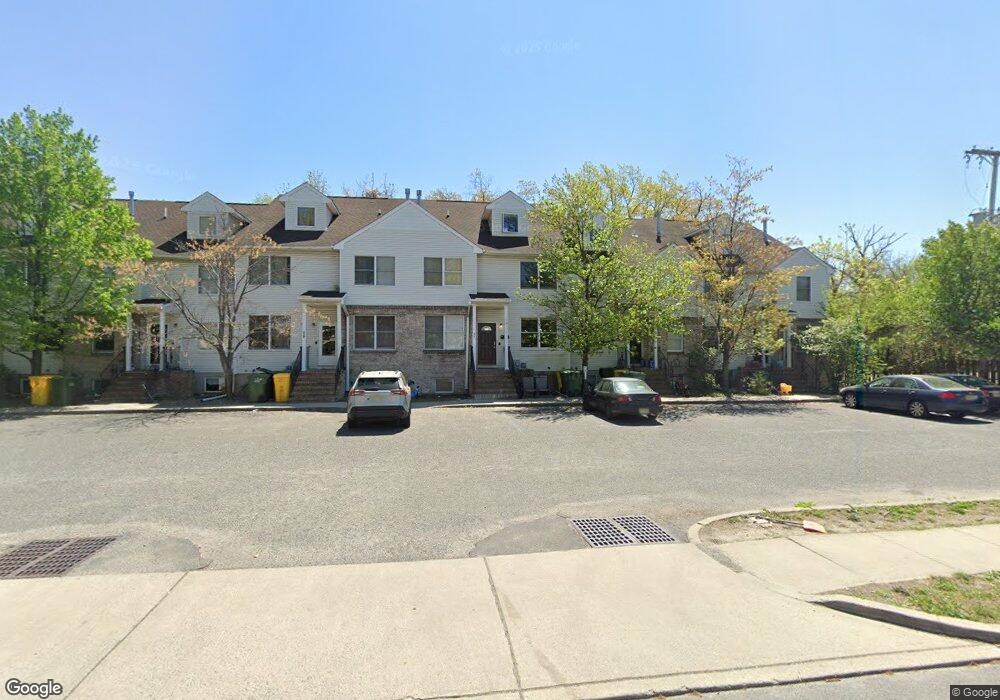
427 Squankum Rd Lakewood, NJ 08701
Estimated Value: $887,294 - $1,118,000
--
Bed
5
Baths
3,948
Sq Ft
$251/Sq Ft
Est. Value
About This Home
This home is located at 427 Squankum Rd, Lakewood, NJ 08701 and is currently estimated at $991,074, approximately $251 per square foot. 427 Squankum Rd is a home located in Ocean County with nearby schools including Lakewood High School, Yeshiva K'tana Of Lakewood, and Derech Hatorah of Lakewood.
Ownership History
Date
Name
Owned For
Owner Type
Purchase Details
Closed on
Mar 22, 2017
Sold by
Taub Mordechai and Taub Chaya
Bought by
427 Squankum Llc
Current Estimated Value
Home Financials for this Owner
Home Financials are based on the most recent Mortgage that was taken out on this home.
Original Mortgage
$945,000
Outstanding Balance
$783,209
Interest Rate
4.15%
Mortgage Type
New Conventional
Estimated Equity
$207,865
Purchase Details
Closed on
Jul 20, 2007
Sold by
Taub Mordechai
Bought by
Taub Mordechai and Taub Chaya
Create a Home Valuation Report for This Property
The Home Valuation Report is an in-depth analysis detailing your home's value as well as a comparison with similar homes in the area
Home Values in the Area
Average Home Value in this Area
Purchase History
| Date | Buyer | Sale Price | Title Company |
|---|---|---|---|
| 427 Squankum Llc | $425,000 | -- | |
| Taub Mordechai | -- | Concord Title Agency |
Source: Public Records
Mortgage History
| Date | Status | Borrower | Loan Amount |
|---|---|---|---|
| Open | 427 Squankum Llc | $945,000 |
Source: Public Records
Tax History Compared to Growth
Tax History
| Year | Tax Paid | Tax Assessment Tax Assessment Total Assessment is a certain percentage of the fair market value that is determined by local assessors to be the total taxable value of land and additions on the property. | Land | Improvement |
|---|---|---|---|---|
| 2025 | $12,191 | $490,600 | $202,000 | $288,600 |
| 2024 | $11,598 | $490,600 | $202,000 | $288,600 |
| 2023 | $11,195 | $490,600 | $202,000 | $288,600 |
| 2022 | $11,195 | $490,600 | $202,000 | $288,600 |
| 2021 | $11,176 | $490,600 | $202,000 | $288,600 |
| 2020 | $11,146 | $490,600 | $202,000 | $288,600 |
| 2019 | $10,725 | $490,600 | $202,000 | $288,600 |
| 2018 | $10,293 | $490,600 | $202,000 | $288,600 |
| 2017 | $10,067 | $490,600 | $202,000 | $288,600 |
| 2016 | $12,403 | $423,300 | $144,200 | $279,100 |
| 2015 | $12,001 | $423,300 | $144,200 | $279,100 |
| 2014 | $11,383 | $423,300 | $144,200 | $279,100 |
Source: Public Records
Map
Nearby Homes
- 32 E 13th St
- 6 11th St
- 6 11th St Unit B
- 1701 Princeton Ave
- 176 Downing St Unit 1
- 52 E 9th St
- 184 Downing St
- 180 Tudor Ct Unit 10
- 0 Appolo Rd
- 114 Carey St
- 156 Tudor Ct
- 907 Park Terrace
- 27 7th St Unit 2
- 126 14th St
- 601 Appolo Rd
- 402 Twin Oaks Dr
- 1013 Lexington Ave
- 0 E County Line Rd
- 116 6th St
- 957 E County Line Rd