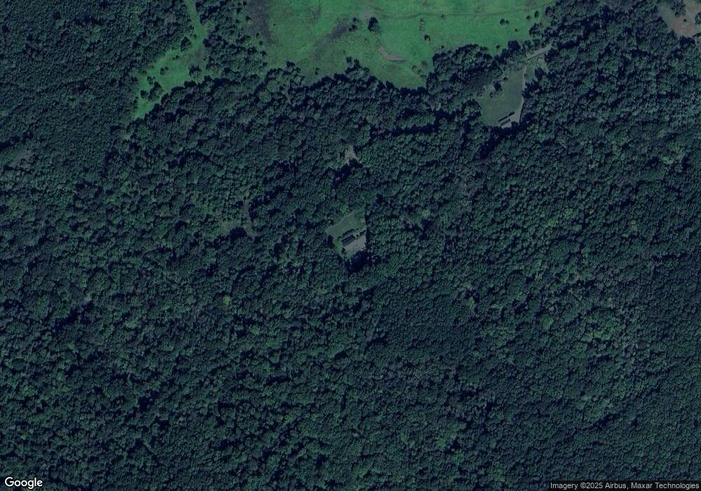
427 Walnut Tree Ln Newport, VA 24128
Estimated Value: $486,000 - $514,896
4
Beds
--
Bath
2,700
Sq Ft
$185/Sq Ft
Est. Value
About This Home
This home is located at 427 Walnut Tree Ln, Newport, VA 24128 and is currently estimated at $500,448, approximately $185 per square foot. 427 Walnut Tree Ln is a home located in Craig County with nearby schools including McCleary Elementary School and Craig County High School.
Ownership History
Date
Name
Owned For
Owner Type
Purchase Details
Closed on
Apr 7, 2009
Sold by
Delpercio Machael J and Delpercio Jeanette D
Bought by
Newbill Jonathan P and Newbill Phyllis L
Current Estimated Value
Home Financials for this Owner
Home Financials are based on the most recent Mortgage that was taken out on this home.
Original Mortgage
$192,000
Outstanding Balance
$120,853
Interest Rate
4.86%
Mortgage Type
New Conventional
Estimated Equity
$379,595
Create a Home Valuation Report for This Property
The Home Valuation Report is an in-depth analysis detailing your home's value as well as a comparison with similar homes in the area
Purchase History
| Date | Buyer | Sale Price | Title Company |
|---|---|---|---|
| Newbill Jonathan P | $240,000 | Lawyers Title Insurance |
Source: Public Records
Mortgage History
| Date | Status | Borrower | Loan Amount |
|---|---|---|---|
| Open | Newbill Jonathan P | $192,000 |
Source: Public Records
Tax History
| Year | Tax Paid | Tax Assessment Tax Assessment Total Assessment is a certain percentage of the fair market value that is determined by local assessors to be the total taxable value of land and additions on the property. | Land | Improvement |
|---|---|---|---|---|
| 2025 | $1,764 | $339,200 | $65,300 | $273,900 |
| 2024 | $1,764 | $339,200 | $65,300 | $273,900 |
| 2023 | $1,770 | $247,400 | $52,200 | $195,200 |
| 2022 | $1,559 | $247,400 | $52,200 | $195,200 |
| 2021 | $1,559 | $247,400 | $52,200 | $195,200 |
| 2020 | $1,460 | $247,400 | $52,200 | $195,200 |
| 2019 | $1,460 | $247,400 | $52,200 | $195,200 |
| 2018 | $1,460 | $247,400 | $52,200 | $195,200 |
| 2016 | $1,388 | $247,900 | $52,200 | $195,700 |
| 2014 | $1,388 | $247,900 | $52,200 | $195,700 |
Source: Public Records
Map
Nearby Homes
- Lot 24 Gobbler Ln
- 4565 Chowning Trail
- 1634 Smithfield Dr
- 1010 Madison Ln
- 0 Coal Bank Hollow Rd
- 932 Mount Mission Church Rd
- 960 Coalwood Way
- 3390 Craig Creek Rd
- 1258 Treetop Ridge Rd
- 1030 Treetop Ridge Rd
- 220 Bishop Rd
- 0 Farmingdale Ln
- 3530 Evergreen Trail
- 224 Bishop Rd
- 416 Vinyard Ave
- TBD .744 Acres Mount Tabor Rd
- 700 Bishop Rd
- 3768 Bay Tree Place
- 207 Woodbine Dr
- TBD Hidden Valley Dr
- 0 Lot D Rt 675 Unit 96372
- 129 Walnut Tree Ln
- 47 Walnut Tree Ln
- 17 Walnut Tree Ln
- 515 Northside Rd
- 491 Northside Rd
- 114 Northside Rd
- 949 Northside Rd
- 296 Allen Taylor Farm Rd
- 371 Northside Rd
- 1768 Cumberland Gap Rd
- 204 Allen Taylor Farm Rd
- 80 Sinking Creek Crossing
- 1545 Cumberland Gap Rd
- 0 Sinking Creek Crossing Unit 311520
- 1891 Cumberland Gap Rd
- 63 Sinking Creek Dr
- 1977 Cumberland Gap Rd
- 12 Clover Hollow Trail
- 1240 Cumberland Gap Rd
