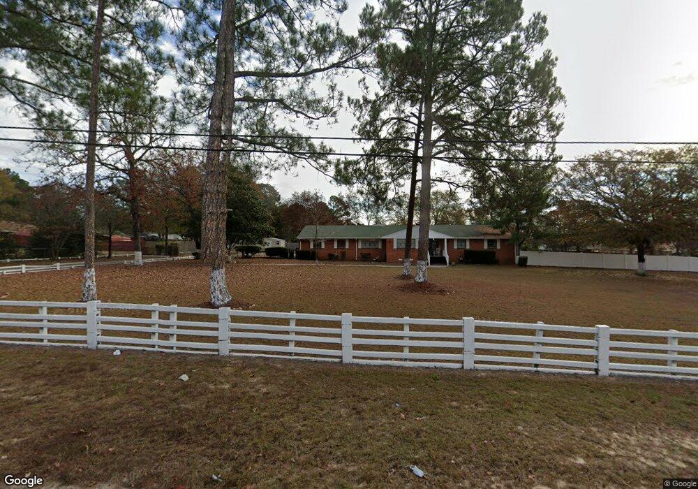
4272 James Dr Hephzibah, GA 30815
Richmond Factory NeighborhoodEstimated Value: $206,000 - $252,000
3
Beds
2
Baths
2,448
Sq Ft
$91/Sq Ft
Est. Value
About This Home
This home is located at 4272 James Dr, Hephzibah, GA 30815 and is currently estimated at $223,228, approximately $91 per square foot. 4272 James Dr is a home located in Richmond County with nearby schools including Willis Foreman Elementary School, Hephzibah Middle School, and Johnson Magnet.
Ownership History
Date
Name
Owned For
Owner Type
Purchase Details
Closed on
Sep 18, 2020
Sold by
Embry Willie H
Bought by
Embry Willie H and Embry Patricia
Current Estimated Value
Purchase Details
Closed on
May 11, 1995
Sold by
Embry Jean L
Bought by
Embry Willie H
Purchase Details
Closed on
May 4, 1995
Sold by
Embry Jean L
Bought by
Embry Willie H
Create a Home Valuation Report for This Property
The Home Valuation Report is an in-depth analysis detailing your home's value as well as a comparison with similar homes in the area
Home Values in the Area
Average Home Value in this Area
Purchase History
| Date | Buyer | Sale Price | Title Company |
|---|---|---|---|
| Embry Willie H | -- | -- | |
| Embry Willie H | -- | -- | |
| Embry Willie H | -- | -- |
Source: Public Records
Tax History Compared to Growth
Tax History
| Year | Tax Paid | Tax Assessment Tax Assessment Total Assessment is a certain percentage of the fair market value that is determined by local assessors to be the total taxable value of land and additions on the property. | Land | Improvement |
|---|---|---|---|---|
| 2025 | $653 | $95,064 | $3,600 | $91,464 |
| 2024 | $653 | $74,884 | $3,600 | $71,284 |
| 2023 | $535 | $65,880 | $3,600 | $62,280 |
| 2022 | $520 | $72,933 | $3,600 | $69,333 |
| 2021 | $520 | $49,247 | $3,600 | $45,647 |
| 2020 | $520 | $49,247 | $3,600 | $45,647 |
| 2019 | $520 | $49,193 | $3,600 | $45,593 |
| 2018 | $785 | $64,946 | $3,600 | $61,346 |
| 2017 | $614 | $64,946 | $3,600 | $61,346 |
| 2016 | $614 | $64,946 | $3,600 | $61,346 |
| 2015 | $614 | $64,946 | $3,600 | $61,346 |
| 2014 | $614 | $47,150 | $3,600 | $43,550 |
Source: Public Records
Map
Nearby Homes
- 2382 Patrick Ave
- 2339 Basswood Dr
- 2348 Fieldcrest Dr S
- 2382 Travis Pines Dr
- 4212 Cap Chat St
- 2325 Moncrieff St
- 4309 Windsor Spring Rd
- 2369 Plantation Rd
- 2383 Richwood Dr
- 212 Willowton Ln
- 210 Willowton Ln
- 208 Willowton Ln
- 206 Willowton Ln
- 1009 Megan Ln
- 1018 Rosendale Dr
- 1016 Rosendale Dr
- 2369a Plantation Rd
- 1012 Rosendale Dr
- 2806 Wyndham Dr
- 2603 Ardwick Dr
- 4270 James Dr
- 4011 Ramswood Dr
- 2404 Bristol Place Ct
- 2406 Bristol Place Ct
- 4004 Ramswood Dr
- 4006 Ramswood Dr
- 4013 Ramswood Dr
- 4023 Ramswood Dr
- 4025 Ramswood Dr
- 4027 Ramswood Dr
- 4029 Ramswood Dr
- 4031 Ramswood Dr
- 4008 Ramswood Dr
- 4002 Ramswood Dr
- 4268 James Dr
- 2408 Bristol Place Ct
- 4010 Ramswood Dr
- 4217 James Dr
- 4015 Ramswood Dr
- 4012 Ramswood Dr