4272 Kay Ave Springfield, OH 45502
Estimated Value: $263,000 - $387,000
3
Beds
3
Baths
1,769
Sq Ft
$196/Sq Ft
Est. Value
About This Home
This home is located at 4272 Kay Ave, Springfield, OH 45502 and is currently estimated at $346,527, approximately $195 per square foot. 4272 Kay Ave is a home located in Clark County with nearby schools including Northridge Elementary School and Kenton Ridge Middle & High School.
Ownership History
Date
Name
Owned For
Owner Type
Purchase Details
Closed on
Dec 22, 1995
Sold by
Minette Michael A
Bought by
Lyons James J and Lyons Susan D
Current Estimated Value
Home Financials for this Owner
Home Financials are based on the most recent Mortgage that was taken out on this home.
Original Mortgage
$120,000
Interest Rate
7.43%
Purchase Details
Closed on
Jul 21, 1993
Create a Home Valuation Report for This Property
The Home Valuation Report is an in-depth analysis detailing your home's value as well as a comparison with similar homes in the area
Purchase History
| Date | Buyer | Sale Price | Title Company |
|---|---|---|---|
| Lyons James J | $151,000 | -- | |
| -- | -- | -- |
Source: Public Records
Mortgage History
| Date | Status | Borrower | Loan Amount |
|---|---|---|---|
| Closed | Lyons James J | $120,000 |
Source: Public Records
Tax History
| Year | Tax Paid | Tax Assessment Tax Assessment Total Assessment is a certain percentage of the fair market value that is determined by local assessors to be the total taxable value of land and additions on the property. | Land | Improvement |
|---|---|---|---|---|
| 2025 | $3,668 | $99,290 | $25,840 | $73,450 |
| 2024 | $3,547 | $83,700 | $18,750 | $64,950 |
| 2023 | $3,547 | $83,700 | $18,750 | $64,950 |
| 2022 | $3,560 | $83,700 | $18,750 | $64,950 |
| 2021 | $3,311 | $65,990 | $14,890 | $51,100 |
| 2020 | $3,314 | $65,990 | $14,890 | $51,100 |
| 2019 | $3,377 | $65,990 | $14,890 | $51,100 |
| 2018 | $3,180 | $59,630 | $14,890 | $44,740 |
| 2017 | $2,726 | $54,506 | $14,886 | $39,620 |
| 2016 | $2,707 | $54,506 | $14,886 | $39,620 |
| 2015 | $2,883 | $54,506 | $14,886 | $39,620 |
| 2014 | $2,883 | $54,506 | $14,886 | $39,620 |
| 2013 | $2,816 | $54,506 | $14,886 | $39,620 |
Source: Public Records
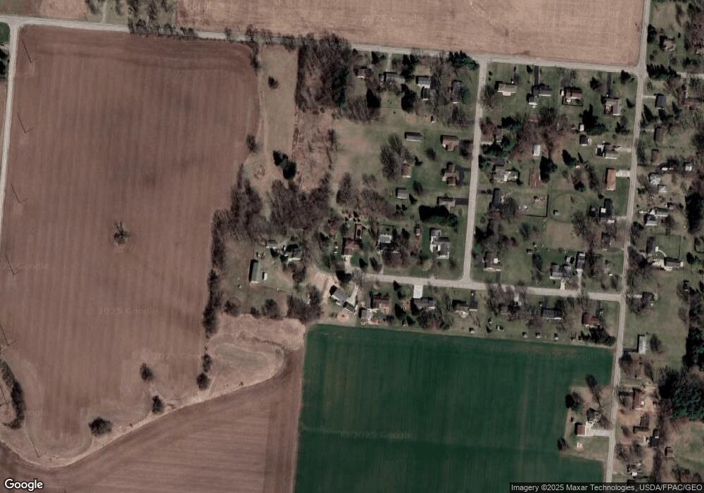
Map
Nearby Homes
- 4273 Kay Ave
- 4607 Plateau Dr S
- 4954 E County Line Rd
- 5060 Morris Rd
- 1977 Willoughby Ave
- 4500 Bosart Rd
- 4890 Brannan Dr W Unit 4890
- 1470 Oldham Dr Unit 12
- 1398 Elizabeth Ct Unit 66
- 5564 Ridgewood Rd E Unit 7
- 4732 Lehigh Dr
- 1495 Victorian Way
- 4816 Middle Urbana Rd
- 1521 Erika Dr
- 5033 Ridgewood Rd E
- 5564 Ridgewood Rd W
- 4652 Reno Ln Unit 15
- 4180 Briarwood Dr
- 4381 Briarwood Dr
- 4577 Reno Ln Unit 2
Your Personal Tour Guide
Ask me questions while you tour the home.