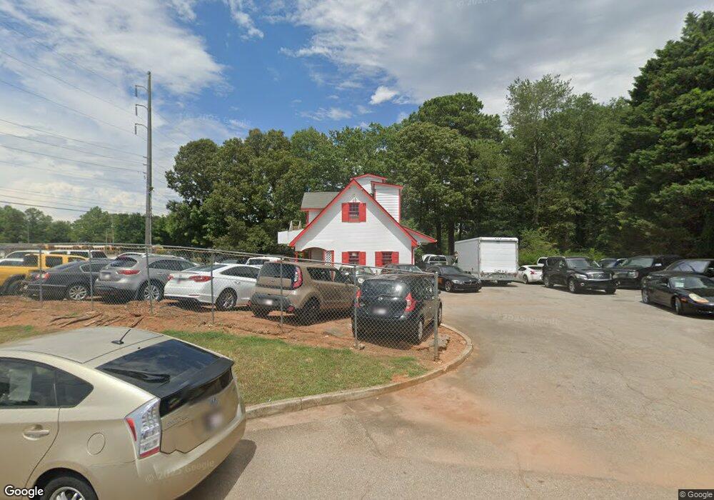
4276 Buford Hwy Duluth, GA 30096
Estimated Value: $832,902
--
Bed
--
Bath
1,500
Sq Ft
$555/Sq Ft
Est. Value
About This Home
This home is located at 4276 Buford Hwy, Duluth, GA 30096 and is currently estimated at $832,902, approximately $555 per square foot. 4276 Buford Hwy is a home located in Gwinnett County with nearby schools including Charles Brant Chesney Elementary School, Duluth Middle School, and Duluth High School.
Ownership History
Date
Name
Owned For
Owner Type
Purchase Details
Closed on
May 16, 2006
Sold by
Cleves Inc
Bought by
Shayesteh Mohammad
Current Estimated Value
Home Financials for this Owner
Home Financials are based on the most recent Mortgage that was taken out on this home.
Original Mortgage
$327,250
Outstanding Balance
$187,343
Interest Rate
6.39%
Mortgage Type
Commercial
Estimated Equity
$645,559
Create a Home Valuation Report for This Property
The Home Valuation Report is an in-depth analysis detailing your home's value as well as a comparison with similar homes in the area
Home Values in the Area
Average Home Value in this Area
Purchase History
| Date | Buyer | Sale Price | Title Company |
|---|---|---|---|
| Shayesteh Mohammad | $385,000 | -- |
Source: Public Records
Mortgage History
| Date | Status | Borrower | Loan Amount |
|---|---|---|---|
| Open | Shayesteh Mohammad | $327,250 |
Source: Public Records
Tax History Compared to Growth
Tax History
| Year | Tax Paid | Tax Assessment Tax Assessment Total Assessment is a certain percentage of the fair market value that is determined by local assessors to be the total taxable value of land and additions on the property. | Land | Improvement |
|---|---|---|---|---|
| 2025 | $5,219 | $140,400 | $99,360 | $41,040 |
| 2024 | $5,737 | $153,560 | $99,360 | $54,200 |
| 2023 | $5,737 | $142,520 | $99,360 | $43,160 |
| 2022 | $4,094 | $107,160 | $87,360 | $19,800 |
| 2021 | $4,169 | $107,160 | $87,360 | $19,800 |
| 2020 | $4,196 | $107,160 | $87,360 | $19,800 |
| 2019 | $4,047 | $107,160 | $87,360 | $19,800 |
| 2018 | $2,140 | $52,320 | $34,960 | $17,360 |
| 2016 | $2,138 | $52,320 | $34,960 | $17,360 |
| 2015 | $2,159 | $52,320 | $34,960 | $17,360 |
| 2014 | $2,170 | $52,320 | $34,960 | $17,360 |
Source: Public Records
Map
Nearby Homes
- 4245 Almanor Cir
- 4196 Buford Hwy
- 4136 Buford Hwy
- 2896 Landington Way
- 2865 Landington Way
- 4368 Buckingham Place
- 4302 Inverness Rd
- 4328 Buckingham Place
- 3969 Leeward Ct Unit 4
- 2730 Shelter Cove NW
- 337 Lakeshore Dr
- 2688 Cranston Ln
- 3980 Howell Park Rd
- 4172 Howell Park Rd
- 2606 Gravitt Rd Unit 2
- 4569 Iroquois Trail
- 3991 Centennial Trail
- 4777 Overlook View Ct
- 724 Lakeshore Dr NW
- 2638 Village Park Bend
- 4266 Buford Hwy
- 2966 W Mount Tabor Cir
- 4256 Buford Hwy
- 4495 Almanor Cir
- 4335 Almanor Cir
- 4245 Almanor Cir
- 2946 W Mount Tabor Cir
- 4465 Almanor Cir
- 2747 E Mount Tabor Cir
- 2757 E Mount Tabor Cir
- 4265 Almanor Cir
- 0 Mount Tabor Cir Unit 7228591
- 2737 E Mount Tabor Cir
- 2787 E Mount Tabor Cir
- 4425 Almanor Cir
- 4475 Almanor Cir
- 4415 Almanor Cir
- 4505 Almanor Cir
- 4375 Almanor Cir
- 4365 Almanor Cir