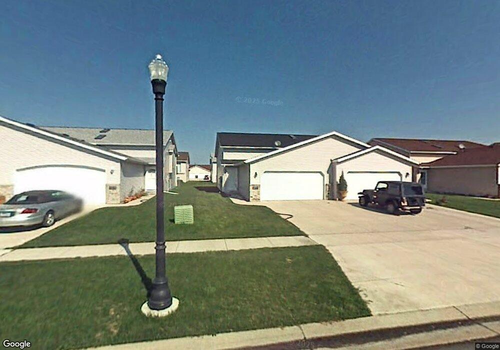
4277 39 1 2 Ave S Fargo, ND 58104
Woodhaven NeighborhoodEstimated Value: $269,000 - $282,000
3
Beds
2
Baths
1,968
Sq Ft
$140/Sq Ft
Est. Value
About This Home
This home is located at 4277 39 1 2 Ave S, Fargo, ND 58104 and is currently estimated at $274,942, approximately $139 per square foot. 4277 39 1 2 Ave S is a home located in Cass County with nearby schools including Kennedy Elementary School, Discovery Middle School, and Fargo Davies High School.
Ownership History
Date
Name
Owned For
Owner Type
Purchase Details
Closed on
Sep 13, 2018
Sold by
Schott Kathryn A and Schott Brian
Bought by
Smith Obediah O and Smith Margaret T
Current Estimated Value
Home Financials for this Owner
Home Financials are based on the most recent Mortgage that was taken out on this home.
Original Mortgage
$189,012
Outstanding Balance
$161,715
Interest Rate
3.75%
Mortgage Type
FHA
Estimated Equity
$113,227
Purchase Details
Closed on
Nov 28, 2008
Sold by
Housing Fiance Agency
Bought by
Secretary Of Hud
Purchase Details
Closed on
Nov 25, 2008
Sold by
Bradford Patricia J and Bradford Jason E
Bought by
Industrial Commission Of North Dakota
Create a Home Valuation Report for This Property
The Home Valuation Report is an in-depth analysis detailing your home's value as well as a comparison with similar homes in the area
Home Values in the Area
Average Home Value in this Area
Purchase History
| Date | Buyer | Sale Price | Title Company |
|---|---|---|---|
| Smith Obediah O | $192,500 | Title Co | |
| Secretary Of Hud | -- | -- | |
| Industrial Commission Of North Dakota | $132,491 | -- |
Source: Public Records
Mortgage History
| Date | Status | Borrower | Loan Amount |
|---|---|---|---|
| Open | Smith Obediah O | $189,012 |
Source: Public Records
Tax History Compared to Growth
Tax History
| Year | Tax Paid | Tax Assessment Tax Assessment Total Assessment is a certain percentage of the fair market value that is determined by local assessors to be the total taxable value of land and additions on the property. | Land | Improvement |
|---|---|---|---|---|
| 2024 | $3,262 | $120,850 | $18,100 | $102,750 |
| 2023 | $3,086 | $115,400 | $16,100 | $99,300 |
| 2022 | $2,857 | $104,900 | $16,100 | $88,800 |
| 2021 | $2,562 | $95,350 | $16,100 | $79,250 |
| 2020 | $2,547 | $95,350 | $16,100 | $79,250 |
| 2019 | $2,550 | $95,350 | $8,950 | $86,400 |
| 2018 | $2,511 | $95,350 | $8,950 | $86,400 |
| 2017 | $2,329 | $89,300 | $8,950 | $80,350 |
| 2016 | $1,864 | $77,650 | $8,950 | $68,700 |
| 2015 | $1,982 | $77,650 | $6,700 | $70,950 |
| 2014 | $1,976 | $75,200 | $6,700 | $68,500 |
| 2013 | $1,885 | $71,600 | $6,700 | $64,900 |
Source: Public Records
Map
Nearby Homes
- 4277 39 1/2 Ave S
- 4275 39 1 2 Ave S
- 4275 39 1/2 Ave S
- 4279 39 1/2 Ave S
- 4279 39 1 2 Ave S
- 4273 39 1/2 Ave S
- 4273 39 1 2 Ave S
- 4281 39 1 2 Ave S
- 4281 39 1/2 Ave S
- 4271 39 1/2 Ave S
- 4283 39 1/2 Ave S
- 4274 39th Ave S
- 4272 39th Ave S
- 4276 39th Ave S
- 4285 39 1 2 Ave S
- 4267 39 1/2 Ave S
- 4270 39th Ave S
- 4278 39th Ave S
- 4285 39 1/2 Ave S
- 4267 39 1 2 Ave S