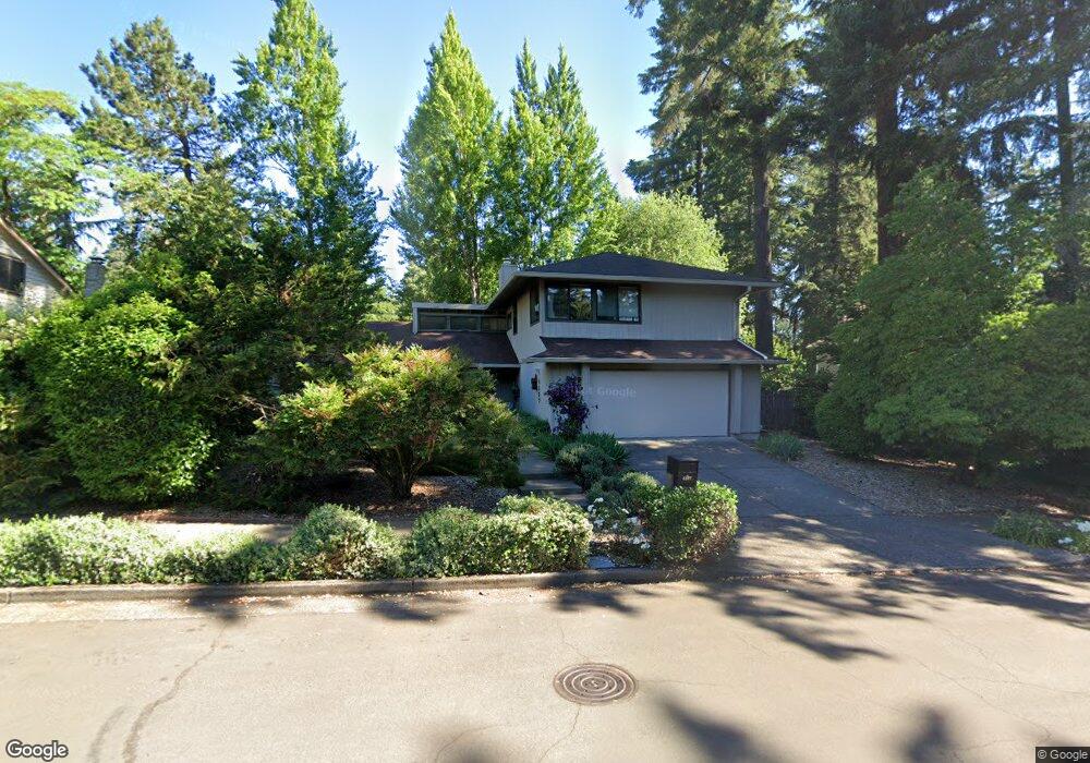
4277 Bernard St Lake Oswego, OR 97035
Bryant NeighborhoodEstimated Value: $822,754 - $1,127,000
4
Beds
3
Baths
2,542
Sq Ft
$370/Sq Ft
Est. Value
About This Home
This home is located at 4277 Bernard St, Lake Oswego, OR 97035 and is currently estimated at $941,439, approximately $370 per square foot. 4277 Bernard St is a home located in Clackamas County with nearby schools including Westridge Elementary School, Lakeridge Middle School, and Lakeridge High School.
Ownership History
Date
Name
Owned For
Owner Type
Purchase Details
Closed on
May 15, 2015
Sold by
Kroese Hans A Stenfert and Moldzynska Ania M
Bought by
Hans A Stenfert Kroese Revocable Living
Current Estimated Value
Purchase Details
Closed on
Oct 29, 2002
Sold by
French Robert R and French Judith A
Bought by
Kroese Hans A Stenfert and Moldzynska Ania M
Home Financials for this Owner
Home Financials are based on the most recent Mortgage that was taken out on this home.
Original Mortgage
$239,920
Outstanding Balance
$98,392
Interest Rate
5.99%
Estimated Equity
$843,047
Create a Home Valuation Report for This Property
The Home Valuation Report is an in-depth analysis detailing your home's value as well as a comparison with similar homes in the area
Home Values in the Area
Average Home Value in this Area
Purchase History
| Date | Buyer | Sale Price | Title Company |
|---|---|---|---|
| Hans A Stenfert Kroese Revocable Living | -- | None Available | |
| Kroese Hans A Stenfert | $299,900 | Chicago Title |
Source: Public Records
Mortgage History
| Date | Status | Borrower | Loan Amount |
|---|---|---|---|
| Open | Kroese Hans A Stenfert | $239,920 |
Source: Public Records
Tax History Compared to Growth
Tax History
| Year | Tax Paid | Tax Assessment Tax Assessment Total Assessment is a certain percentage of the fair market value that is determined by local assessors to be the total taxable value of land and additions on the property. | Land | Improvement |
|---|---|---|---|---|
| 2025 | $7,057 | $367,461 | -- | -- |
| 2024 | $6,869 | $356,759 | -- | -- |
| 2023 | $6,869 | $346,368 | $0 | $0 |
| 2022 | $6,469 | $336,280 | $0 | $0 |
| 2021 | $5,975 | $326,486 | $0 | $0 |
| 2020 | $5,825 | $316,977 | $0 | $0 |
| 2019 | $5,681 | $307,745 | $0 | $0 |
| 2018 | $5,403 | $298,782 | $0 | $0 |
| 2017 | $5,213 | $290,080 | $0 | $0 |
| 2016 | $4,746 | $281,631 | $0 | $0 |
| 2015 | $4,586 | $273,428 | $0 | $0 |
| 2014 | -- | $265,464 | $0 | $0 |
Source: Public Records
Map
Nearby Homes
- 17855 Deerbrush Ave
- 17810 Sarah Hill Ln
- 18121 Deerbrush Ave
- 4224 Haven St
- 17595 Kelok Rd
- 4241 Cobb Way
- 4264 Westbay Rd
- 18300 Bryant Rd
- 4160 Westbay Rd
- 17367 Canal Cir
- 18434 Sandpiper Cir
- 4971 Lakeview Blvd
- 4470 Lakeview Blvd
- 4640 Lower Dr
- 18706 Bryant Rd
- 16755 Graef Cir
- 5225 Jean Rd Unit 307
- 4368 Lakeview Blvd
- 4023 Melissa Dr
- 4610 Lower Dr
- 4321 Bernard St
- 17811 Lake Haven Dr
- 17841 Lake Haven Dr
- 4280 Bernard St
- 17800 Lake Haven Dr
- 4351 Bernard St
- 17870 Deerbrush Ave
- 17869 Lake Haven Dr
- 17820 Lake Haven Dr
- 17846 Redfern Ave
- 4394 Lords Ln
- 4365 Bernard St
- 4328 Lords Ln
- 4250 Lords Ln
- 17838 Lake Haven Dr
- 4350 Lords Ln
- 17916 Deerbrush Ave
- 17911 Lake Haven Dr
- 17866 Lake Haven Dr
- 17621 Lake Haven Dr