4277 N Fm 51 Decatur, TX 76234
Estimated Value: $591,000
--
Bed
--
Bath
1,398
Sq Ft
$423/Sq Ft
Est. Value
About This Home
This home is located at 4277 N Fm 51, Decatur, TX 76234 and is currently estimated at $591,000, approximately $422 per square foot. 4277 N Fm 51 is a home located in Wise County with nearby schools including Decatur High School.
Ownership History
Date
Name
Owned For
Owner Type
Purchase Details
Closed on
Nov 24, 2008
Sold by
Wells Georgia and Moore Jeainenu
Bought by
Sandford Family Lp
Current Estimated Value
Home Financials for this Owner
Home Financials are based on the most recent Mortgage that was taken out on this home.
Original Mortgage
$160,000
Outstanding Balance
$104,994
Interest Rate
5.99%
Mortgage Type
Purchase Money Mortgage
Estimated Equity
$486,006
Purchase Details
Closed on
Jun 11, 2001
Sold by
Gage Kristin Et Vir
Bought by
Sandford Family Limited Partnership
Purchase Details
Closed on
Jan 1, 1901
Bought by
Sandford Family Limited Partnership
Create a Home Valuation Report for This Property
The Home Valuation Report is an in-depth analysis detailing your home's value as well as a comparison with similar homes in the area
Home Values in the Area
Average Home Value in this Area
Purchase History
| Date | Buyer | Sale Price | Title Company |
|---|---|---|---|
| Sandford Family Lp | -- | -- | |
| Sandford Family Limited Partnership | -- | -- | |
| Sandford Family Limited Partnership | -- | -- |
Source: Public Records
Mortgage History
| Date | Status | Borrower | Loan Amount |
|---|---|---|---|
| Open | Sandford Family Lp | $160,000 |
Source: Public Records
Tax History Compared to Growth
Tax History
| Year | Tax Paid | Tax Assessment Tax Assessment Total Assessment is a certain percentage of the fair market value that is determined by local assessors to be the total taxable value of land and additions on the property. | Land | Improvement |
|---|---|---|---|---|
| 2025 | $15 | $1,332 | $1,332 | -- |
| 2024 | $15 | $1,195 | $1,195 | $0 |
| 2023 | $14 | $1,195 | $0 | $0 |
| 2022 | $164 | $10,691 | $0 | $0 |
| 2021 | $171 | $110,270 | $110,270 | $0 |
| 2020 | $1,940 | $182,080 | $68,920 | $113,160 |
| 2019 | $1,876 | $171,030 | $68,920 | $102,110 |
| 2018 | $1,897 | $168,710 | $68,920 | $99,790 |
| 2017 | $1,803 | $189,620 | $97,640 | $91,980 |
| 2016 | $1,536 | $166,430 | $89,600 | $76,830 |
| 2015 | -- | $153,770 | $80,410 | $73,360 |
| 2014 | -- | $80,080 | $5,500 | $74,580 |
Source: Public Records
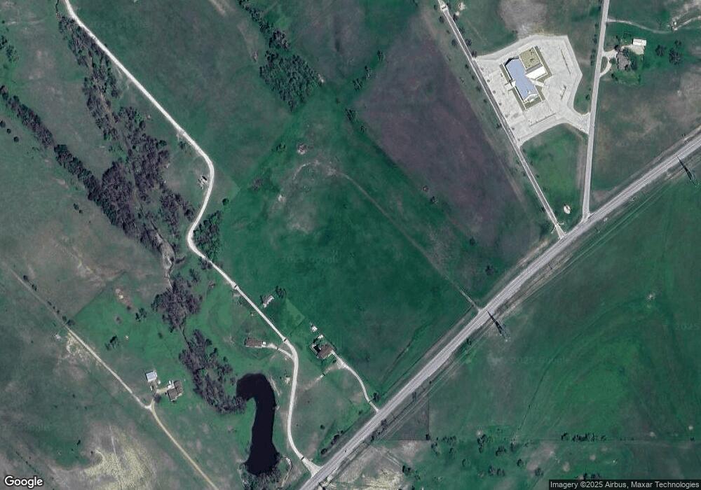
Map
Nearby Homes
- 124 Blackstar Ln
- 116 Blackstar Ln
- 132 Blackstar Ln
- 159 Blackstar Ln
- 0 Highway 287 Unit 21102120
- 0 Highway 287 Unit 21094377
- 145 County Road 2327
- 2727 Greenwood Rd
- 853 County Road 2215
- TBD3 N Fm 730
- 2080 County Road 2445
- 0000 Fm N 730
- TBD County Rd 2735
- TBD Pr 2454
- 2454 Private Rd
- 167 Pr-2313
- 188 Private Road 2356
- 4002 E Highway 380
- 130 Nicholas Way
- 459 Private Road 2625
- 4237 N Fm 51
- 4257 N Fm 51
- 303 Private Road 2429
- 303 Private Road 2429
- 4175 N Fm 51
- 4175 N Fm 51
- 1127 County Road 2425
- 920 County Road 2425
- 252 County Road 2426
- 898 County Road 2425
- 886 County Road 2425
- 428 Private Road 2429
- 428 Private Road 2429
- 874 County Road 2425
- 848 County Road 2425
- 577 Private Road 2429
- 836 County Road 2425
- 820 County Road 2425
- 802 County Road 2425
- 101 Private Road 2427