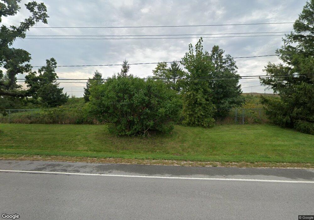
42774 N Kenosha Rd Zion, IL 60099
West Zion NeighborhoodEstimated Value: $636,524
--
Bed
2
Baths
--
Sq Ft
0.85
Acres
About This Home
This home is located at 42774 N Kenosha Rd, Zion, IL 60099 and is currently estimated at $636,524. 42774 N Kenosha Rd is a home located in Lake County with nearby schools including Newport Elementary School, Beach Park Middle School, and Zion-Benton Township High School.
Ownership History
Date
Name
Owned For
Owner Type
Purchase Details
Closed on
Mar 16, 2007
Sold by
Schlei Anthony J
Bought by
Veolia Es Zion Landfill Inc
Current Estimated Value
Purchase Details
Closed on
Feb 23, 1998
Sold by
Dozier Nicole M
Bought by
Schlei Anthony J
Purchase Details
Closed on
Apr 10, 1997
Sold by
Rafeldt Sandra L
Bought by
Schlei Anthony J and Dozier Nicole M
Home Financials for this Owner
Home Financials are based on the most recent Mortgage that was taken out on this home.
Original Mortgage
$137,750
Interest Rate
7.74%
Purchase Details
Closed on
Aug 29, 1994
Sold by
Krieg William J
Bought by
William J Krieg Trust
Create a Home Valuation Report for This Property
The Home Valuation Report is an in-depth analysis detailing your home's value as well as a comparison with similar homes in the area
Home Values in the Area
Average Home Value in this Area
Purchase History
| Date | Buyer | Sale Price | Title Company |
|---|---|---|---|
| Veolia Es Zion Landfill Inc | $450,000 | None Available | |
| Schlei Anthony J | -- | -- | |
| Schlei Anthony J | $145,000 | -- | |
| William J Krieg Trust | -- | -- |
Source: Public Records
Mortgage History
| Date | Status | Borrower | Loan Amount |
|---|---|---|---|
| Previous Owner | Schlei Anthony J | $137,750 |
Source: Public Records
Tax History Compared to Growth
Tax History
| Year | Tax Paid | Tax Assessment Tax Assessment Total Assessment is a certain percentage of the fair market value that is determined by local assessors to be the total taxable value of land and additions on the property. | Land | Improvement |
|---|---|---|---|---|
| 2024 | $1,267 | $11,259 | $11,259 | -- |
| 2023 | $3,219 | $10,038 | $10,038 | -- |
| 2022 | $3,219 | $24,974 | $24,974 | $0 |
| 2021 | $3,193 | $23,428 | $23,428 | $0 |
| 2020 | $3,098 | $22,035 | $22,035 | $0 |
| 2019 | $3,033 | $20,526 | $20,526 | $0 |
| 2018 | $3,115 | $20,525 | $20,525 | $0 |
| 2017 | $3,092 | $19,040 | $19,040 | $0 |
| 2016 | $2,882 | $17,284 | $17,284 | $0 |
| 2015 | $2,805 | $15,683 | $15,683 | $0 |
| 2014 | $3,018 | $17,169 | $17,169 | $0 |
| 2012 | $4,645 | $18,284 | $18,284 | $0 |
Source: Public Records
Map
Nearby Homes
- 0 9th St
- 42908 N Lewis Ave
- 43100 N Lewis Ave
- Lt0 128th St
- 1304 Pelican Ct
- 908 Countrywood Dr
- 3707 Willow Crest Dr
- 3717 Willow Crest Dr
- 43389 N Oakcrest Ln
- 429 Megan Place
- 1302 Lorelei Dr
- 11279 W Russell Rd
- 4014 Ridge Rd
- 1417 Westside Trail
- 1531 Southport Ct
- 1405 Lewis Ave
- 1521 Southport Ct
- 43411 Lynn Dale Dr
- 3616 Creekside Ct
- Lt0 39th Ave
- 42820 N Kenosha Rd
- 42834 N Kenosha Rd
- 623 N Kenosha Rd
- 42872 N Kenosha Rd
- 610 Meadow Ct
- 616 Meadow Ct
- 42666 N Kenosha Rd
- 42674 N Kenosha Rd
- 615 Meadow Ct
- 42890 N Kenosha Rd
- 542 Meadow Ct
- 715 Kenosha Rd
- 609 Meadow Ct
- 541 Meadow Ct
- 42936 N Kenosha Rd
- 42592 N Kenosha Rd
- 530 Meadow Ct
- 638 Meadow Ln
- 600 Meadow Ln
- 522 Meadow Ct
