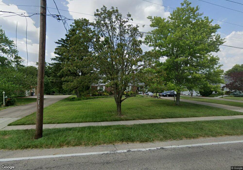
4278 Poole Rd Cincinnati, OH 45251
Northgate NeighborhoodEstimated Value: $281,000 - $341,000
3
Beds
2
Baths
2,365
Sq Ft
$134/Sq Ft
Est. Value
About This Home
This home is located at 4278 Poole Rd, Cincinnati, OH 45251 and is currently estimated at $316,376, approximately $133 per square foot. 4278 Poole Rd is a home located in Hamilton County with nearby schools including Colerain Elementary School, Colerain Middle School, and Colerain High School.
Ownership History
Date
Name
Owned For
Owner Type
Purchase Details
Closed on
Apr 30, 2001
Sold by
Maringer Frank R
Bought by
Keller John A and Keller Tracie M
Current Estimated Value
Purchase Details
Closed on
Apr 25, 2001
Sold by
Maringer George J Tr
Bought by
Keller John A and Keller Tracie M
Purchase Details
Closed on
May 30, 1996
Sold by
Maringer Mary O
Bought by
Maringer Mary O
Create a Home Valuation Report for This Property
The Home Valuation Report is an in-depth analysis detailing your home's value as well as a comparison with similar homes in the area
Home Values in the Area
Average Home Value in this Area
Purchase History
| Date | Buyer | Sale Price | Title Company |
|---|---|---|---|
| Keller John A | $82,500 | L & D Title Agency Inc | |
| Keller John A | $82,500 | L & D Title Agency Inc | |
| Maringer Mary O | -- | -- | |
| Maringer George J | -- | -- |
Source: Public Records
Tax History
| Year | Tax Paid | Tax Assessment Tax Assessment Total Assessment is a certain percentage of the fair market value that is determined by local assessors to be the total taxable value of land and additions on the property. | Land | Improvement |
|---|---|---|---|---|
| 2025 | $5,656 | $97,843 | $20,941 | $76,902 |
| 2024 | $5,260 | $97,843 | $20,941 | $76,902 |
| 2023 | $5,281 | $97,843 | $20,941 | $76,902 |
| 2022 | $4,966 | $75,079 | $20,591 | $54,488 |
| 2021 | $4,934 | $75,079 | $20,591 | $54,488 |
| 2020 | $4,973 | $75,079 | $20,591 | $54,488 |
| 2019 | $4,522 | $63,627 | $17,451 | $46,176 |
| 2018 | $4,058 | $63,627 | $17,451 | $46,176 |
| 2017 | $3,852 | $63,627 | $17,451 | $46,176 |
| 2016 | $3,345 | $54,646 | $17,451 | $37,195 |
| 2015 | $3,375 | $54,646 | $17,451 | $37,195 |
| 2014 | $3,381 | $54,646 | $17,451 | $37,195 |
| 2013 | $3,387 | $57,519 | $18,368 | $39,151 |
Source: Public Records
Map
Nearby Homes
- 9136 Yellowwood Dr
- 8877 Wuest Rd
- 9111 Cobblechase Ct
- 3760 Brockton Dr
- 8530 Wuest Rd
- 8747 Cheviot Rd
- 9125 Round Top Rd
- 3494 Poole Rd
- 5613 Old Blue Rock Rd
- 5658 Springdale Rd
- 3724 Yellowstone Dr
- 3467 Amberway Ct Unit 85
- 9800 Regatta Dr
- 3364 Amberway Ct Unit 45
- 8261 Cheviot Rd
- 3937 Olde Savannah Dr Unit 3937
- 9601 Pebble View Dr
- 4220 Endeavor Dr
- 3970 Olde Savannah Dr
- 3424 Sunbury Ln
- 4246 Poole Rd
- 4316 Poole Rd
- 4216 Poole Rd
- 4360 Poole Rd
- 4305 Poole Rd
- 4265 Poole Rd
- 4335 Poole Rd
- 4180 Poole Rd
- 8980 Wuest Rd
- 4365 Poole Rd
- 4382 Poole Rd
- 4408 Poole Rd
- 4395 Poole Rd
- 4229 Eddystone Dr
- 4217 Eddystone Dr
- 4151 Poole Rd
- 8949 Wuest Rd
- 9103 Yellowwood Dr
- 4205 Eddystone Dr
- 4193 Eddystone Dr
Your Personal Tour Guide
Ask me questions while you tour the home.