42784 Lilley Pointe Dr Unit 183 Canton, MI 48187
Estimated Value: $199,509 - $213,000
2
Beds
2
Baths
987
Sq Ft
$207/Sq Ft
Est. Value
About This Home
This home is located at 42784 Lilley Pointe Dr Unit 183, Canton, MI 48187 and is currently estimated at $204,127, approximately $206 per square foot. 42784 Lilley Pointe Dr Unit 183 is a home located in Wayne County with nearby schools including Canton High School, Discovery Middle School, and Salem High School.
Ownership History
Date
Name
Owned For
Owner Type
Purchase Details
Closed on
Oct 10, 2024
Sold by
Kakumanu Hari K
Bought by
Lax Investments Llc
Current Estimated Value
Home Financials for this Owner
Home Financials are based on the most recent Mortgage that was taken out on this home.
Original Mortgage
$132,650
Outstanding Balance
$131,229
Interest Rate
6.25%
Mortgage Type
New Conventional
Estimated Equity
$72,898
Purchase Details
Closed on
Aug 31, 2022
Sold by
Campbell Nancy O
Bought by
Cox Sarah
Purchase Details
Closed on
May 5, 2011
Sold by
Tinsley James Stuart and Tinsley Frank Michael
Bought by
Campbell Nancy O and Campbell Rosann L
Purchase Details
Closed on
Aug 31, 1994
Sold by
L P Assoc
Bought by
Lilley Pointe Dev Inc
Create a Home Valuation Report for This Property
The Home Valuation Report is an in-depth analysis detailing your home's value as well as a comparison with similar homes in the area
Home Values in the Area
Average Home Value in this Area
Purchase History
| Date | Buyer | Sale Price | Title Company |
|---|---|---|---|
| Lax Investments Llc | -- | First In Service Title Agency | |
| Kakumanu Hari K | $189,500 | First In Service Title Agency | |
| Lax Investments Llc | -- | First In Service Title Agency | |
| Kakumanu Hari K | $189,500 | First In Service Title Agency | |
| Cox Sarah | $130,000 | -- | |
| Campbell Nancy O | $55,000 | Reputation Firsdt Title Agen | |
| Lilley Pointe Dev Inc | $11,754 | -- |
Source: Public Records
Mortgage History
| Date | Status | Borrower | Loan Amount |
|---|---|---|---|
| Open | Kakumanu Hari K | $132,650 | |
| Closed | Kakumanu Hari K | $132,650 |
Source: Public Records
Tax History Compared to Growth
Tax History
| Year | Tax Paid | Tax Assessment Tax Assessment Total Assessment is a certain percentage of the fair market value that is determined by local assessors to be the total taxable value of land and additions on the property. | Land | Improvement |
|---|---|---|---|---|
| 2025 | $1,284 | $82,300 | $0 | $0 |
| 2024 | $1,284 | $73,000 | $0 | $0 |
| 2023 | $1,224 | $67,800 | $0 | $0 |
| 2022 | $1,320 | $58,000 | $0 | $0 |
| 2021 | $1,280 | $56,000 | $0 | $0 |
| 2020 | $1,261 | $53,400 | $0 | $0 |
| 2019 | $1,241 | $48,700 | $0 | $0 |
| 2018 | $464 | $45,580 | $0 | $0 |
| 2017 | $1,374 | $40,800 | $0 | $0 |
| 2016 | $1,604 | $41,200 | $0 | $0 |
| 2015 | $2,552 | $36,060 | $0 | $0 |
| 2013 | $2,472 | $26,920 | $0 | $0 |
| 2010 | -- | $34,300 | $18,000 | $16,300 |
Source: Public Records
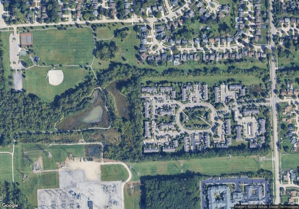
Map
Nearby Homes
- 42771 Lilley Pointe Dr Unit 154
- 42789 Lilley Pointe Dr Unit 146
- 42479 Redfern St
- 42481 Lilley Pointe Dr Unit 33
- 1494 Ranier Blvd
- 407 N Willard Rd
- 1322 Saltz Ct
- 437 Corinne Blvd
- 572 Shana St
- 5887 Northford
- 41878 Ravenwood St
- 44150 Duchess Dr
- 829 Glenulline Dr
- 678 Kings Way
- 1796 Oakview Dr
- 139 Concord Dr
- 603 Concord Dr Unit 67
- 41708 Bedford Dr
- 41715 Bedford Dr
- 550 Concord Dr Unit 75
- 42808 Lilley Pointe Dr
- 42808 Lilley Pointe Dr Unit 193
- 42783 Lilley Pointe Dr
- 42783 Lilley Pointe Dr Unit 147
- 42730 Lilley Pointe Dr
- 42757 Lilley Pointe Dr Unit 159
- 42758 Lilley Pointe Dr
- 42758 Lilley Pointe Dr Unit 162
- 42760 Lilley Pointe Dr
- 42760 Lilley Pointe Dr Unit 15
- 42760 Lilley Pointe Dr Unit 163
- 42756 Lilley Pointe Dr
- 42762 Lilley Pointe Dr
- 42762 Lilley Pointe Dr Unit 164
- 42745 Lilley Pointe Dr
- 42745 Lilley Pointe Dr Unit 11
- 42747 Lilley Pointe Dr
- 42749 Lilley Pointe Dr Unit 70
- 42749 Lilley Pointe Dr
- 42743 Lilley Pointe Dr Unit 121