Estimated Value: $242,000 - $313,663
3
Beds
2
Baths
1,352
Sq Ft
$203/Sq Ft
Est. Value
About This Home
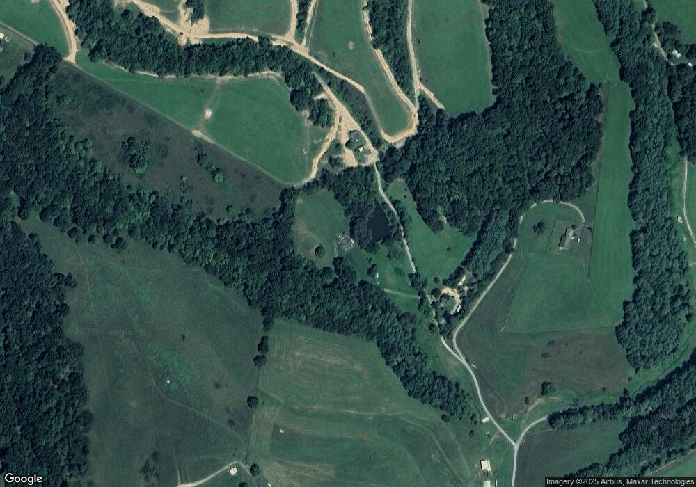
This home is located at 4279 Laburnum Rd, Pilot, VA 24138 and is currently estimated at $274,888, approximately $203 per square foot. 4279 Laburnum Rd is a home located in Montgomery County with nearby schools including Auburn Elementary School, Auburn Middle School, and Auburn High School.
Ownership History
Date
Name
Owned For
Owner Type
Purchase Details
Closed on
Jun 11, 2007
Current Estimated Value
Create a Home Valuation Report for This Property
The Home Valuation Report is an in-depth analysis detailing your home's value as well as a comparison with similar homes in the area
Purchase History
| Date | Buyer | Sale Price | Title Company |
|---|---|---|---|
| -- | -- | -- |
Source: Public Records
Tax History
| Year | Tax Paid | Tax Assessment Tax Assessment Total Assessment is a certain percentage of the fair market value that is determined by local assessors to be the total taxable value of land and additions on the property. | Land | Improvement |
|---|---|---|---|---|
| 2025 | $1,602 | $210,800 | $72,100 | $138,700 |
| 2024 | $1,581 | $210,800 | $72,100 | $138,700 |
| 2023 | $1,476 | $210,800 | $72,100 | $138,700 |
| 2022 | $1,614 | $181,300 | $72,100 | $109,200 |
| 2021 | $1,614 | $181,300 | $72,100 | $109,200 |
| 2020 | $1,614 | $181,300 | $72,100 | $109,200 |
| 2019 | $1,614 | $181,300 | $72,100 | $109,200 |
| 2018 | $1,599 | $179,700 | $77,100 | $102,600 |
| 2017 | $1,599 | $179,700 | $77,100 | $102,600 |
| 2016 | $1,599 | $179,700 | $77,100 | $102,600 |
| 2015 | $1,599 | $179,700 | $77,100 | $102,600 |
| 2014 | $1,559 | $175,200 | $77,100 | $98,100 |
Source: Public Records
Map
Nearby Homes
- 571 Cary Rd
- 3775 Sunflower Rd
- 3735 Sunflower Rd
- 5320 Brush Creek Rd
- 1212 Eagle View Dr NE
- 0 Pilot Rd Unit 923409
- 268 Declaration Ln
- 133 Wonder Way NE
- 2944 Pilot Rd
- 0 Laurel Creek Rd NE
- 380 Laurel Creek Rd NE
- 4414 Daniels Run Rd NE
- TBD Pilot Rd
- 0 Sowers Mill Dam Rd NE
- 2822 Huffville Rd
- 1490 Red Hawk Run
- 6058 Riner Rd
- 60 Overland Dr
- 621 Wild Cherry Rd NE
- 595 Wild Cherry Rd NE
- 4304 Laburnum Rd
- 4318 Laburnum Rd
- 4237 Laburnum Rd
- 872 High Rock Hill Rd
- 4247 Nectarine Dr
- 4900 Pilot Rd
- 858 High Rock Hill Rd
- 5044 Pilot Rd
- 5016 Pilot Rd
- 4910 Pilot Rd
- 4268 Nectarine Dr
- 4369 Old Pike Rd
- 4992 Pilot Rd
- 4394 Old Pike Rd
- 4410 Brush Creek Rd
- 4712 Pilot Rd
- 4954 Pilot Rd
- 1040 High Rock Hill Rd
- 986 Boulder Ln
- 4972 Pilot Rd
Your Personal Tour Guide
Ask me questions while you tour the home.
