Estimated Value: $327,000 - $487,536
3
Beds
3
Baths
2,902
Sq Ft
$142/Sq Ft
Est. Value
About This Home
This home is located at 4279 Upper River Rd, Gray, GA 31032 and is currently estimated at $411,634, approximately $141 per square foot. 4279 Upper River Rd is a home located in Jones County with nearby schools including Dames Ferry Elementary School, Clifton Ridge Middle School, and Jones County High School.
Ownership History
Date
Name
Owned For
Owner Type
Purchase Details
Closed on
Mar 7, 2006
Sold by
Not Provided
Bought by
Sims P Matthew
Current Estimated Value
Purchase Details
Closed on
Apr 16, 2004
Sold by
Fowler James D and Fowler Peg
Bought by
Doster Daniel L and Doster Lea S
Purchase Details
Closed on
May 12, 1999
Bought by
Fowler James D and Fowler Peg
Create a Home Valuation Report for This Property
The Home Valuation Report is an in-depth analysis detailing your home's value as well as a comparison with similar homes in the area
Home Values in the Area
Average Home Value in this Area
Purchase History
| Date | Buyer | Sale Price | Title Company |
|---|---|---|---|
| Sims P Matthew | -- | -- | |
| Doster Daniel L | $30,000 | -- | |
| Fowler James D | $23,300 | -- |
Source: Public Records
Tax History
| Year | Tax Paid | Tax Assessment Tax Assessment Total Assessment is a certain percentage of the fair market value that is determined by local assessors to be the total taxable value of land and additions on the property. | Land | Improvement |
|---|---|---|---|---|
| 2025 | $6,049 | $188,103 | $31,793 | $156,310 |
| 2023 | $3,894 | $130,406 | $24,456 | $105,950 |
| 2022 | $4,400 | $126,168 | $24,456 | $101,712 |
| 2021 | $4,404 | $126,168 | $24,456 | $101,712 |
| 2020 | $4,407 | $126,168 | $24,456 | $101,712 |
| 2019 | $4,407 | $126,168 | $24,456 | $101,712 |
| 2018 | $4,407 | $126,168 | $24,456 | $101,712 |
| 2017 | $4,407 | $126,168 | $24,456 | $101,712 |
| 2016 | $4,407 | $126,168 | $24,456 | $101,712 |
| 2015 | $4,165 | $126,168 | $24,456 | $101,712 |
| 2014 | $3,841 | $126,168 | $24,456 | $101,712 |
Source: Public Records
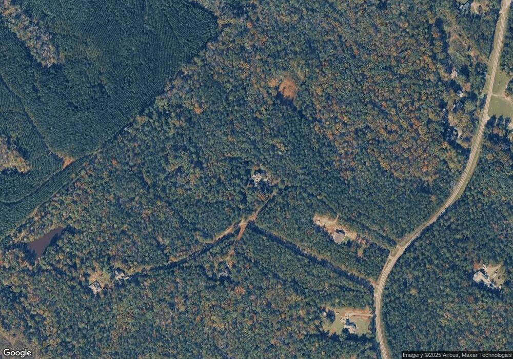
Map
Nearby Homes
- 4255 Upper River Rd
- 4156 Upper River Rd
- 4156 Upper River Rd Unit LOT 15 &16
- 4156 Upper River (Lots 15 & 16) Rd
- 377 Plentitude Church Rd
- 238 Brittany Ln
- 4477 Rivercliff Way
- 4481 Rivercliff Way
- 4450 Rivercliff Way
- 281 River Blvd N
- 159 River North Blvd
- 279 River North Blvd
- 161 Fairway Cir
- 616 Whispering Pines Dr
- 214 River North Cir
- 417 Lakeview Place
- 363 River North Blvd
- 326 Wimbledon Ct
- 124 Coppergate Ln
- 432 River North Blvd
- 4275 Upper River Rd
- 4267 Upper River Rd
- 4271 Upper River Rd
- 4261 Upper River Rd
- 4313 Upper River Rd
- 4296 Upper River Rd
- 4243 Upper River Rd
- 163 N Valley Dr
- 190 Rifle Range Rd
- 4347 Upper River Rd Unit Tract A
- 4347 Upper River Rd Unit TR A
- 166 Rifle Range Rd
- 4237 Upper River Rd
- 158 Rifle Range Rd
- 147 Lois Cir
- 174 Rifle Range Rd
- 152 Rifle Range Rd
- 184 Rifle Range Rd
- 4361 Upper River Rd
- 4231 Upper River Rd
Your Personal Tour Guide
Ask me questions while you tour the home.