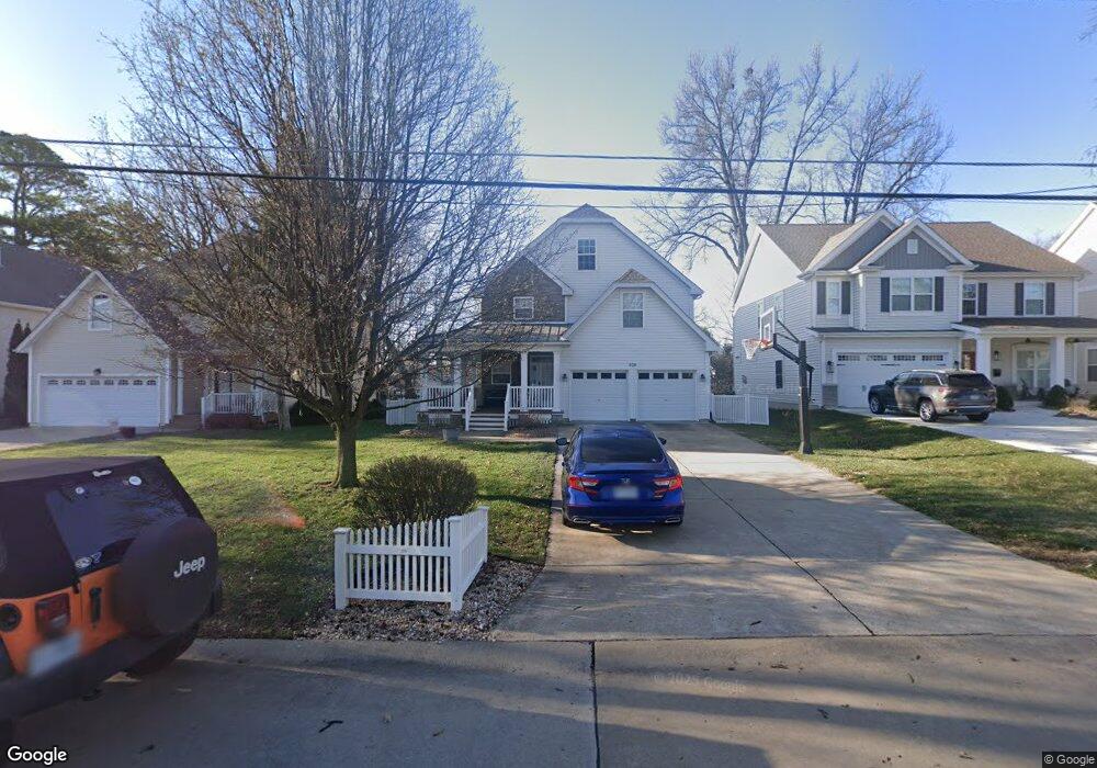
428 Bacon Ave Saint Louis, MO 63119
Estimated Value: $777,571 - $956,000
4
Beds
3
Baths
3,096
Sq Ft
$270/Sq Ft
Est. Value
About This Home
This home is located at 428 Bacon Ave, Saint Louis, MO 63119 and is currently estimated at $836,893, approximately $270 per square foot. 428 Bacon Ave is a home located in St. Louis County with nearby schools including Bristol Elementary School, Hixson Middle School, and Webster Groves High School.
Ownership History
Date
Name
Owned For
Owner Type
Purchase Details
Closed on
Sep 27, 2010
Sold by
Sullivan Kevin Dennis and Sullivan Sarah Katherine
Bought by
Sullivan Kevin Dennis and Sullivan Sarah Katharine
Current Estimated Value
Purchase Details
Closed on
Jan 24, 2005
Sold by
Highland Homes Of St Louis Inc
Bought by
Sullivan Kevin Dennis and Sullivan Sarah Katherine
Home Financials for this Owner
Home Financials are based on the most recent Mortgage that was taken out on this home.
Original Mortgage
$330,000
Interest Rate
5.37%
Mortgage Type
Purchase Money Mortgage
Purchase Details
Closed on
Mar 26, 2004
Sold by
Baker Sharon and Baker Robert
Bought by
Highland Development Co
Home Financials for this Owner
Home Financials are based on the most recent Mortgage that was taken out on this home.
Original Mortgage
$336,000
Interest Rate
5.59%
Mortgage Type
Construction
Create a Home Valuation Report for This Property
The Home Valuation Report is an in-depth analysis detailing your home's value as well as a comparison with similar homes in the area
Home Values in the Area
Average Home Value in this Area
Purchase History
| Date | Buyer | Sale Price | Title Company |
|---|---|---|---|
| Sullivan Kevin Dennis | -- | Multiple | |
| Sullivan Kevin Dennis | $447,598 | -- | |
| Highland Homes Of St Louis Inc | -- | -- | |
| Highland Development Co | $127,000 | -- |
Source: Public Records
Mortgage History
| Date | Status | Borrower | Loan Amount |
|---|---|---|---|
| Previous Owner | Sullivan Kevin Dennis | $330,000 | |
| Previous Owner | Highland Development Co | $336,000 | |
| Closed | Sullivan Kevin Dennis | $72,800 |
Source: Public Records
Tax History
| Year | Tax Paid | Tax Assessment Tax Assessment Total Assessment is a certain percentage of the fair market value that is determined by local assessors to be the total taxable value of land and additions on the property. | Land | Improvement |
|---|---|---|---|---|
| 2025 | $8,476 | $156,600 | $51,780 | $104,820 |
| 2024 | $8,476 | $122,230 | $43,130 | $79,100 |
| 2023 | $8,434 | $122,230 | $43,130 | $79,100 |
| 2022 | $7,569 | $101,810 | $31,070 | $70,740 |
| 2021 | $7,543 | $101,810 | $31,070 | $70,740 |
| 2020 | $8,456 | $106,410 | $31,070 | $75,340 |
| 2019 | $8,395 | $106,410 | $31,070 | $75,340 |
| 2018 | $7,834 | $88,160 | $24,170 | $63,990 |
| 2017 | $7,782 | $88,160 | $24,170 | $63,990 |
| 2016 | $6,367 | $68,930 | $17,250 | $51,680 |
Source: Public Records
Map
Nearby Homes
- 500 Bacon Ave
- 433 Bismark Ave
- 519 Bismark Ave
- 404 W Kirkham Ave
- 619 N Rock Hill Rd
- 10 Barbre Ct
- 9840 Madison Ave
- 810 N Rock Hill Rd
- 7 Barbre Ct
- 739 Glenvista Place
- 112 W Thornton Ave
- 901 Ennis Ave
- 789 Glenvista Place
- 203 Almentor Ave
- 112 Oakwood Ave
- 725 Cornell Ave
- 900 N Elm Ave
- 815 Cornell Ave
- 9816 Obrien Ct
- 18 Southridge Dr
Your Personal Tour Guide
Ask me questions while you tour the home.