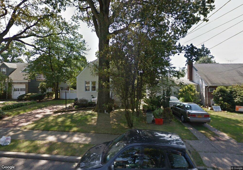
428 Birch St West Hempstead, NY 11552
Estimated Value: $742,000 - $797,788
3
Beds
3
Baths
6,000
Sq Ft
$128/Sq Ft
Est. Value
About This Home
This home is located at 428 Birch St, West Hempstead, NY 11552 and is currently estimated at $769,894, approximately $128 per square foot. 428 Birch St is a home located in Nassau County with nearby schools including Chestnut Street School, West Hempstead Middle School, and West Hempstead Secondary School.
Ownership History
Date
Name
Owned For
Owner Type
Purchase Details
Closed on
Jan 22, 2015
Sold by
Dechristopher Rose
Bought by
Marks Arthur
Current Estimated Value
Home Financials for this Owner
Home Financials are based on the most recent Mortgage that was taken out on this home.
Original Mortgage
$272,000
Outstanding Balance
$208,340
Interest Rate
3.84%
Mortgage Type
New Conventional
Estimated Equity
$561,554
Purchase Details
Closed on
Mar 20, 2011
Sold by
De Christopher Rose and Brown Joan
Bought by
Dechristopher Rose
Create a Home Valuation Report for This Property
The Home Valuation Report is an in-depth analysis detailing your home's value as well as a comparison with similar homes in the area
Home Values in the Area
Average Home Value in this Area
Purchase History
| Date | Buyer | Sale Price | Title Company |
|---|---|---|---|
| Marks Arthur | $340,000 | None Available | |
| Dechristopher Rose | -- | -- |
Source: Public Records
Mortgage History
| Date | Status | Borrower | Loan Amount |
|---|---|---|---|
| Open | Marks Arthur | $272,000 |
Source: Public Records
Tax History
| Year | Tax Paid | Tax Assessment Tax Assessment Total Assessment is a certain percentage of the fair market value that is determined by local assessors to be the total taxable value of land and additions on the property. | Land | Improvement |
|---|---|---|---|---|
| 2025 | $12,486 | $487 | $227 | $260 |
| 2024 | $4,023 | $521 | $243 | $278 |
Source: Public Records
Map
Nearby Homes
- 447 Chestnut St
- 369 Woodfield Rd
- 240 Woodfield Rd
- 218 Colony St
- 352 Hempstead Ave
- 218 Woodlawn Rd
- 523 Cedar St
- 106 Sycamore St
- 590 Langley Ave
- 321 Oakford St
- 179 Fairlawn Ave
- 412 Coolidge St
- 635 Hempstead Ave
- 618 Jennings Ave
- 647 Jennings Ave
- 126 Oakland Ave
- 26 Sycamore St
- 629 Park Ave
- 170 Ivy St
- 140 Long Dr
Your Personal Tour Guide
Ask me questions while you tour the home.