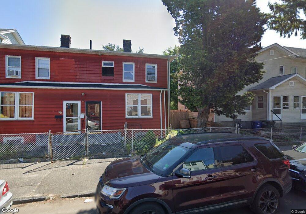
428 Carroll Ave Unit 430 Bridgeport, CT 06607
East End NeighborhoodEstimated Value: $347,828 - $438,000
6
Beds
3
Baths
2,248
Sq Ft
$177/Sq Ft
Est. Value
About This Home
This home is located at 428 Carroll Ave Unit 430, Bridgeport, CT 06607 and is currently estimated at $398,707, approximately $177 per square foot. 428 Carroll Ave Unit 430 is a home located in Fairfield County with nearby schools including Jettie S. Tisdale School, Harding High School, and Capital Prep Harbor Upper School.
Ownership History
Date
Name
Owned For
Owner Type
Purchase Details
Closed on
Jul 10, 2006
Sold by
Gudiez Neptor and Gudiez Maria
Bought by
Batista David and Batista Carmen
Current Estimated Value
Home Financials for this Owner
Home Financials are based on the most recent Mortgage that was taken out on this home.
Original Mortgage
$218,400
Outstanding Balance
$129,300
Interest Rate
6.6%
Estimated Equity
$269,407
Create a Home Valuation Report for This Property
The Home Valuation Report is an in-depth analysis detailing your home's value as well as a comparison with similar homes in the area
Home Values in the Area
Average Home Value in this Area
Purchase History
| Date | Buyer | Sale Price | Title Company |
|---|---|---|---|
| Batista David | $273,000 | -- | |
| Batista David | $273,000 | -- |
Source: Public Records
Mortgage History
| Date | Status | Borrower | Loan Amount |
|---|---|---|---|
| Open | Batista David | $218,400 | |
| Closed | Batista David | $54,600 | |
| Closed | Batista David | $218,400 | |
| Previous Owner | Batista David | $176,863 |
Source: Public Records
Tax History
| Year | Tax Paid | Tax Assessment Tax Assessment Total Assessment is a certain percentage of the fair market value that is determined by local assessors to be the total taxable value of land and additions on the property. | Land | Improvement |
|---|---|---|---|---|
| 2025 | $4,932 | $113,520 | $34,690 | $78,830 |
| 2024 | $4,932 | $113,520 | $34,690 | $78,830 |
| 2023 | $4,932 | $113,520 | $34,690 | $78,830 |
| 2022 | $4,932 | $113,520 | $34,690 | $78,830 |
| 2021 | $4,932 | $113,520 | $34,690 | $78,830 |
| 2020 | $5,526 | $102,360 | $19,400 | $82,960 |
| 2019 | $5,526 | $102,360 | $19,400 | $82,960 |
| 2018 | $5,565 | $102,360 | $19,400 | $82,960 |
| 2017 | $5,565 | $102,360 | $19,400 | $82,960 |
| 2016 | $5,565 | $102,360 | $19,400 | $82,960 |
| 2015 | $6,108 | $144,750 | $33,260 | $111,490 |
| 2014 | $6,108 | $144,750 | $33,260 | $111,490 |
Source: Public Records
Map
Nearby Homes
- 363 Carroll Ave Unit 365
- 306 Carroll Ave
- 1440 Stratford Ave
- 464 Wilmot Ave
- 643 Newfield Ave Unit 645
- 102 Carroll Ave
- 98 Carroll Ave Unit 100
- 10 Ordnance Ct Unit 3
- 537 Hollister Ave
- 239 Beardsley St Unit 241
- 202 Hewitt St
- 40 5th St
- 93 Clifford St
- 180 Read St
- 221 Bunnell St
- 1034 Connecticut Ave
- 384 Connecticut Ave Unit 386
- 179 4th St
- 188 Holly St
- 68 Edwin St Unit 70
- 420 Carroll Ave
- 410 Carroll Ave
- 418 Carroll Ave
- 442-446 Carroll Ave
- 442 Carroll Ave Unit 446
- 442 Carroll Ave Unit 2
- 442 Carroll Ave Unit 1
- 412 Carroll Ave Unit 3rd F
- 412 Carroll Ave
- 431 Carroll Ave Unit 437
- 408 Carroll Ave Unit 410
- 398 Carroll Ave Unit 400
- 415 Carroll Ave
- 405 Carroll Ave
- 25 Wilmot Place
- 1376 Stratford Ave
- 1388 Stratford Ave
- 390 Carroll Ave
- 395 Carroll Ave Unit 397
- 1390 Stratford Ave
Your Personal Tour Guide
Ask me questions while you tour the home.