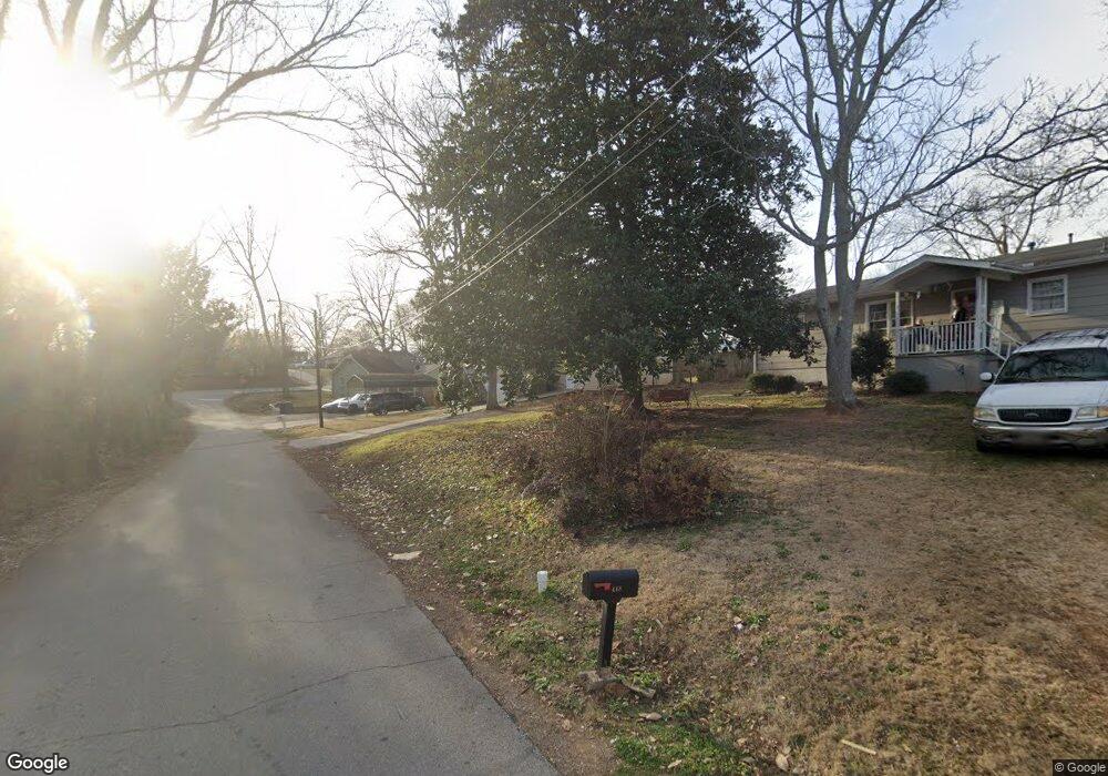
428 Charles St Buford, GA 30518
Estimated Value: $320,000 - $357,000
3
Beds
2
Baths
1,252
Sq Ft
$273/Sq Ft
Est. Value
About This Home
This home is located at 428 Charles St, Buford, GA 30518 and is currently estimated at $342,258, approximately $273 per square foot. 428 Charles St is a home located in Gwinnett County with nearby schools including Buford Elementary School, Buford Senior Academy, and Buford Academy.
Ownership History
Date
Name
Owned For
Owner Type
Purchase Details
Closed on
Apr 19, 2021
Sold by
Mccullough Jackie
Bought by
Mccullough Jackie and Mccullough Melessa Wells
Current Estimated Value
Home Financials for this Owner
Home Financials are based on the most recent Mortgage that was taken out on this home.
Original Mortgage
$142,000
Outstanding Balance
$127,931
Interest Rate
3%
Mortgage Type
New Conventional
Estimated Equity
$214,327
Purchase Details
Closed on
Sep 18, 1996
Sold by
Wood Bonnie K Dwayne K
Bought by
Mccullough Jackie
Create a Home Valuation Report for This Property
The Home Valuation Report is an in-depth analysis detailing your home's value as well as a comparison with similar homes in the area
Home Values in the Area
Average Home Value in this Area
Purchase History
| Date | Buyer | Sale Price | Title Company |
|---|---|---|---|
| Mccullough Jackie | -- | -- | |
| Mccullough Jackie | $72,900 | -- |
Source: Public Records
Mortgage History
| Date | Status | Borrower | Loan Amount |
|---|---|---|---|
| Open | Mccullough Jackie | $142,000 | |
| Closed | Mccullough Jackie | $0 |
Source: Public Records
Tax History Compared to Growth
Tax History
| Year | Tax Paid | Tax Assessment Tax Assessment Total Assessment is a certain percentage of the fair market value that is determined by local assessors to be the total taxable value of land and additions on the property. | Land | Improvement |
|---|---|---|---|---|
| 2025 | $321 | $121,080 | $40,000 | $81,080 |
| 2024 | $321 | $120,520 | $33,600 | $86,920 |
| 2023 | $321 | $93,720 | $26,000 | $67,720 |
| 2022 | $321 | $93,720 | $26,000 | $67,720 |
| 2021 | $321 | $56,440 | $16,800 | $39,640 |
| 2020 | $321 | $56,440 | $16,800 | $39,640 |
| 2019 | $290 | $56,440 | $16,800 | $39,640 |
| 2018 | $288 | $32,000 | $5,600 | $26,400 |
| 2016 | $287 | $32,000 | $5,600 | $26,400 |
| 2015 | $298 | $32,000 | $5,600 | $26,400 |
| 2014 | $276 | $30,000 | $5,600 | $24,400 |
Source: Public Records
Map
Nearby Homes
- 4817 Cooper Farm Dr
- 489 Williams St
- 480 S Hill St
- 2051 Harvester Ln
- 449 S Hill St
- 5065 Cooper Farm Dr
- 4933 Greenard Watson Ln
- 4942 Greenard Watson Ln
- 401 Pirkle Ave
- 408 Bona Rd
- 2255 Buford Hwy
- 2255 Buford Hwy
- 460 Espy St
- 21 Buford Village Walk
- 304 E Jackson St
- 185 Scott St
- 3 Buford Village Walk
- 25 Morgan St
- 27 Morgan St
- 448 Charles St
- 430 Power Ave
- 500 Power Ave
- 429 Williams St
- 1971 Grand Lanier Dr
- 501 Cooper Farm Way
- 4898 Mountain Rose Walk
- 5036 Cooper Farm Dr
- 5006 Cooper Farm Dr
- 1970 Grand Lanier Dr
- 491 Cooper Farm Way
- 1921 Grand Lanier Dr
- 1840 Grand Lanier Dr
- 1900 Grand Lanier Dr
- 4839 Mountain Rose Walk
- 1960 Grand Lanier Dr
- 1910 Grand Lanier Dr
- 490 Cooper Farm Way
- 481 Cooper Farm Way
- 1950 Grand Lanier Dr