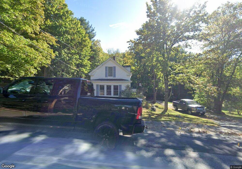
428 Chicopee Row Groton, MA 01450
Estimated Value: $408,000 - $578,000
1
Bed
1
Bath
1,374
Sq Ft
$356/Sq Ft
Est. Value
About This Home
This home is located at 428 Chicopee Row, Groton, MA 01450 and is currently estimated at $488,497, approximately $355 per square foot. 428 Chicopee Row is a home located in Middlesex County with nearby schools including Groton Dunstable Regional High School, Groton Community School, and Seven Hills At Groton.
Ownership History
Date
Name
Owned For
Owner Type
Purchase Details
Closed on
May 21, 1987
Sold by
Moen David
Bought by
Moen David
Current Estimated Value
Home Financials for this Owner
Home Financials are based on the most recent Mortgage that was taken out on this home.
Original Mortgage
$105,000
Interest Rate
9.48%
Mortgage Type
Purchase Money Mortgage
Create a Home Valuation Report for This Property
The Home Valuation Report is an in-depth analysis detailing your home's value as well as a comparison with similar homes in the area
Home Values in the Area
Average Home Value in this Area
Purchase History
| Date | Buyer | Sale Price | Title Company |
|---|---|---|---|
| Moen David | $45,000 | -- |
Source: Public Records
Mortgage History
| Date | Status | Borrower | Loan Amount |
|---|---|---|---|
| Open | Moen David | $25,000 | |
| Open | Moen David | $94,000 | |
| Closed | Moen David | $20,000 | |
| Closed | Moen David | $105,000 |
Source: Public Records
Tax History
| Year | Tax Paid | Tax Assessment Tax Assessment Total Assessment is a certain percentage of the fair market value that is determined by local assessors to be the total taxable value of land and additions on the property. | Land | Improvement |
|---|---|---|---|---|
| 2025 | $6,185 | $405,600 | $203,300 | $202,300 |
| 2024 | $5,704 | $378,000 | $203,300 | $174,700 |
| 2023 | $5,740 | $367,000 | $203,300 | $163,700 |
| 2022 | $5,597 | $325,600 | $174,800 | $150,800 |
| 2021 | $5,148 | $292,500 | $168,500 | $124,000 |
| 2020 | $4,781 | $275,100 | $166,800 | $108,300 |
| 2019 | $4,882 | $269,600 | $165,100 | $104,500 |
| 2018 | $4,710 | $252,300 | $161,700 | $90,600 |
| 2017 | $4,497 | $246,300 | $160,000 | $86,300 |
| 2016 | $4,456 | $237,300 | $155,400 | $81,900 |
| 2015 | $4,335 | $237,300 | $155,400 | $81,900 |
Source: Public Records
Map
Nearby Homes
- 91 Chicopee Row
- 31 Sawtell Dr
- 53 Mclains Woods Rd
- 1 Nashua Rd
- 179 Wyman Rd
- 41 Martins Pond Rd
- 208 North St
- 235 Kemp St
- 0 Old Dunstable Rd
- 16 Hayes Woods Ln
- 20 Hayes Woods Ln
- 114 Groton St
- 2 Wildflower Ln
- 95 Lost Lake Dr
- 228 Main St
- 44 Nod Rd
- 10 Bennett St
- 29 Tarbell St
- 142 River Rd
- 38 Tarbell St Unit 5B
- Lot Chicopee Row
- 408 Chicopee Row
- 444 Chicopee Row
- 435 Chicopee Row
- 20 Watson Way
- 448 Chicopee Row
- 400 Chicopee Row
- 439 Chicopee Row
- 40 Watson Way
- 397 Chicopee Row
- 388 Chicopee Row
- 459 Chicopee Row
- 474 Chicopee Row
- 48 Watson Way
- 449 Chicopee Row
- 382 Chicopee Row
- 54 Watson Way
- 471 Chicopee Row
- 402 Chicopee Row
- 25 Fertiledale Dr
Your Personal Tour Guide
Ask me questions while you tour the home.