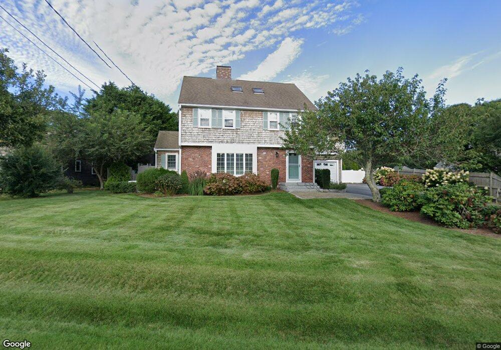
428 Depot St Dennis Port, MA 02639
Dennis Port NeighborhoodEstimated Value: $758,000 - $876,000
4
Beds
3
Baths
1,984
Sq Ft
$423/Sq Ft
Est. Value
About This Home
This home is located at 428 Depot St, Dennis Port, MA 02639 and is currently estimated at $838,418, approximately $422 per square foot. 428 Depot St is a home located in Barnstable County with nearby schools including Dennis-Yarmouth Regional High School and St. Pius X. School.
Create a Home Valuation Report for This Property
The Home Valuation Report is an in-depth analysis detailing your home's value as well as a comparison with similar homes in the area
Home Values in the Area
Average Home Value in this Area
Tax History Compared to Growth
Tax History
| Year | Tax Paid | Tax Assessment Tax Assessment Total Assessment is a certain percentage of the fair market value that is determined by local assessors to be the total taxable value of land and additions on the property. | Land | Improvement |
|---|---|---|---|---|
| 2025 | $3,119 | $720,400 | $173,000 | $547,400 |
| 2024 | $3,198 | $728,500 | $166,300 | $562,200 |
| 2023 | $3,095 | $662,800 | $151,200 | $511,600 |
| 2022 | $2,912 | $520,000 | $136,200 | $383,800 |
| 2021 | $2,753 | $456,500 | $133,500 | $323,000 |
| 2020 | $2,505 | $410,600 | $120,200 | $290,400 |
| 2019 | $2,477 | $401,400 | $117,800 | $283,600 |
| 2018 | $2,266 | $357,400 | $112,200 | $245,200 |
| 2017 | $2,198 | $357,400 | $112,200 | $245,200 |
| 2016 | $2,139 | $327,600 | $124,600 | $203,000 |
| 2015 | $2,044 | $319,300 | $124,600 | $194,700 |
| 2014 | $1,953 | $307,500 | $99,700 | $207,800 |
Source: Public Records
Map
Nearby Homes
- 11 Lane Rd
- 91 Depot Rd W
- 537 Depot St
- 24 Indian Trail
- 78 Upper County Rd Unit A&B
- 78 Upper County Rd
- 141 Division St
- 9 Country Ln
- 141 Division St
- 47 Telegraph Rd Unit 1
- 360 Center St
- 171 Searsville Rd
- 116 Searsville Rd
- 9 Bells Neck Rd Unit 10
- 20 Aunt Debbys Rd
- 12 Candlewood Ln Unit 2-9
- 12 Candlewood Ln Unit 1-6
- 10 Candlewood Ln Unit 2-1
- 45 Route 28
- 9 Mansion St