Estimated Value: $285,755 - $311,000
1
Bed
2
Baths
1,776
Sq Ft
$169/Sq Ft
Est. Value
About This Home
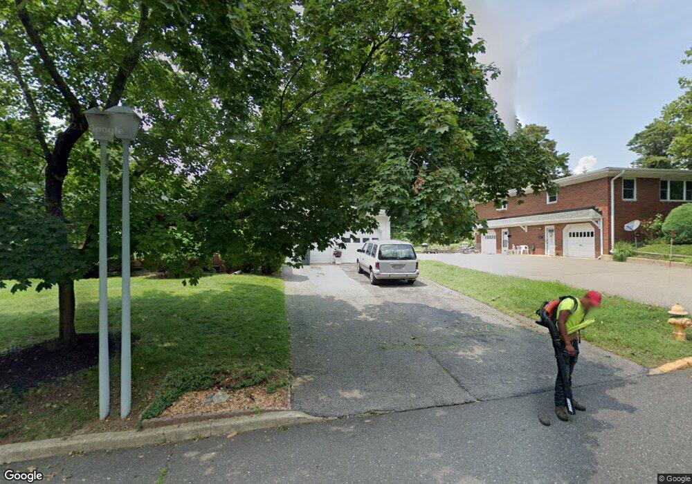
This home is located at 428 Laurel Brook Dr Unit B, Brick, NJ 08724 and is currently estimated at $299,939, approximately $168 per square foot. 428 Laurel Brook Dr Unit B is a home located in Ocean County with nearby schools including Emma Havens Young Elementary School, Lake Riviera Middle School, and Brick Township High School.
Ownership History
Date
Name
Owned For
Owner Type
Purchase Details
Closed on
Jan 15, 2020
Sold by
Leary Nohemi
Bought by
Prince Marybeth A
Current Estimated Value
Home Financials for this Owner
Home Financials are based on the most recent Mortgage that was taken out on this home.
Original Mortgage
$169,750
Outstanding Balance
$150,384
Interest Rate
3.74%
Mortgage Type
New Conventional
Estimated Equity
$149,555
Purchase Details
Closed on
Jul 25, 1990
Bought by
Leary Nohemi
Create a Home Valuation Report for This Property
The Home Valuation Report is an in-depth analysis detailing your home's value as well as a comparison with similar homes in the area
Home Values in the Area
Average Home Value in this Area
Purchase History
| Date | Buyer | Sale Price | Title Company |
|---|---|---|---|
| Prince Marybeth A | $175,000 | Anchor Title Agency Llc | |
| Leary Nohemi | $86,000 | -- |
Source: Public Records
Mortgage History
| Date | Status | Borrower | Loan Amount |
|---|---|---|---|
| Open | Prince Marybeth A | $169,750 |
Source: Public Records
Tax History
| Year | Tax Paid | Tax Assessment Tax Assessment Total Assessment is a certain percentage of the fair market value that is determined by local assessors to be the total taxable value of land and additions on the property. | Land | Improvement |
|---|---|---|---|---|
| 2025 | $3,463 | $132,700 | $75,000 | $57,700 |
| 2024 | $3,287 | $132,700 | $75,000 | $57,700 |
| 2023 | $3,239 | $132,700 | $75,000 | $57,700 |
| 2022 | $3,239 | $132,700 | $75,000 | $57,700 |
| 2021 | $2,920 | $132,700 | $75,000 | $57,700 |
| 2020 | $3,130 | $132,700 | $75,000 | $57,700 |
| 2019 | $3,075 | $132,700 | $75,000 | $57,700 |
| 2018 | $3,004 | $132,700 | $75,000 | $57,700 |
| 2017 | $2,923 | $132,700 | $75,000 | $57,700 |
| 2016 | $3,453 | $157,600 | $85,000 | $72,600 |
| 2015 | $3,363 | $157,600 | $85,000 | $72,600 |
| 2014 | $3,335 | $157,600 | $85,000 | $72,600 |
Source: Public Records
Map
Nearby Homes
- 12 D Trail
- 6B Court M Unit 5902
- 470A Laurel Brook Dr Unit 4401
- 470 Laurel Brook Dr
- 1595 Forge Pond Rd
- 1635 Forge Pond Rd
- 6 Lisa Dr
- 1651 Forge Pond Rd
- 1648 Harvard Ave
- 1418 Forest Ave
- 42 Sidney Ct
- 55 Tony Ct
- 37 Central Blvd
- 39 Marlow Ave
- 802 Sandra Place
- 159 Clay Cir
- 201 Blake Cir
- 20 Lamb Rd
- 203 Blake Cir
- 25 Whitman St
- 428 Laurel Brook Dr Unit D
- 428 Laurel Brook Dr Unit C
- 428 Laurel Brook Dr Unit A
- 428c Laurel Brook Dr Unit 1703
- 428b Laurel Brook Dr Unit 1702
- 428d Laurel Brook Dr Unit 1704
- 432 Laurel Brook Dr Unit C
- 432 Laurel Brook Dr Unit D
- 432 Laurel Brook Dr Unit B
- 432 Laurel Brook Dr Unit A
- 429 Laurel Brook Dr Unit B
- 429A Laurel Brook Dr Unit 20A
- 429B Laurel Brook Dr Unit 20B
- 40C Court d
- 40C Court d Unit 2003
- 433D Laurel Brook Dr Unit 19D
- 40D Court d Unit D
- 40D Court d
- 425D Laurel Brook Dr
- 41A Court d
Your Personal Tour Guide
Ask me questions while you tour the home.