428 N 1050 E Unit 9 American Fork, UT 84003
Estimated Value: $582,000 - $599,000
3
Beds
3
Baths
3,012
Sq Ft
$197/Sq Ft
Est. Value
About This Home
This home is located at 428 N 1050 E Unit 9, American Fork, UT 84003 and is currently estimated at $592,747, approximately $196 per square foot. 428 N 1050 E Unit 9 is a home located in Utah County with nearby schools including Barratt Elementary School, American Fork Junior High School, and American Fork High School.
Ownership History
Date
Name
Owned For
Owner Type
Purchase Details
Closed on
Aug 13, 2024
Sold by
Hatch Matthew and Hatch Teri
Bought by
Matthew And Teri Hatch Living Trust and Hatch
Current Estimated Value
Purchase Details
Closed on
Apr 28, 2022
Sold by
Jay And Arnell Atwood Family Living Trus
Bought by
Hatch Matthew and Hatch Teri
Home Financials for this Owner
Home Financials are based on the most recent Mortgage that was taken out on this home.
Original Mortgage
$330,000
Interest Rate
4.4%
Mortgage Type
New Conventional
Purchase Details
Closed on
Dec 30, 2021
Sold by
Arnell Atwood
Bought by
Jay And Arnell Atwood Family Living Trust
Purchase Details
Closed on
Jun 3, 2019
Sold by
Lynscot Ventures Llc
Bought by
Atwood Jay and Atwood Arnel
Purchase Details
Closed on
Dec 9, 2004
Sold by
Miller A F Associates Lc
Bought by
Lynscot Ventures Llc
Create a Home Valuation Report for This Property
The Home Valuation Report is an in-depth analysis detailing your home's value as well as a comparison with similar homes in the area
Home Values in the Area
Average Home Value in this Area
Purchase History
| Date | Buyer | Sale Price | Title Company |
|---|---|---|---|
| Matthew And Teri Hatch Living Trust | -- | None Listed On Document | |
| Hatch Matthew | -- | Monument Title | |
| Jay And Arnell Atwood Family Living Trust | -- | Monument Title | |
| Atwood Jay | -- | Title One | |
| Lynscot Ventures Llc | -- | Equity Title Agency Inc |
Source: Public Records
Mortgage History
| Date | Status | Borrower | Loan Amount |
|---|---|---|---|
| Previous Owner | Hatch Matthew | $330,000 |
Source: Public Records
Tax History
| Year | Tax Paid | Tax Assessment Tax Assessment Total Assessment is a certain percentage of the fair market value that is determined by local assessors to be the total taxable value of land and additions on the property. | Land | Improvement |
|---|---|---|---|---|
| 2025 | $2,678 | $300,410 | -- | -- |
| 2024 | $2,678 | $297,550 | $0 | $0 |
| 2023 | $2,519 | $296,725 | $0 | $0 |
| 2022 | $2,415 | $280,775 | $0 | $0 |
| 2021 | $2,163 | $392,700 | $100,000 | $292,700 |
| 2020 | $2,104 | $467,700 | $100,000 | $367,700 |
| 2019 | $1,729 | $314,900 | $100,000 | $214,900 |
| 2018 | $1,808 | $314,900 | $100,000 | $214,900 |
| 2017 | $1,591 | $149,545 | $0 | $0 |
| 2016 | $1,536 | $134,145 | $0 | $0 |
| 2015 | $1,560 | $129,250 | $0 | $0 |
| 2014 | $1,440 | $117,700 | $0 | $0 |
Source: Public Records
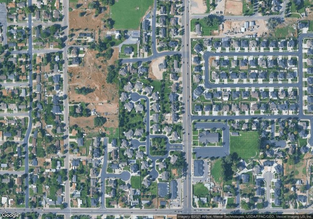
Map
Nearby Homes
- 428 N 1050 E
- 432 N 1050 E
- 432 N 1050 E Unit 10
- 406 N 1050 E
- 406 N 1050 E Unit 8
- 404 N 1050 E
- 404 N 1050 E Unit 7
- 444 N 1050 E
- 444 N 1050 E Unit 11
- 446 N 1050 E
- 446 N 1050 E Unit 12
- 1042 E 450 Cir N Unit 24
- 1042 E 450 North Cir
- 419 N 1100 E
- 392 N 1050 E
- 392 N 1050 E Unit 6
- 391 N 1100 E
- 391 N 1100 E Unit 5
- 1038 E 450 Cir N Unit 23
- 1038 E 450 North Cir
Your Personal Tour Guide
Ask me questions while you tour the home.