428 Stark Rd Tunkhannock, PA 18657
Estimated Value: $114,000 - $229,000
--
Bed
--
Bath
--
Sq Ft
2
Acres
About This Home
This home is located at 428 Stark Rd, Tunkhannock, PA 18657 and is currently estimated at $169,347. 428 Stark Rd is a home located in Wyoming County with nearby schools including Tunkhannock Middle School and Tunkhannock High School.
Ownership History
Date
Name
Owned For
Owner Type
Purchase Details
Closed on
Jan 27, 2013
Sold by
The Bank Of New York Mellon Trust Compan
Bought by
Murray Arnold E and Murray Karen L
Current Estimated Value
Create a Home Valuation Report for This Property
The Home Valuation Report is an in-depth analysis detailing your home's value as well as a comparison with similar homes in the area
Home Values in the Area
Average Home Value in this Area
Purchase History
| Date | Buyer | Sale Price | Title Company |
|---|---|---|---|
| Murray Arnold E | $14,900 | None Available |
Source: Public Records
Tax History Compared to Growth
Tax History
| Year | Tax Paid | Tax Assessment Tax Assessment Total Assessment is a certain percentage of the fair market value that is determined by local assessors to be the total taxable value of land and additions on the property. | Land | Improvement |
|---|---|---|---|---|
| 2025 | $1,863 | $15,915 | $2,250 | $13,665 |
| 2024 | $1,831 | $15,915 | $2,250 | $13,665 |
| 2023 | $1,799 | $15,915 | $2,250 | $13,665 |
| 2022 | $1,775 | $15,915 | $2,250 | $13,665 |
| 2021 | $1,736 | $15,915 | $2,250 | $13,665 |
| 2020 | $1,736 | $15,915 | $2,250 | $13,665 |
| 2019 | $1,704 | $15,915 | $2,250 | $13,665 |
| 2018 | $1,664 | $15,915 | $2,250 | $13,665 |
| 2017 | $1,640 | $0 | $0 | $0 |
| 2016 | -- | $0 | $0 | $0 |
| 2015 | -- | $0 | $0 | $0 |
| 2014 | -- | $0 | $0 | $0 |
Source: Public Records
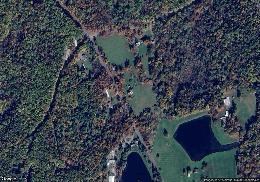
Map
Nearby Homes
- 828 W Avery Station Rd
- 30 Indian Spring Rd
- 32 Shore Dr
- 227 Henry Holod Rd
- 6 1/2 Indian Spring Rd
- 9 Marcy Rd
- 22 Mount Airy Estate
- 1 Pennsylvania 29
- 306 State Route 1008
- 16 Alfie Ln
- 10 Dogwood Dr
- Lot 81 Eastwoods Rd
- L77 Eastwoods Rd
- 1598 State Route 6
- L109 Waterview Ct
- 7 Doran Dr
- 9 Doran Dr
- 53 Eastwoods Rd
- 40 Winola Ave
- 65 Clinton Dr
- 411 Stark Rd
- 12 Rocky Rift Rd
- 166 Whipporwill Hollow Rd
- 150 Whipporwill Rd
- 511 Stark Rd
- 521 Stark Rd
- 138 Whipporwill Rd
- 28 Vago Rd
- 605 Stark Rd
- 605 Stark Rd
- 34 Vago Rd
- 34 Vago Rd
- 865 E Avery Station Rd Unit R
- 109 Jets Ln
- 0 Stark Rd Unit GSB065958
- 0 Stark Rd
- 615 Stark Rd
- 301 Stark Rd
- 301 Stark Rd
- Lot B Stark Rd