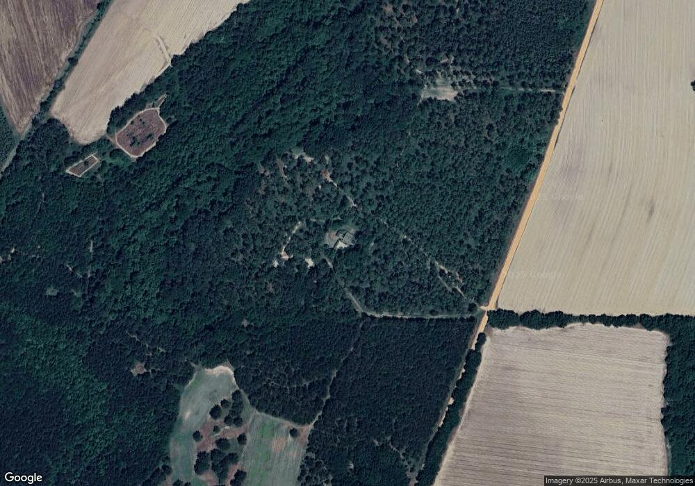
428 Suber Rd Moultrie, GA 31768
Estimated Value: $275,000 - $643,526
--
Bed
2
Baths
2,999
Sq Ft
$143/Sq Ft
Est. Value
About This Home
This home is located at 428 Suber Rd, Moultrie, GA 31768 and is currently estimated at $429,842, approximately $143 per square foot. 428 Suber Rd is a home located in Colquitt County with nearby schools including Funston Elementary School, C.A. Gray Junior High School, and Willie J. Williams Middle School.
Ownership History
Date
Name
Owned For
Owner Type
Purchase Details
Closed on
Aug 25, 2016
Sold by
Marshall
Bought by
Mccranie John Marshall and Mccranie Christopher J
Current Estimated Value
Purchase Details
Closed on
Jan 1, 2011
Sold by
Mccranie Christopher J
Bought by
Mccranie John Marshall and Mccranie Eric Lee
Purchase Details
Closed on
Mar 16, 1984
Bought by
Mccranie Marshall
Create a Home Valuation Report for This Property
The Home Valuation Report is an in-depth analysis detailing your home's value as well as a comparison with similar homes in the area
Home Values in the Area
Average Home Value in this Area
Purchase History
| Date | Buyer | Sale Price | Title Company |
|---|---|---|---|
| Mccranie John Marshall | -- | -- | |
| Mccranie John Marshall | -- | -- | |
| Mccranie Susan | -- | -- | |
| Mccranie Marshall | $41,000 | -- |
Source: Public Records
Tax History Compared to Growth
Tax History
| Year | Tax Paid | Tax Assessment Tax Assessment Total Assessment is a certain percentage of the fair market value that is determined by local assessors to be the total taxable value of land and additions on the property. | Land | Improvement |
|---|---|---|---|---|
| 2024 | $3,175 | $209,433 | $52,722 | $156,711 |
| 2023 | $3,661 | $169,774 | $52,722 | $117,052 |
| 2022 | $2,869 | $157,091 | $52,153 | $104,938 |
| 2021 | $2,688 | $142,406 | $46,933 | $95,473 |
| 2020 | $2,727 | $142,406 | $46,933 | $95,473 |
| 2019 | $2,600 | $126,985 | $46,933 | $80,052 |
| 2018 | $3,248 | $126,985 | $46,933 | $80,052 |
| 2017 | $2,535 | $113,723 | $33,671 | $80,052 |
| 2016 | $2,085 | $100,219 | $33,111 | $67,108 |
| 2015 | $2,096 | $100,219 | $33,111 | $67,108 |
| 2014 | $2,049 | $100,219 | $33,111 | $67,108 |
| 2013 | -- | $100,219 | $33,111 | $67,108 |
Source: Public Records
Map
Nearby Homes
- 0 Kendallwood Dr Unit 1652301
- 219 Cox Dairy Rd
- Lot 45 Fox Trot Dr
- LOT 52 Fox Trot Dr
- LOT 58 Fox Trot Dr
- LOT 56 Fox Trot Dr
- LOT 54 Fox Trot Dr
- 0 Fox Trot Dr
- LOT 53 Fox Trot Dr
- LOT 55 Fox Trot Dr
- 198 Westwoods Dr
- LOT 39 Westwoods Dr
- LOT 1 Westwoods Dr
- LOT 23 Westwoods Dr
- LOT 35 Westwoods Dr
- LOT 36 Westwoods Dr
- LOT 37 Westwoods Dr
- LOT 41 Westwoods Dr
- LOT 29 Merganser Ln
- LOT 32 Merganser Ln
- 2217 Dunn Rd
- 2341 Dunn Rd
- 2324 Dunn Rd
- 2344 Dunn Rd
- 2436 Dunn Rd
- 717 Rondo Gay Rd
- 691 Rondo Gay Rd
- 2053 Dunn Rd
- 120 Yarbrough Rd
- 2502 Dunn Rd
- 2609 Dunn Rd
- 600 Rondo Gay Rd
- 2560 Dunn Rd
- 2615 Dunn Rd
- 558 Rondo Gay Rd
- 1926 Dunn Rd
- 1138 Kendallwood Church Rd
- 920 Kendallwood Church Rd
- 852 Kendallwood Church Rd
- 804 Kendallwood Church Rd
