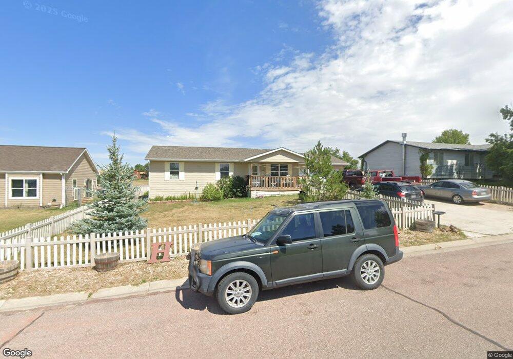
428 Sundance Cir Wright, WY 82732
Estimated Value: $255,000 - $268,000
2
Beds
2
Baths
1,260
Sq Ft
$206/Sq Ft
Est. Value
About This Home
This home is located at 428 Sundance Cir, Wright, WY 82732 and is currently estimated at $259,790, approximately $206 per square foot. 428 Sundance Cir is a home with nearby schools including Westwood High School, Pronghorn Elementary School, and Sage Valley Junior High School.
Ownership History
Date
Name
Owned For
Owner Type
Purchase Details
Closed on
Mar 25, 2014
Sold by
Wyoming Community Development Authority
Bought by
Banks Jordan and Hanson Dewain
Current Estimated Value
Home Financials for this Owner
Home Financials are based on the most recent Mortgage that was taken out on this home.
Original Mortgage
$168,350
Outstanding Balance
$127,942
Interest Rate
4.41%
Mortgage Type
New Conventional
Estimated Equity
$131,848
Purchase Details
Closed on
Sep 24, 2010
Sold by
Stevens Jeremy
Bought by
Wyoming Community Development Authority
Purchase Details
Closed on
Nov 10, 2005
Sold by
Bombay Land Company Inc
Bought by
Stevens Jeremy
Create a Home Valuation Report for This Property
The Home Valuation Report is an in-depth analysis detailing your home's value as well as a comparison with similar homes in the area
Purchase History
| Date | Buyer | Sale Price | Title Company |
|---|---|---|---|
| Banks Jordan | -- | None Available | |
| Wyoming Community Development Authority | $180,900 | None Available | |
| Stevens Jeremy | -- | None Available |
Source: Public Records
Mortgage History
| Date | Status | Borrower | Loan Amount |
|---|---|---|---|
| Open | Banks Jordan | $168,350 |
Source: Public Records
Tax History
| Year | Tax Paid | Tax Assessment Tax Assessment Total Assessment is a certain percentage of the fair market value that is determined by local assessors to be the total taxable value of land and additions on the property. | Land | Improvement |
|---|---|---|---|---|
| 2025 | $1,563 | $15,554 | $2,854 | $12,700 |
| 2024 | $16 | $19,954 | $3,659 | $16,295 |
| 2023 | $1,527 | $19,483 | $3,232 | $16,251 |
| 2022 | $1,340 | $17,053 | $2,899 | $14,154 |
| 2021 | $1,172 | $15,378 | $2,899 | $12,479 |
| 2020 | $1,162 | $15,276 | $2,899 | $12,377 |
| 2019 | $1,167 | $15,369 | $2,899 | $12,470 |
| 2018 | $1,212 | $16,029 | $2,899 | $13,130 |
| 2017 | $1,240 | $16,437 | $2,592 | $13,845 |
| 2016 | $1,423 | $18,833 | $2,592 | $16,241 |
| 2015 | -- | $17,294 | $2,592 | $14,702 |
| 2014 | -- | $19,332 | $2,592 | $16,740 |
Source: Public Records
Map
Nearby Homes
- 430 Sundance Cir
- 426 Sundance Cir
- 424 Sundance Cir -
- 427 Sundance Cir
- 432 Sundance Cir
- 418 Sundance Cir
- 407 Rawlins Ct
- 422 Sundance Cir -
- 434 Sundance Cir
- 433 Sundance Cir
- 436 Sundance Cir
- 405 Rawlins Ct
- 421 Sundance Cir
- 410 Rawlins Ct
- 405 Sheridan Ct
- 416 Sundance Cir
- 419 Sundance Cir
- 403 Sheridan Ct
- 407 Sheridan Ct
- 438 Sundance Cir
Your Personal Tour Guide
Ask me questions while you tour the home.