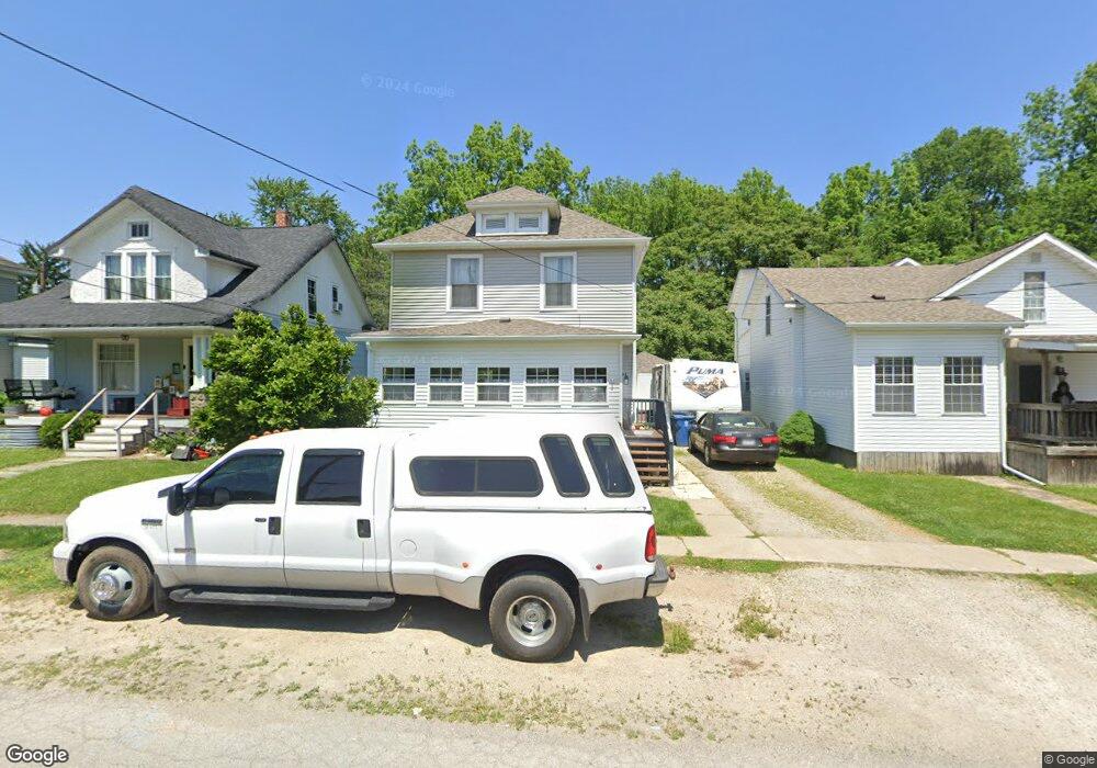
428 Vine St Fremont, OH 43420
Estimated Value: $108,000 - $151,000
3
Beds
2
Baths
1,344
Sq Ft
$95/Sq Ft
Est. Value
About This Home
This home is located at 428 Vine St, Fremont, OH 43420 and is currently estimated at $127,804, approximately $95 per square foot. 428 Vine St is a home located in Sandusky County with nearby schools including Fremont Ross High School, Bishop Hoffman Catholic School - This is St Joe's School now, and St. Joseph School.
Ownership History
Date
Name
Owned For
Owner Type
Purchase Details
Closed on
Jan 11, 2005
Sold by
Neiling James E and Neiling Dorothy J
Bought by
Shanahan Patrick O and Shanahan Sara
Current Estimated Value
Home Financials for this Owner
Home Financials are based on the most recent Mortgage that was taken out on this home.
Original Mortgage
$94,860
Outstanding Balance
$48,146
Interest Rate
5.83%
Mortgage Type
Purchase Money Mortgage
Estimated Equity
$79,658
Purchase Details
Closed on
Jul 25, 1994
Sold by
Est Bernice R Billow
Bought by
Neiling James E and Neiling Dorothy J
Home Financials for this Owner
Home Financials are based on the most recent Mortgage that was taken out on this home.
Original Mortgage
$30,000
Interest Rate
8.38%
Mortgage Type
New Conventional
Create a Home Valuation Report for This Property
The Home Valuation Report is an in-depth analysis detailing your home's value as well as a comparison with similar homes in the area
Home Values in the Area
Average Home Value in this Area
Purchase History
| Date | Buyer | Sale Price | Title Company |
|---|---|---|---|
| Shanahan Patrick O | -- | Landsel Title Agency Inc | |
| Neiling James E | $34,900 | -- |
Source: Public Records
Mortgage History
| Date | Status | Borrower | Loan Amount |
|---|---|---|---|
| Open | Shanahan Patrick O | $94,860 | |
| Closed | Neiling James E | $30,000 |
Source: Public Records
Tax History Compared to Growth
Tax History
| Year | Tax Paid | Tax Assessment Tax Assessment Total Assessment is a certain percentage of the fair market value that is determined by local assessors to be the total taxable value of land and additions on the property. | Land | Improvement |
|---|---|---|---|---|
| 2024 | $1,168 | $31,720 | $4,800 | $26,920 |
| 2023 | $1,168 | $25,170 | $3,820 | $21,350 |
| 2022 | $974 | $25,170 | $3,820 | $21,350 |
| 2021 | $1,005 | $25,170 | $3,820 | $21,350 |
| 2020 | $934 | $23,040 | $3,820 | $19,220 |
| 2019 | $933 | $23,040 | $3,820 | $19,220 |
| 2018 | $918 | $23,040 | $3,820 | $19,220 |
| 2017 | $901 | $22,130 | $3,820 | $18,310 |
| 2016 | $790 | $22,130 | $3,820 | $18,310 |
| 2015 | $776 | $22,130 | $3,820 | $18,310 |
| 2014 | $805 | $21,880 | $3,850 | $18,030 |
| 2013 | $787 | $21,880 | $3,850 | $18,030 |
Source: Public Records
Map
Nearby Homes
- 515 S Arch St
- 619 Hayes Ave
- 625 Bush Place
- 616 S Wood St
- 815 South St
- 1015 Hayes Ave
- 1037 Buckland Ave
- 1028 June St
- 905 Twinn St
- 208 E State St
- 1013 Whittlesey St
- 224 Sandusky Ave Unit 226
- 427 N Clover St
- 1009 Napoleon St
- 600 S Buchanan St
- 0 S Buchanan St
- 516 N Front St
- 906 Amsden Blvd
- 1342 Mcpherson Blvd
- 216 S Buchanan St