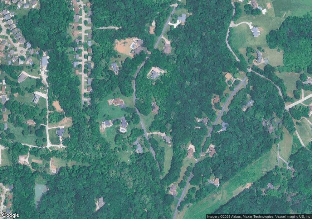
4280 Missouri Pacific Rd Arnold, MO 63010
Estimated Value: $416,000 - $521,000
Studio
--
Bath
2,518
Sq Ft
$187/Sq Ft
Est. Value
About This Home
This home is located at 4280 Missouri Pacific Rd, Arnold, MO 63010 and is currently estimated at $469,789, approximately $186 per square foot. 4280 Missouri Pacific Rd is a home located in Jefferson County with nearby schools including Rockport Heights Elementary School, Fox Middle School, and Fox Senior High School.
Ownership History
Date
Name
Owned For
Owner Type
Purchase Details
Closed on
Oct 16, 1998
Sold by
Phillips Daniel C and Phillips Ida B
Bought by
Billy Joseph K and Billy Maureen M
Current Estimated Value
Home Financials for this Owner
Home Financials are based on the most recent Mortgage that was taken out on this home.
Original Mortgage
$190,800
Outstanding Balance
$39,735
Interest Rate
6.61%
Estimated Equity
$430,054
Create a Home Valuation Report for This Property
The Home Valuation Report is an in-depth analysis detailing your home's value as well as a comparison with similar homes in the area
Home Values in the Area
Average Home Value in this Area
Purchase History
| Date | Buyer | Sale Price | Title Company |
|---|---|---|---|
| Billy Joseph K | -- | Commonwealth Title |
Source: Public Records
Mortgage History
| Date | Status | Borrower | Loan Amount |
|---|---|---|---|
| Open | Billy Joseph K | $190,800 |
Source: Public Records
Tax History Compared to Growth
Tax History
| Year | Tax Paid | Tax Assessment Tax Assessment Total Assessment is a certain percentage of the fair market value that is determined by local assessors to be the total taxable value of land and additions on the property. | Land | Improvement |
|---|---|---|---|---|
| 2025 | $3,568 | $54,700 | $6,400 | $48,300 |
| 2024 | $3,568 | $50,000 | $6,400 | $43,600 |
| 2023 | $3,568 | $50,000 | $6,400 | $43,600 |
| 2022 | $3,544 | $50,000 | $6,400 | $43,600 |
| 2021 | $3,546 | $50,000 | $6,400 | $43,600 |
| 2020 | $3,375 | $45,100 | $5,900 | $39,200 |
| 2019 | $3,386 | $45,100 | $5,900 | $39,200 |
| 2018 | $3,361 | $45,100 | $5,900 | $39,200 |
| 2017 | $3,254 | $45,100 | $5,900 | $39,200 |
| 2016 | $2,792 | $41,700 | $5,900 | $35,800 |
| 2015 | $2,799 | $41,700 | $5,900 | $35,800 |
| 2013 | -- | $41,100 | $5,300 | $35,800 |
Source: Public Records
Map
Nearby Homes
- 1165 New Towne Rd
- 4420 Western Pacific Rd
- 4344 Iron Mountain Bluff
- Lot 2 Baeumners Second Subdivision
- 1322 Rockwood Forest Dr
- 1308 Rockwood Forest Dr
- 1001 Willow Bend Rd
- 3270 Bayvue Blvd
- 722 Sur Vista Dr
- 5323 Lakewood Terrace
- 170 Bogey Blvd
- 5757 Montebello Rd
- 1744 Hilltop Ln
- 5 Hotel Ct
- 5207 Darkmoor Ln
- 8039 Pinetop Dr
- 5832 Blackberry Dr
- 564 Hickory Manor
- 5823 Mayberry Dr
- 1981 Saint Johns Crossing
- 4260 Missouri Pacific Rd
- 4320 Missouri Pacific Rd
- 4283 Missouri Pacific Rd
- 4317 Missouri Pacific Rd
- 4331 Rock Island Rd
- 4301 Missouri Pacific Rd
- 4363 Rock Island Rd
- 4271 Missouri Pacific Rd
- 4299 Rock Island Rd
- 4248 Missouri Pacific Rd
- 4255 Missouri Pacific Rd
- 4282 Lorien Trail
- 4324 Rock Island Rd
- 4352 Rock Island Rd
- 4278 Lorien Trail
- 4274 Lorien Trail
- 4270 Lorien Trail
- 4275 Rock Island Rd
- 4225 Missouri Pacific Rd
- 4266 Lorien Trail
