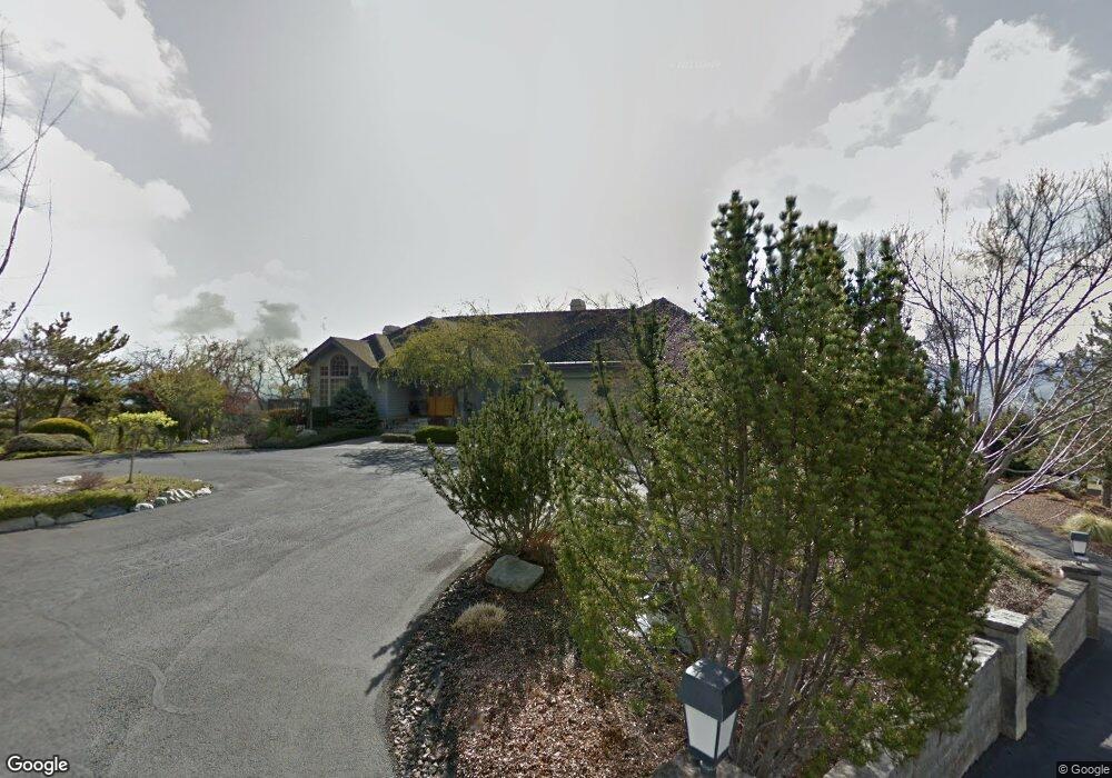
4280 Tami Ln Central Point, OR 97502
Estimated Value: $1,309,351 - $1,477,000
5
Beds
4
Baths
4,345
Sq Ft
$323/Sq Ft
Est. Value
About This Home
This home is located at 4280 Tami Ln, Central Point, OR 97502 and is currently estimated at $1,403,450, approximately $323 per square foot. 4280 Tami Ln is a home located in Jackson County with nearby schools including Jacksonville Elementary School, McLoughlin Middle School, and South Medford High School.
Ownership History
Date
Name
Owned For
Owner Type
Purchase Details
Closed on
Oct 5, 2022
Sold by
Burrill Michael E
Bought by
Michael E Burrill Trust
Current Estimated Value
Purchase Details
Closed on
Feb 28, 2013
Sold by
Burrill Michael E
Bought by
Burrill Michael E
Home Financials for this Owner
Home Financials are based on the most recent Mortgage that was taken out on this home.
Original Mortgage
$100,000
Interest Rate
3.34%
Mortgage Type
Credit Line Revolving
Create a Home Valuation Report for This Property
The Home Valuation Report is an in-depth analysis detailing your home's value as well as a comparison with similar homes in the area
Home Values in the Area
Average Home Value in this Area
Purchase History
| Date | Buyer | Sale Price | Title Company |
|---|---|---|---|
| Michael E Burrill Trust | -- | -- | |
| Burrill Michael E | -- | None Available |
Source: Public Records
Mortgage History
| Date | Status | Borrower | Loan Amount |
|---|---|---|---|
| Previous Owner | Burrill Michael E | $100,000 |
Source: Public Records
Tax History Compared to Growth
Tax History
| Year | Tax Paid | Tax Assessment Tax Assessment Total Assessment is a certain percentage of the fair market value that is determined by local assessors to be the total taxable value of land and additions on the property. | Land | Improvement |
|---|---|---|---|---|
| 2025 | $13,691 | $1,099,700 | $170,130 | $929,570 |
| 2024 | $13,691 | $1,067,670 | $169,080 | $898,590 |
| 2023 | $13,270 | $1,036,580 | $164,150 | $872,430 |
| 2022 | $12,959 | $1,036,580 | $164,150 | $872,430 |
| 2021 | $12,633 | $1,006,390 | $159,380 | $847,010 |
| 2020 | $12,335 | $977,080 | $154,740 | $822,340 |
| 2019 | $12,052 | $921,000 | $145,860 | $775,140 |
| 2018 | $11,750 | $894,180 | $141,610 | $752,570 |
| 2017 | $11,558 | $894,180 | $141,610 | $752,570 |
| 2016 | $11,340 | $842,860 | $133,490 | $709,370 |
| 2015 | $10,866 | $842,860 | $133,490 | $709,370 |
| 2014 | $10,707 | $794,490 | $125,840 | $668,650 |
Source: Public Records
Map
Nearby Homes
- 4075 Livingston Rd
- 1916 Old Military Rd
- 2555 Old Military Rd
- 1055 N 5th St Unit 79
- 1055 N 5th St Unit 15
- 440 Richard Way
- 560 Woodberry Ln
- 325 Jackson Creek Dr
- 245 Jackson Creek Dr
- 495 Shafer Ln
- 321 Pair A Dice Ranch Rd
- 300 Shafer Ln Unit B4
- 480 N Oregon St
- 2805 Old Military Rd
- 465 Strawberry Hill Ln
- 440 N 4th St Unit 103
- 440 N 4th St Unit 104
- 195 E St
- 160 Vintage Cir
- 110 Mccully Ln