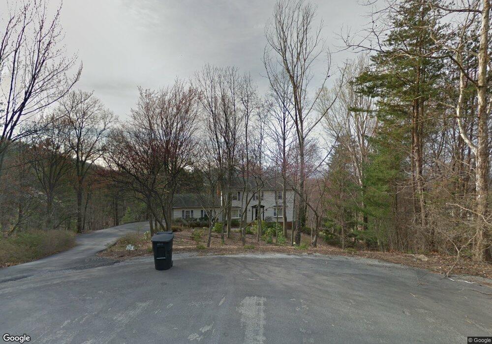
4281 Toddsbury Cir Vinton, VA 24179
Estimated Value: $181,000 - $458,000
4
Beds
4
Baths
2,316
Sq Ft
$164/Sq Ft
Est. Value
About This Home
This home is located at 4281 Toddsbury Cir, Vinton, VA 24179 and is currently estimated at $379,134, approximately $163 per square foot. 4281 Toddsbury Cir is a home located in Roanoke County with nearby schools including Herman L. Horn Elementary School, William Byrd Middle School, and William Byrd High School.
Ownership History
Date
Name
Owned For
Owner Type
Purchase Details
Closed on
Jun 3, 2025
Sold by
Cook Michael Eugene and Cook Wesley L
Bought by
Cook Thomas Wesley
Current Estimated Value
Home Financials for this Owner
Home Financials are based on the most recent Mortgage that was taken out on this home.
Original Mortgage
$185,000
Outstanding Balance
$184,525
Interest Rate
6.81%
Mortgage Type
New Conventional
Estimated Equity
$194,609
Create a Home Valuation Report for This Property
The Home Valuation Report is an in-depth analysis detailing your home's value as well as a comparison with similar homes in the area
Home Values in the Area
Average Home Value in this Area
Purchase History
| Date | Buyer | Sale Price | Title Company |
|---|---|---|---|
| Cook Thomas Wesley | $175,000 | Fidelity National Title |
Source: Public Records
Mortgage History
| Date | Status | Borrower | Loan Amount |
|---|---|---|---|
| Open | Cook Thomas Wesley | $185,000 |
Source: Public Records
Tax History Compared to Growth
Tax History
| Year | Tax Paid | Tax Assessment Tax Assessment Total Assessment is a certain percentage of the fair market value that is determined by local assessors to be the total taxable value of land and additions on the property. | Land | Improvement |
|---|---|---|---|---|
| 2025 | $3,686 | $357,900 | $78,200 | $279,700 |
| 2024 | $3,557 | $342,000 | $69,000 | $273,000 |
| 2023 | $3,388 | $319,600 | $66,700 | $252,900 |
| 2022 | $3,258 | $298,900 | $66,700 | $232,200 |
| 2021 | $2,871 | $263,400 | $57,500 | $205,900 |
| 2020 | $2,746 | $251,900 | $52,900 | $199,000 |
| 2019 | $2,700 | $247,700 | $50,600 | $197,100 |
| 2018 | $2,580 | $243,500 | $50,600 | $192,900 |
| 2017 | $2,580 | $236,700 | $48,300 | $188,400 |
| 2016 | $2,581 | $236,800 | $48,300 | $188,500 |
| 2015 | $2,581 | $236,800 | $48,300 | $188,500 |
| 2014 | $2,547 | $233,700 | $48,300 | $185,400 |
Source: Public Records
Map
Nearby Homes
- 4196 Toddsbury Dr
- 4342 Toddsbury Dr
- 3901 Horsepen Mountain Dr
- 7074 Blue Ridge Pkwy
- 7063 Blue Ridge Pkwy
- 3951 Blandfield Dr
- 2606 Paddington Station Ln
- 522 Cambridge Court Rd
- 2010 Mountain View Rd
- 2876 Tulip Ln
- 1989 Mountain View Rd
- 2847 Tulip Ln
- 2988 Stonebridge Cir
- 2971 Stonebridge Cir
- 2029 Heys Ln
- 257 Azalea Cir
- 2064 Heys Ln
- 221 Spring Grove Dr
- 1075 Windstar Cir
- 1812 Mountain View Rd Unit & 1816
- 4273 Toddsbury Cir
- 4249 Toddsbury Dr
- 5246 Burnt Quarter Dr
- 4278 Toddsbury Cir
- 4114 Horsepen Mountain Dr
- 4259 Toddsbury Dr
- 4288 Toddsbury Cir
- 4106 Horsepen Mountain Dr
- 5236 Burnt Quarter Dr
- 4239 Toddsbury Dr
- 5226 Burnt Quarter Dr
- 4229 Toddsbury Dr
- 4096 Horsepen Mountain Dr
- 4256 Toddsbury Dr
- 4266 Toddsbury Dr
- 4275 Toddsbury Dr
- 5216 Burnt Quarter Dr
- 4115 Horsepen Mountain Dr
- 4246 Toddsbury Dr
- 4276 Toddsbury Dr