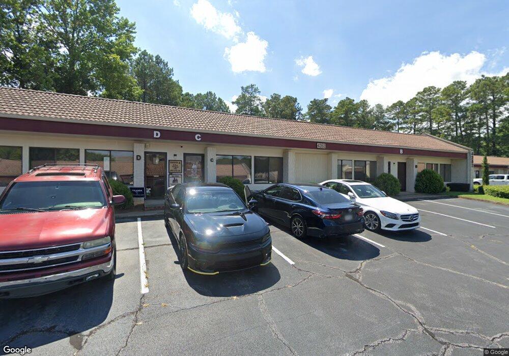
4282 Memorial Dr Decatur, GA 30032
Estimated Value: $405,332
--
Bed
--
Bath
5,400
Sq Ft
$75/Sq Ft
Est. Value
About This Home
This home is located at 4282 Memorial Dr, Decatur, GA 30032 and is currently estimated at $405,332, approximately $75 per square foot. 4282 Memorial Dr is a home located in DeKalb County with nearby schools including Avondale Elementary School, Druid Hills Middle School, and Druid Hills High School.
Ownership History
Date
Name
Owned For
Owner Type
Purchase Details
Closed on
Oct 1, 2012
Sold by
Cantin Michael J
Bought by
James Winston and James Heather
Current Estimated Value
Home Financials for this Owner
Home Financials are based on the most recent Mortgage that was taken out on this home.
Original Mortgage
$105,530
Outstanding Balance
$73,263
Interest Rate
3.64%
Mortgage Type
Commercial
Estimated Equity
$332,069
Purchase Details
Closed on
Dec 7, 2010
Sold by
Juanita Brazzell and Juanita +
Bought by
Cantin Michael J
Create a Home Valuation Report for This Property
The Home Valuation Report is an in-depth analysis detailing your home's value as well as a comparison with similar homes in the area
Home Values in the Area
Average Home Value in this Area
Purchase History
| Date | Buyer | Sale Price | Title Company |
|---|---|---|---|
| James Winston | $112,900 | -- | |
| Cantin Michael J | $137,875 | -- |
Source: Public Records
Mortgage History
| Date | Status | Borrower | Loan Amount |
|---|---|---|---|
| Open | James Winston | $105,530 |
Source: Public Records
Tax History Compared to Growth
Tax History
| Year | Tax Paid | Tax Assessment Tax Assessment Total Assessment is a certain percentage of the fair market value that is determined by local assessors to be the total taxable value of land and additions on the property. | Land | Improvement |
|---|---|---|---|---|
| 2025 | $3,695 | $58,320 | $9,720 | $48,600 |
| 2024 | $2,621 | $58,320 | $9,720 | $48,600 |
| 2023 | $2,621 | $58,320 | $9,720 | $48,600 |
| 2022 | $2,289 | $51,391 | $9,720 | $41,671 |
| 2021 | $2,289 | $51,391 | $9,720 | $41,671 |
| 2020 | $2,289 | $51,391 | $9,720 | $41,671 |
| 2019 | $2,289 | $51,391 | $9,720 | $41,671 |
| 2018 | $2,165 | $46,000 | $9,720 | $36,280 |
| 2017 | $2,359 | $50,240 | $9,720 | $40,520 |
| 2016 | $2,254 | $50,240 | $9,720 | $40,520 |
| 2014 | $2,309 | $50,240 | $9,720 | $40,520 |
Source: Public Records
Map
Nearby Homes
- 3409 Catalan Alley
- 3425 Catalan Alley
- 3437 Catalan Alley
- 3376 MacAiva Alley
- 3254 Kensington Rd
- 3302 Wynn Dr
- 680 Emeril Dr Unit 19
- 417 Kensington Parc Way
- 786 Brookside Parc Ln
- Hartcliffe Plan at Porter Reserve
- Salisbury Plan at Porter Reserve
- Buchanan Plan at Porter Reserve
- Ellison Plan at Porter Reserve
- Cabot Plan at Porter Reserve
- 550 Stratford Green
- 211 Cobblestone Trail Unit 211
- 215 Cobblestone Trail
- 219 Cobblestone Trail
- 4282 Memorial Dr
- 4290 Memorial Dr
- 4292 Memorial Dr Unit A
- 4284 Memorial Dr
- 4294 Memorial Dr Unit A&C
- 4294 Memorial Dr Unit C
- 4280 Memorial Dr
- 4286 Memorial Dr
- 4296 Memorial Dr Unit SUITE C
- 4296 Memorial Dr
- 4296 Memorial Dr Unit B
- 3418 Mountain Dr
- 3438 Mountain Dr
- 3408 Mountain Dr
- 717 Farrar Ct
- 3402 Mountain Dr
- 4298 Memorial Dr Unit D
- 4298 Memorial Dr
- 708 Farrar Ct
- 728 Avondale Hills Dr Unit 2