4282 NE Joes Point Rd Stuart, FL 34996
South Hutchinson Island NeighborhoodEstimated Value: $1,643,455 - $2,386,000
3
Beds
4
Baths
2,515
Sq Ft
$771/Sq Ft
Est. Value
About This Home
This home is located at 4282 NE Joes Point Rd, Stuart, FL 34996 and is currently estimated at $1,938,864, approximately $770 per square foot. 4282 NE Joes Point Rd is a home located in Martin County with nearby schools including Felix A. Williams Elementary School, Stuart Middle School, and Jensen Beach High School.
Ownership History
Date
Name
Owned For
Owner Type
Purchase Details
Closed on
Nov 22, 2005
Sold by
Garretson Robert N
Bought by
Garretson Robert N and Garretson Helen
Current Estimated Value
Purchase Details
Closed on
Oct 29, 2004
Sold by
Garretson Robert N and Garretson Helen
Bought by
Garretson Robert N
Purchase Details
Closed on
Apr 12, 1995
Bought by
Garretson Robert N and Garretson Helen
Purchase Details
Closed on
Feb 1, 1983
Bought by
Garretson Robert N and Garretson Helen
Create a Home Valuation Report for This Property
The Home Valuation Report is an in-depth analysis detailing your home's value as well as a comparison with similar homes in the area
Home Values in the Area
Average Home Value in this Area
Purchase History
| Date | Buyer | Sale Price | Title Company |
|---|---|---|---|
| Garretson Robert N | -- | -- | |
| Garretson Robert N | -- | -- | |
| Garretson Robert N | $100 | -- | |
| Garretson Robert N | $135,000 | -- |
Source: Public Records
Tax History Compared to Growth
Tax History
| Year | Tax Paid | Tax Assessment Tax Assessment Total Assessment is a certain percentage of the fair market value that is determined by local assessors to be the total taxable value of land and additions on the property. | Land | Improvement |
|---|---|---|---|---|
| 2025 | $10,737 | $680,103 | -- | -- |
| 2024 | $10,561 | $660,936 | -- | -- |
| 2023 | $10,561 | $641,686 | $0 | $0 |
| 2022 | $10,225 | $622,997 | $0 | $0 |
| 2021 | $10,295 | $604,852 | $0 | $0 |
| 2020 | $10,139 | $596,501 | $0 | $0 |
| 2019 | $10,026 | $583,091 | $0 | $0 |
| 2018 | $9,783 | $572,220 | $0 | $0 |
| 2017 | $8,742 | $549,852 | $0 | $0 |
| 2016 | $8,909 | $538,543 | $0 | $0 |
| 2015 | $8,459 | $534,799 | $0 | $0 |
| 2014 | $8,459 | $530,555 | $0 | $0 |
Source: Public Records
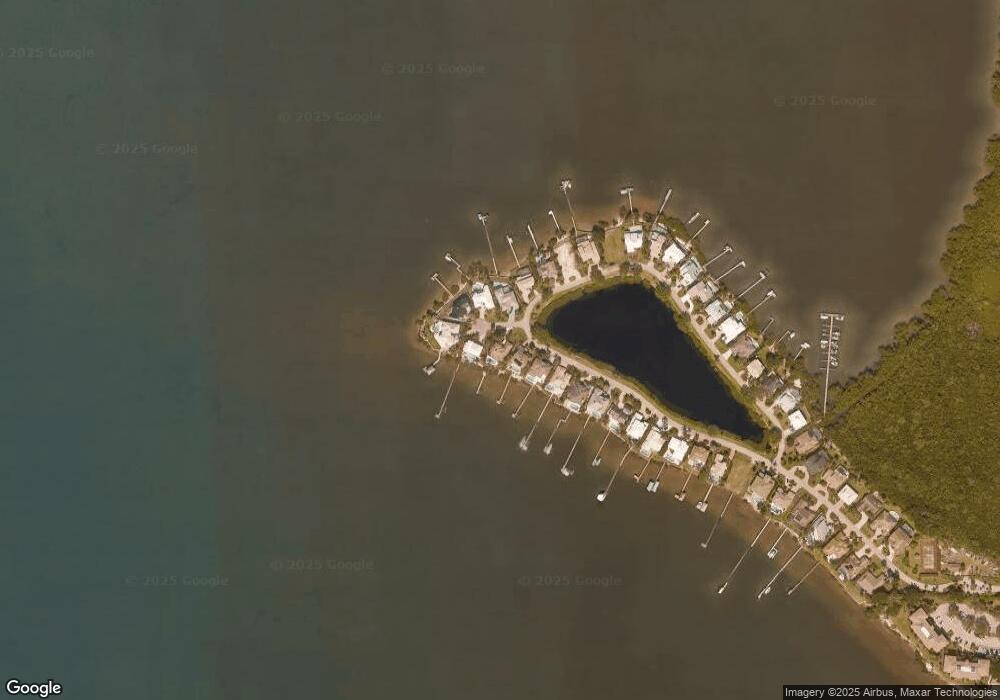
Map
Nearby Homes
- 4620 NE Sandpebble Trace Unit 401
- 2571 NE Ocean Blvd Unit 104
- 4490 NE Sandpebble Trace Unit 301
- 2641 NE Ocean Blvd Unit 106
- 4490 NE Sandpebble Trace Unit 302
- 4490 NE Sandpebble Trace Unit 304
- 2641 NE Ocean Blvd Unit 101
- 2641 NE Ocean Blvd Unit 201
- 4720 NE Sandpebble Trace Unit 203
- 3541 NE Ocean Blvd Unit 7
- 3541 NE Ocean Blvd Unit 6
- 2370 NE Ocean Blvd Unit C305
- 2375 NE Ocean Blvd Unit D205
- 2370 NE Ocean Blvd Unit A203
- 2375 NE Ocean Blvd Unit E202
- 2370 NE Ocean Blvd Unit C201
- 2370 NE Ocean Blvd Unit B302
- 2355 NE Ocean Blvd Unit 37B
- 2355 NE Ocean Blvd Unit 11A
- 2355 NE Ocean Blvd Unit 22A
- 4260 NE Joes Point Rd
- 4270 NE Joes Point Rd
- 4250 NE Joes Point Rd
- 4280 NE Joes Point Rd
- 4240 NE Joes Point Rd
- 4290 NE Joes Point Rd
- 4230 NE Joes Point Rd
- 4300 NE Joes Point Rd
- 4000 NE Joes Point Rd
- 4220 NE Joes Point Rd
- 4303 NE Joes Point Terrace
- 3970 NE Joes Point Rd
- 3980 NE Joes Point Rd
- 3990 NE Joe's Point Rd
- 4310 NE Joes Point Rd
- 3960 NE Joes Point Rd
- 3950 NE Joes Point Rd
- 3940 NE Joes Point Rd
- 4311 NE Joe's Point Rd
- 4311 NE Joes Point Rd