4282 S Range Rd North Platte, NE 69101
Estimated Value: $397,000 - $472,811
--
Bed
1
Bath
2,092
Sq Ft
$204/Sq Ft
Est. Value
About This Home
This home is located at 4282 S Range Rd, North Platte, NE 69101 and is currently estimated at $426,453, approximately $203 per square foot. 4282 S Range Rd is a home located in Lincoln County with nearby schools including Hershey High School.
Ownership History
Date
Name
Owned For
Owner Type
Purchase Details
Closed on
Nov 15, 2018
Sold by
Wiemers Eldon W and Wiemers Mary K
Bought by
Dorr Turner J and Dorr Bridgett D
Current Estimated Value
Home Financials for this Owner
Home Financials are based on the most recent Mortgage that was taken out on this home.
Original Mortgage
$215,200
Outstanding Balance
$189,225
Interest Rate
4.8%
Mortgage Type
New Conventional
Estimated Equity
$237,228
Purchase Details
Closed on
Jul 16, 2018
Sold by
Windhorst Robert D and Windhorst Norine West
Bought by
Wiemers Eldon W and Wiemers Mary K
Home Financials for this Owner
Home Financials are based on the most recent Mortgage that was taken out on this home.
Original Mortgage
$350,000
Interest Rate
4.6%
Mortgage Type
Future Advance Clause Open End Mortgage
Create a Home Valuation Report for This Property
The Home Valuation Report is an in-depth analysis detailing your home's value as well as a comparison with similar homes in the area
Home Values in the Area
Average Home Value in this Area
Purchase History
| Date | Buyer | Sale Price | Title Company |
|---|---|---|---|
| Dorr Turner J | $269,000 | Title Services Of The Plains | |
| Wiemers Eldon W | $116,000 | Title Services Of The Plains |
Source: Public Records
Mortgage History
| Date | Status | Borrower | Loan Amount |
|---|---|---|---|
| Open | Dorr Turner J | $215,200 | |
| Previous Owner | Wiemers Eldon W | $350,000 |
Source: Public Records
Tax History Compared to Growth
Tax History
| Year | Tax Paid | Tax Assessment Tax Assessment Total Assessment is a certain percentage of the fair market value that is determined by local assessors to be the total taxable value of land and additions on the property. | Land | Improvement |
|---|---|---|---|---|
| 2024 | $3,796 | $342,851 | $68,015 | $274,836 |
| 2023 | $4,430 | $300,870 | $53,515 | $247,355 |
| 2022 | $4,233 | $259,593 | $53,515 | $206,078 |
| 2021 | $3,608 | $259,593 | $53,515 | $206,078 |
| 2020 | $3,524 | $259,593 | $53,515 | $206,078 |
| 2019 | $2,513 | $193,205 | $22,580 | $170,625 |
| 2018 | $2,414 | $193,205 | $22,580 | $170,625 |
| 2017 | $2,415 | $193,205 | $22,580 | $170,625 |
| 2016 | $2,459 | $194,820 | $22,580 | $172,240 |
| 2014 | $2,519 | $163,925 | $22,735 | $141,190 |
Source: Public Records
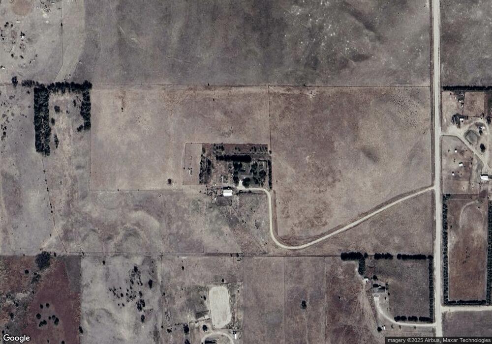
Map
Nearby Homes
- Lot 1 SW Ridgecrest Cir
- 2991 S Pkwy Unit Hershey NE 69143
- 2991 S Parkway Rd
- 5005 Frazier Ln
- 5204 Frazier Ln
- 5115 Frazier Ln
- 5217 Frazier Ln
- 5406 Frazier Ln
- 5317 Frazier Ln
- 5102 Frazier Ln
- 5308 Frazier Ln
- 4901 Frazier Ln
- 5608 Frazier Ln
- 5502 Frazier Ln
- 5002 Frazier Ln
- 5320 Frazier Ln
- 5405 Frazier Ln
- 4902 Frazier Ln
- 5503 Frazier Ln
- 407 W 2nd St
- 14009 W State Farm Rd
- 4474 S Range Rd
- 14352 W Walker Rd
- 14007 W State Farm Rd
- 13907 W State Farm Rd
- 14217 W State Farm Rd
- 4801 S Range Rd
- 14291 W State Farm Rd
- 13924 W State Farm Rd
- 14092 W State Farm Rd
- 14396 W State Farm Rd
- 14468 W State Farm Rd
- 5238 S Range Rd
- 14624 W State Farm Rd
- 13232 W Walker Rd
- 13260 W Walker Rd
- 14250 W State Farm Rd
- 14766 W State Farm Rd
- 5436 S Range Rd
- 5504 SW Ridgecrest Cir