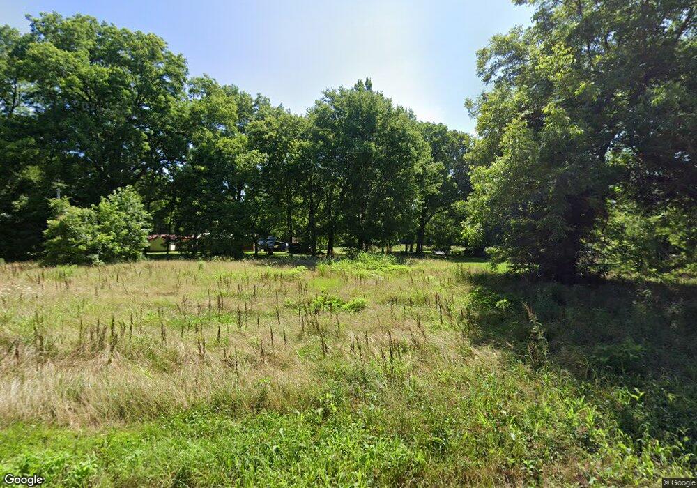
4283 Highway 355 S Fulton, AR 71838
Estimated Value: $70,390 - $129,000
--
Bed
--
Bath
896
Sq Ft
$108/Sq Ft
Est. Value
About This Home
This home is located at 4283 Highway 355 S, Fulton, AR 71838 and is currently estimated at $97,098, approximately $108 per square foot. 4283 Highway 355 S is a home with nearby schools including W.J. Clinton Primary School, Creative Action Team School, and Hope Academy.
Ownership History
Date
Name
Owned For
Owner Type
Purchase Details
Closed on
May 24, 2022
Sold by
Commissioner Of Statelands
Bought by
Collins Anita P
Current Estimated Value
Purchase Details
Closed on
Dec 17, 2018
Sold by
Collins Calvin W
Bought by
Collins Anita P
Purchase Details
Closed on
Jul 20, 2017
Sold by
Commissioner Of State Lands
Bought by
Collins Wayne
Purchase Details
Closed on
Jun 19, 2013
Sold by
Thurston John
Bought by
Calvin Collins Wayne and Calvin Wayne
Purchase Details
Closed on
Mar 12, 2009
Bought by
Collins Wayne
Purchase Details
Closed on
Jun 10, 2002
Bought by
Collins Wayne
Create a Home Valuation Report for This Property
The Home Valuation Report is an in-depth analysis detailing your home's value as well as a comparison with similar homes in the area
Home Values in the Area
Average Home Value in this Area
Purchase History
| Date | Buyer | Sale Price | Title Company |
|---|---|---|---|
| Collins Anita P | $252 | None Listed On Document | |
| Collins Anita P | -- | -- | |
| Collins Wayne | $281 | None Available | |
| Calvin Collins Wayne | $240 | -- | |
| Collins Wayne | -- | -- | |
| Collins Wayne | -- | -- |
Source: Public Records
Tax History Compared to Growth
Tax History
| Year | Tax Paid | Tax Assessment Tax Assessment Total Assessment is a certain percentage of the fair market value that is determined by local assessors to be the total taxable value of land and additions on the property. | Land | Improvement |
|---|---|---|---|---|
| 2024 | $8 | $170 | $170 | $0 |
| 2023 | $8 | $170 | $170 | $0 |
| 2022 | $8 | $170 | $170 | $0 |
| 2021 | $8 | $170 | $170 | $0 |
| 2020 | $18 | $380 | $200 | $180 |
| 2019 | $18 | $380 | $200 | $180 |
| 2018 | $17 | $380 | $200 | $180 |
| 2017 | $17 | $380 | $200 | $180 |
| 2016 | $20 | $380 | $200 | $180 |
| 2015 | $18 | $390 | $210 | $180 |
| 2014 | $18 | $390 | $210 | $180 |
Source: Public Records
Map
Nearby Homes
- 0 Highway 355 S
- TBD Us-67
- 0 Hempstead 49
- Tbd Little River 70
- TBD Private Rd
- 4407 & 4409 Hempstead 2
- 1408 Spring Lake Rd
- 686 Miller County 379
- TBD Little River 70
- TBD Little River 35 (40 Acres)
- 0 Hempstead 1042 Rd
- 1130 Lr 35
- 0 Hempstead 11 Rd
- 1131 Lr 35
- 270 Southlake Rd
- 141 Lakeshore Rd
- 247 Southlake Rd
- 224 Southlake Rd
- TBD Hempstead 48 Rd
- 0 Highway 355 S
- 111 E Columbus St
- 510 Natchitoches
- 2858 Highway 195 S
- 2861 Highway 195 S
- 2853 Highway 195 S
- 2851 Highway 195 S
- 210 E Columbus St
- 4291 Arkansas 355
- 2859 Highway 195 S
- 108 W Columbus St
- 2864 Highway 195 S
- 107 Ogan St
- 114 W Columbus St
- 509 Kiamacha St
- 4264 Highway 355 S
- 313 Kiamacha St
- 4269 Highway 355 S
- 201 W Columbus St
- 101 W Columbus St
- 303 Kiamacha St
