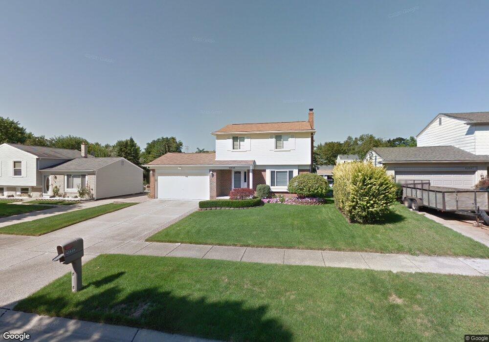
42835 Pheasant Run Dr Sterling Heights, MI 48313
Estimated Value: $294,189 - $331,000
3
Beds
2
Baths
1,434
Sq Ft
$216/Sq Ft
Est. Value
About This Home
This home is located at 42835 Pheasant Run Dr, Sterling Heights, MI 48313 and is currently estimated at $309,547, approximately $215 per square foot. 42835 Pheasant Run Dr is a home located in Macomb County with nearby schools including Havel Elementary School, Bemis Junior High School, and Henry Ford II High School.
Ownership History
Date
Name
Owned For
Owner Type
Purchase Details
Closed on
Feb 3, 2000
Sold by
Milich Matthew K
Bought by
Voikos Maureen E
Current Estimated Value
Home Financials for this Owner
Home Financials are based on the most recent Mortgage that was taken out on this home.
Original Mortgage
$97,900
Interest Rate
8.05%
Mortgage Type
Purchase Money Mortgage
Purchase Details
Closed on
Oct 29, 1997
Sold by
Patterson I and Patterson C
Bought by
Milich M and Milich L
Create a Home Valuation Report for This Property
The Home Valuation Report is an in-depth analysis detailing your home's value as well as a comparison with similar homes in the area
Home Values in the Area
Average Home Value in this Area
Purchase History
| Date | Buyer | Sale Price | Title Company |
|---|---|---|---|
| Voikos Maureen E | $167,900 | -- | |
| Milich M | $147,000 | -- |
Source: Public Records
Mortgage History
| Date | Status | Borrower | Loan Amount |
|---|---|---|---|
| Previous Owner | Voikos Maureen E | $97,900 |
Source: Public Records
Tax History Compared to Growth
Tax History
| Year | Tax Paid | Tax Assessment Tax Assessment Total Assessment is a certain percentage of the fair market value that is determined by local assessors to be the total taxable value of land and additions on the property. | Land | Improvement |
|---|---|---|---|---|
| 2025 | $3,121 | $135,500 | $0 | $0 |
| 2024 | $2,854 | $127,700 | $0 | $0 |
| 2023 | $2,694 | $115,000 | $0 | $0 |
| 2022 | $2,809 | $104,700 | $0 | $0 |
| 2021 | $2,751 | $99,700 | $0 | $0 |
| 2020 | $2,454 | $95,800 | $0 | $0 |
| 2019 | $2,346 | $90,400 | $0 | $0 |
| 2018 | $2,542 | $85,000 | $0 | $0 |
| 2017 | $2,429 | $81,400 | $13,500 | $67,900 |
| 2016 | $2,346 | $81,400 | $0 | $0 |
| 2015 | -- | $75,400 | $0 | $0 |
| 2014 | -- | $63,200 | $0 | $0 |
Source: Public Records
Map
Nearby Homes
- 42708 Wilmington Dr
- 42811 Wilmington Dr
- 12840 19 Mile Rd
- 13299 Jennilynn Ln
- 43263 Hartwick Dr
- 42222 Mac Rae Dr
- 43216 Pendleton Cir Unit 63
- 42153 Mac Rae Dr
- 12133 Chattman Dr
- 42917 Freeport Dr
- 13936 Grove Park Dr
- 13374 Wessel Ct
- 11898 Lewlund Dr
- 13185 Canopy Dr Unit 119
- 13994 Billette Dr
- 12862 Beechnut Dr
- 13431 Melanie Dr
- 13980 Amanda Dr
- 11615 Diehl Dr
- 13370 Forest Ridge Blvd Unit 172
- 42847 Pheasant Run Dr
- 42823 Pheasant Run Dr
- 42859 Pheasant Run Dr
- 42811 Pheasant Run Dr
- 42770 Wilmington Dr
- 42758 Wilmington Dr
- 42746 Wilmington Dr
- 42782 Wilmington Dr
- 42871 Pheasant Run Dr
- 42834 Pheasant Run Dr
- 42799 Pheasant Run Dr
- 42846 Pheasant Run Dr
- 42822 Pheasant Run Dr
- 42734 Wilmington Dr
- 42858 Pheasant Run Dr
- 42810 Pheasant Run Dr
- 42883 Pheasant Run Dr
- 42789 Pheasant Run Dr
- 42806 Wilmington Ct
- 42722 Wilmington Dr