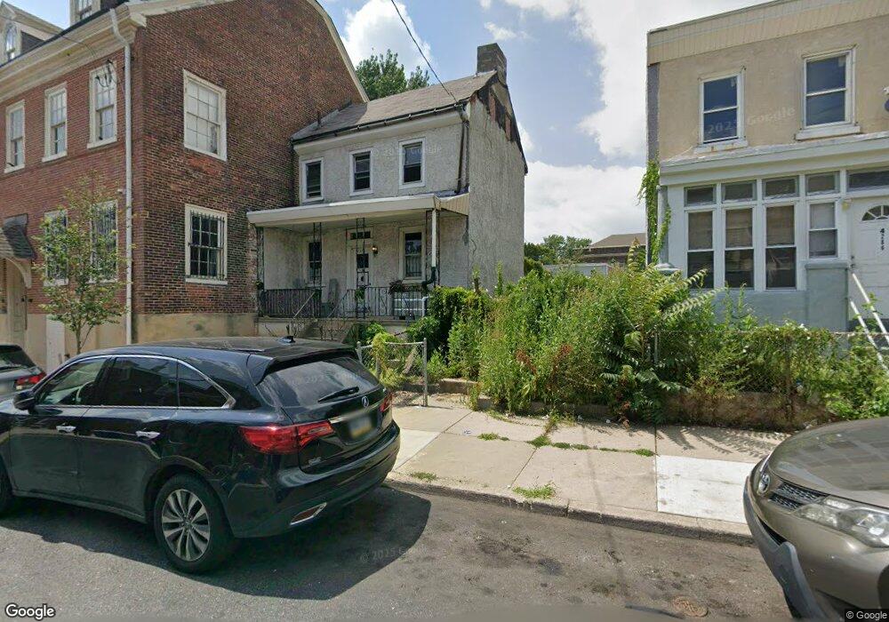
4284 Griscom St Philadelphia, PA 19124
Frankford NeighborhoodEstimated Value: $55,000 - $214,000
--
Bed
1
Bath
--
Sq Ft
1,699
Sq Ft Lot
About This Home
This home is located at 4284 Griscom St, Philadelphia, PA 19124 and is currently estimated at $122,692. 4284 Griscom St is a home located in Philadelphia County with nearby schools including John Marshall School, Harding Warren G Middle School, and Frankford High School.
Ownership History
Date
Name
Owned For
Owner Type
Purchase Details
Closed on
Sep 17, 2013
Sold by
Ten Investments Llc
Bought by
Kenpor Lp
Current Estimated Value
Purchase Details
Closed on
Aug 3, 2001
Sold by
Estate Of Helen Perry
Bought by
Ten Investments Llc
Home Financials for this Owner
Home Financials are based on the most recent Mortgage that was taken out on this home.
Original Mortgage
$20,000
Interest Rate
7.1%
Create a Home Valuation Report for This Property
The Home Valuation Report is an in-depth analysis detailing your home's value as well as a comparison with similar homes in the area
Home Values in the Area
Average Home Value in this Area
Purchase History
| Date | Buyer | Sale Price | Title Company |
|---|---|---|---|
| Kenpor Lp | $15,517 | None Available | |
| Ten Investments Llc | $20,000 | -- |
Source: Public Records
Mortgage History
| Date | Status | Borrower | Loan Amount |
|---|---|---|---|
| Previous Owner | Ten Investments Llc | $20,000 |
Source: Public Records
Tax History Compared to Growth
Tax History
| Year | Tax Paid | Tax Assessment Tax Assessment Total Assessment is a certain percentage of the fair market value that is determined by local assessors to be the total taxable value of land and additions on the property. | Land | Improvement |
|---|---|---|---|---|
| 2026 | $305 | $23,100 | $23,100 | -- |
| 2025 | $305 | $23,100 | $23,100 | -- |
| 2024 | $305 | $23,100 | $23,100 | -- |
| 2023 | $305 | $21,800 | $21,800 | $0 |
| 2022 | $447 | $21,800 | $21,800 | $0 |
| 2021 | $447 | $0 | $0 | $0 |
| 2020 | $447 | $0 | $0 | $0 |
| 2019 | $447 | $0 | $0 | $0 |
| 2018 | $255 | $0 | $0 | $0 |
| 2017 | $447 | $0 | $0 | $0 |
| 2016 | $447 | $0 | $0 | $0 |
| 2015 | $3,117 | $0 | $0 | $0 |
| 2014 | -- | $31,900 | $25,234 | $6,666 |
| 2012 | -- | $6,848 | $1,576 | $5,272 |
Source: Public Records
Map
Nearby Homes
- 4283 Frankford Ave
- 4742 Frankford Ave
- 1519 Womrath St
- 4270 Paul St
- 1501 Womrath St
- 4405 Frankford Ave
- 4229 Griscom St
- 4328 Leiper St
- 4267 Paul St
- 4229 Romain St
- 4347 Paul St
- 1419 Unity St
- 1417 Unity St
- 1507 Adams Ave
- 1319 Church St
- 1512 Adams Ave
- 4255-57 Orchard St
- 4184 Paul St
- 1417 Deal St
- 1419 Deal St