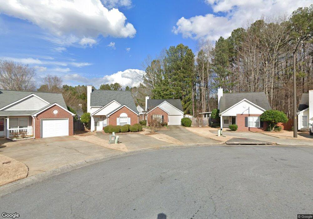
4284 Keats Ct Austell, GA 30106
Estimated Value: $241,000 - $264,000
2
Beds
2
Baths
936
Sq Ft
$273/Sq Ft
Est. Value
About This Home
This home is located at 4284 Keats Ct, Austell, GA 30106 and is currently estimated at $255,290, approximately $272 per square foot. 4284 Keats Ct is a home located in Cobb County with nearby schools including Clarkdale Elementary School, Garrett Middle School, and South Cobb High School.
Ownership History
Date
Name
Owned For
Owner Type
Purchase Details
Closed on
Sep 29, 2008
Sold by
Daniell Wilma E
Bought by
Griffith Virginia R
Current Estimated Value
Home Financials for this Owner
Home Financials are based on the most recent Mortgage that was taken out on this home.
Original Mortgage
$71,000
Outstanding Balance
$47,066
Interest Rate
6.45%
Mortgage Type
New Conventional
Estimated Equity
$208,224
Purchase Details
Closed on
Dec 13, 1995
Sold by
Doughty David W
Bought by
Daniell Wilma
Purchase Details
Closed on
Dec 1, 1995
Sold by
Renner Barbara R
Bought by
Doughty David W
Create a Home Valuation Report for This Property
The Home Valuation Report is an in-depth analysis detailing your home's value as well as a comparison with similar homes in the area
Home Values in the Area
Average Home Value in this Area
Purchase History
| Date | Buyer | Sale Price | Title Company |
|---|---|---|---|
| Griffith Virginia R | $118,000 | -- | |
| Daniell Wilma | $49,000 | -- | |
| Doughty David W | $41,400 | -- |
Source: Public Records
Mortgage History
| Date | Status | Borrower | Loan Amount |
|---|---|---|---|
| Open | Griffith Virginia R | $71,000 |
Source: Public Records
Tax History
| Year | Tax Paid | Tax Assessment Tax Assessment Total Assessment is a certain percentage of the fair market value that is determined by local assessors to be the total taxable value of land and additions on the property. | Land | Improvement |
|---|---|---|---|---|
| 2025 | $3,287 | $109,092 | $20,000 | $89,092 |
| 2024 | $3,289 | $109,092 | $20,000 | $89,092 |
| 2023 | $3,289 | $109,092 | $20,000 | $89,092 |
Source: Public Records
Map
Nearby Homes
- 4287 Keats Ct
- 2013 Chesley Dr
- 4420 Pink Rose Ct
- 2085 Lenoa Ln
- 2083 Lenoa Ln
- 2081 Lenoa Ln
- 1951 Bay Beauty Ln Unit 10
- 2034 Drennon Ave
- 4349 Kousa Rd Unit 4
- 2110 Plum Ln
- 1808 Elmwood Dr
- 4630 Hemlock Dr
- 2373 Buckley Ct
- 2349 Shire Ct
- 4390 Chelou Dr
- 3630 Thurleston Ct SW
- 4747 Nelda Dr
- 2062 Mulkey Rd SW
- 4688 Bennett St
- 4814 Clove Dr SW
- 4286 Keats Ct
- 4282 Keats Ct
- 4288 Keats Ct
- 4288 Keats Ct
- 4280 Keats Ct
- 4224 Tenneyson Ln
- 4226 Tenneyson Ln Unit 2
- 4222 Tenneyson Ln
- 4222 Tenneyson Ln
- 4278 Keats Ct
- 4228 Tenneyson Ln Unit 2
- 4290 Keats Ct Unit 1
- 4220 Tenneyson Ln Unit 2
- 4230 Tenneyson Ln
- 4276 Keats Ct
- 4292 Keats Ct
- 4292 Keats Ct Unit 1
- 4232 Tenneyson Ln
- 4274 Keats Ct Unit 1
- 4294 Keats Ct
Your Personal Tour Guide
Ask me questions while you tour the home.