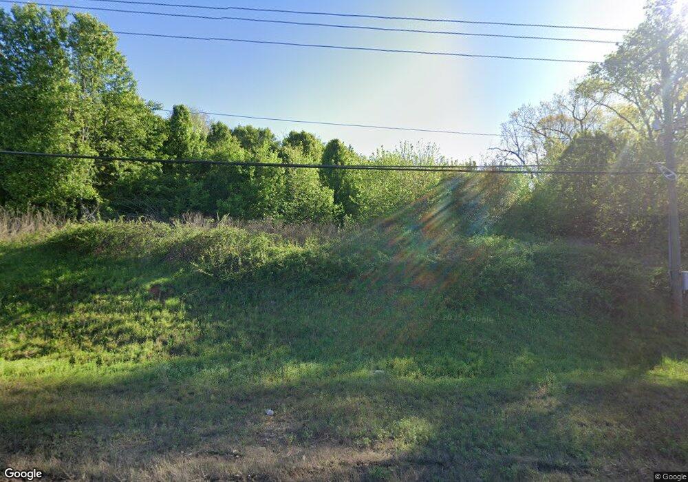
4284 Matt Hwy Cumming, GA 30028
Estimated Value: $265,000 - $441,000
3
Beds
2
Baths
1,800
Sq Ft
$211/Sq Ft
Est. Value
About This Home
This home is located at 4284 Matt Hwy, Cumming, GA 30028 and is currently estimated at $379,333, approximately $210 per square foot. 4284 Matt Hwy is a home located in Forsyth County with nearby schools including Coal Mountain Elementary School, North Forsyth Middle School, and North Forsyth High School.
Ownership History
Date
Name
Owned For
Owner Type
Purchase Details
Closed on
Jun 6, 2000
Sold by
Mundy Joseph B
Bought by
Manning Ira V and Manning Rebecca S
Current Estimated Value
Home Financials for this Owner
Home Financials are based on the most recent Mortgage that was taken out on this home.
Original Mortgage
$91,417
Outstanding Balance
$31,975
Interest Rate
8.11%
Mortgage Type
New Conventional
Estimated Equity
$347,358
Create a Home Valuation Report for This Property
The Home Valuation Report is an in-depth analysis detailing your home's value as well as a comparison with similar homes in the area
Home Values in the Area
Average Home Value in this Area
Purchase History
| Date | Buyer | Sale Price | Title Company |
|---|---|---|---|
| Manning Ira V | $10,100 | -- |
Source: Public Records
Mortgage History
| Date | Status | Borrower | Loan Amount |
|---|---|---|---|
| Open | Manning Ira V | $91,417 |
Source: Public Records
Tax History Compared to Growth
Tax History
| Year | Tax Paid | Tax Assessment Tax Assessment Total Assessment is a certain percentage of the fair market value that is determined by local assessors to be the total taxable value of land and additions on the property. | Land | Improvement |
|---|---|---|---|---|
| 2025 | $851 | $47,452 | $36,372 | $11,080 |
| 2024 | $851 | $41,788 | $30,428 | $11,360 |
| 2023 | $457 | $41,580 | $29,380 | $12,200 |
| 2022 | $813 | $30,052 | $17,852 | $12,200 |
| 2021 | $740 | $30,052 | $17,852 | $12,200 |
| 2020 | $751 | $30,572 | $17,852 | $12,720 |
| 2019 | $686 | $28,084 | $12,564 | $15,520 |
| 2018 | $689 | $28,084 | $12,564 | $15,520 |
| 2017 | $619 | $25,440 | $9,920 | $15,520 |
| 2016 | $563 | $23,456 | $7,936 | $15,520 |
| 2015 | $565 | $23,456 | $7,936 | $15,520 |
| 2014 | $562 | $24,536 | $0 | $0 |
Source: Public Records
Map
Nearby Homes
- 6230 Dana Way
- 7005 Walnut Mill Landing
- 6445 Crystal Ln
- 4555 Dennington Trace
- 4905 Rosarian Dr
- 4855 Rosarian Dr
- 4710 Rosarian Dr
- 4420 Belcrest Way
- 4805 Blossom Ct
- 7620 Ivy Grove St
- 3940 Twin Lakes Rd
- 4115 Sierra Vista Cir
- 4095 Sierra Vista Cir
- 7480 Ivy Grove St
- 3995 Sierra Lake Dr
- 5115 Poplar Springs Ct
- 3725 Sierra Lake Dr
- 3810 Sierra Lake Dr
- 4284 Matt Hwy
- 0 Hwy 369 Unit 3743639
- 0 Hwy 369 Unit 4108660
- 0 Hwy 369 Unit 5167479
- 4275 Matt Hwy
- 4200 Matt Hwy
- 4225 Matt Hwy
- 4180 Matt Hwy
- 6240 Hendrix Rd
- 4310 Matt Hwy
- 4240 Matt Hwy
- 6940 Shady Oak Ln
- 6230 Hendrix Rd
- 6930 Shady Oak Ln
- 6920 Shady Oak Ln
- 6910 Shady Oak Ln
- 6950 Shady Oak Ln Unit 1
- 6860 Shady Oak Ln Unit I
- 4160 Matt Hwy
- 6850 Shady Oak Ln
