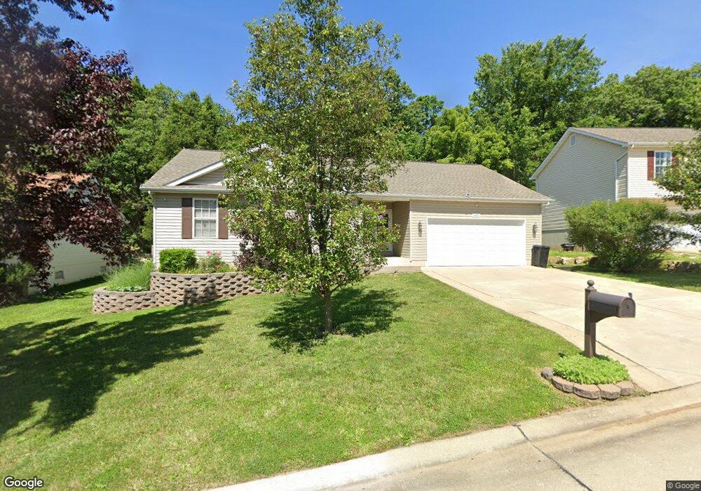
4285 NW Point Dr House Springs, MO 63051
Estimated Value: $274,000 - $290,000
--
Bed
--
Bath
1,360
Sq Ft
$210/Sq Ft
Est. Value
About This Home
This home is located at 4285 NW Point Dr, House Springs, MO 63051 and is currently estimated at $285,063, approximately $209 per square foot. 4285 NW Point Dr is a home located in Jefferson County with nearby schools including Northwest High School and St. Anthony School.
Ownership History
Date
Name
Owned For
Owner Type
Purchase Details
Closed on
Jun 25, 2020
Sold by
Pickles Deborah and Pickles Ronnie
Bought by
The Deborah M Pickles Living Trust
Current Estimated Value
Purchase Details
Closed on
Jan 7, 2000
Sold by
Dace Homes Inc
Bought by
Pickles Ronnie and Pickles Deborah
Home Financials for this Owner
Home Financials are based on the most recent Mortgage that was taken out on this home.
Original Mortgage
$97,184
Outstanding Balance
$30,692
Interest Rate
7.76%
Estimated Equity
$254,371
Create a Home Valuation Report for This Property
The Home Valuation Report is an in-depth analysis detailing your home's value as well as a comparison with similar homes in the area
Home Values in the Area
Average Home Value in this Area
Purchase History
| Date | Buyer | Sale Price | Title Company |
|---|---|---|---|
| The Deborah M Pickles Living Trust | -- | None Available | |
| Pickles Ronnie | $121,600 | -- |
Source: Public Records
Mortgage History
| Date | Status | Borrower | Loan Amount |
|---|---|---|---|
| Open | Pickles Ronnie | $97,184 |
Source: Public Records
Tax History Compared to Growth
Tax History
| Year | Tax Paid | Tax Assessment Tax Assessment Total Assessment is a certain percentage of the fair market value that is determined by local assessors to be the total taxable value of land and additions on the property. | Land | Improvement |
|---|---|---|---|---|
| 2025 | $2,057 | $31,100 | $4,800 | $26,300 |
| 2024 | $2,057 | $28,600 | $4,800 | $23,800 |
| 2023 | $2,057 | $28,600 | $4,800 | $23,800 |
| 2022 | $2,048 | $28,600 | $4,800 | $23,800 |
| 2021 | $2,031 | $28,600 | $4,800 | $23,800 |
| 2020 | $1,876 | $25,700 | $4,200 | $21,500 |
| 2019 | $1,874 | $25,700 | $4,200 | $21,500 |
| 2018 | $1,895 | $25,700 | $4,200 | $21,500 |
| 2017 | $1,730 | $25,700 | $4,200 | $21,500 |
| 2016 | $1,605 | $23,800 | $4,000 | $19,800 |
| 2015 | $1,614 | $23,800 | $4,000 | $19,800 |
| 2013 | -- | $23,400 | $4,000 | $19,400 |
Source: Public Records
Map
Nearby Homes
- 0000 Oakcrest Dr
- 6144 Misty Meadow Dr
- 6026 Grandview Rd
- 5919 Brookside Place
- 5916 Brookside Place
- 6006 Ridge Dr
- 3901 Olde Mill Dr
- 5975 Ridge Dr
- 6302 Upper Byrnes Mill Rd
- 173 Cardinal Ln Unit 173
- 0 Lot 45fernwood
- 172 Cardinal Ln Unit 172
- 0 Lots 6 Cedar Dr
- 0 Lot 40 & 41 Fernwood Unit 21026109
- 0 Fernwood Cir
- 0 Fernwood Cir
- 302 Anthony Cir
- 191 Bobwhite Ln Unit 191
- 192 Bobwhite Ln Unit 192
- 0 Manor Crest Dr Unit MIS25054810
- 4289 NW Point Dr
- 4281 NW Point Dr
- 4277 NW Point Dr
- 4284 NW Point Dr
- 4288 NW Point Dr
- 4293 NW Point Dr
- 4273 NW Point Dr
- 4292 NW Point Dr
- 4270 NW Point Dr
- 4297 NW Point Dr
- 4296 NW Point Dr
- 4269 NW Point Dr
- 4265 NW Point Dr
- 4015 Fawn Hollow Dr
- 4007 Fawn Hollow Dr
- 4260 NW Point Dr
- 4011 Fawn Hollow Dr
- 4300 NW Point Dr
- 4261 NW Point Dr
- 4019 Fawn Hollow Dr