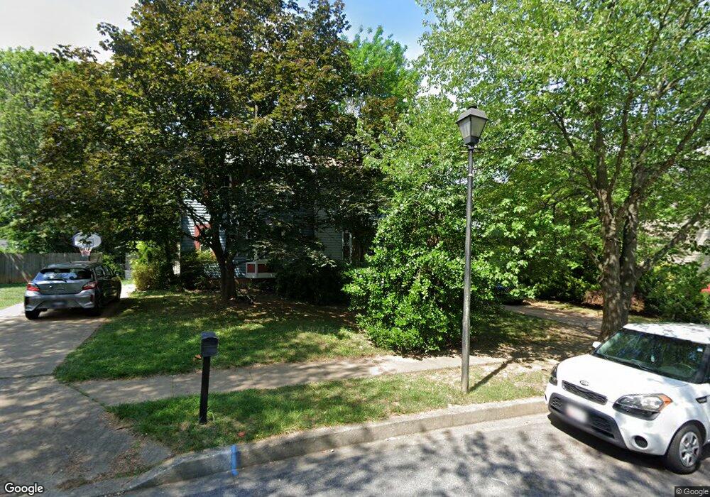
4286 Buckskin Trail Hampstead, MD 21074
Estimated Value: $297,000 - $340,000
3
Beds
2
Baths
1,800
Sq Ft
$179/Sq Ft
Est. Value
About This Home
This home is located at 4286 Buckskin Trail, Hampstead, MD 21074 and is currently estimated at $322,035, approximately $178 per square foot. 4286 Buckskin Trail is a home located in Carroll County with nearby schools including Spring Garden Elementary School, Shiloh Middle School, and Manchester Valley High School.
Ownership History
Date
Name
Owned For
Owner Type
Purchase Details
Closed on
Apr 14, 2010
Sold by
Boston Cynthia G
Bought by
Stamos Peter T and Mcdowelll Shannon Corinne
Current Estimated Value
Purchase Details
Closed on
May 14, 2002
Sold by
Counts Sarah B
Bought by
Boston Cynthia G
Purchase Details
Closed on
Jun 28, 2000
Sold by
Brashewitz Anthony P
Bought by
Counts Sarah B
Purchase Details
Closed on
Jul 3, 1997
Sold by
Danza John
Bought by
Brashewitz Anthony P and Brashewitz Colleen M
Create a Home Valuation Report for This Property
The Home Valuation Report is an in-depth analysis detailing your home's value as well as a comparison with similar homes in the area
Home Values in the Area
Average Home Value in this Area
Purchase History
| Date | Buyer | Sale Price | Title Company |
|---|---|---|---|
| Stamos Peter T | $222,000 | -- | |
| Boston Cynthia G | $128,000 | -- | |
| Counts Sarah B | $113,500 | -- | |
| Brashewitz Anthony P | $112,900 | -- |
Source: Public Records
Tax History
| Year | Tax Paid | Tax Assessment Tax Assessment Total Assessment is a certain percentage of the fair market value that is determined by local assessors to be the total taxable value of land and additions on the property. | Land | Improvement |
|---|---|---|---|---|
| 2025 | $3,484 | $256,800 | $90,000 | $166,800 |
| 2024 | $3,274 | $241,167 | $0 | $0 |
| 2023 | $3,065 | $225,533 | $0 | $0 |
| 2022 | $2,855 | $209,900 | $70,000 | $139,900 |
| 2021 | $5,738 | $206,800 | $0 | $0 |
| 2020 | $2,789 | $203,700 | $0 | $0 |
| 2019 | $2,747 | $200,600 | $70,000 | $130,600 |
| 2018 | $2,648 | $194,733 | $0 | $0 |
| 2017 | $2,569 | $188,867 | $0 | $0 |
| 2016 | -- | $183,000 | $0 | $0 |
| 2015 | -- | $183,000 | $0 | $0 |
| 2014 | -- | $183,000 | $0 | $0 |
Source: Public Records
Map
Nearby Homes
- 4220 Crystal Ct Unit 3D
- 4240 Crystal Ct Unit 2A
- 806 Clearview Ave
- 4367 Sycamore Dr
- 4470 Woodsman Dr Unit 731
- 4440 N Woods Trail
- 920 N Houcksville Rd
- 3992 Terrace Dr
- 0 Trenton Mill Rd Unit MDBC2117946
- 3870 Normandy Dr Unit 1D
- 4138 Hillcrest Ave
- 1151 Caton Rd
- 820 Wembley Dr Unit 2C
- 820 Wembley Dr Unit 2A
- 820 Wembley Dr Unit 2B
- 820 Wembley Dr Unit 3D
- 820 Wembley Dr Unit 2D
- 820 Wembley Dr Unit 1D
- 820 Wembley Dr Unit 1A
- 820 Wembley Dr Unit 3B
- 4284 Buckskin Trail
- 4290 Buckskin Trail
- 4282 Buckskin Trail
- 880 Century St
- 882 Century St
- 4292 Buckskin Trail
- 4285 Buckskin Trail
- 884 Century St
- 878 Century St
- 886 Century St
- 888 Century St
- 874 Century St
- 4283 Buckskin Trail
- 890 Century St
- 872 Century St
- 4280 Buckskin Trail
- 892 Century St
- 870 Century St
- 868 Century St
- 4281 Buckskin Trail
Your Personal Tour Guide
Ask me questions while you tour the home.