42861 Parsons Rd Lagrange, OH 44050
Estimated Value: $501,000 - $602,000
4
Beds
3
Baths
2,786
Sq Ft
$194/Sq Ft
Est. Value
About This Home
This home is located at 42861 Parsons Rd, Lagrange, OH 44050 and is currently estimated at $540,984, approximately $194 per square foot. 42861 Parsons Rd is a home located in Lorain County with nearby schools including Keystone Elementary School, Keystone Middle School, and Keystone High School.
Ownership History
Date
Name
Owned For
Owner Type
Purchase Details
Closed on
Jul 18, 2007
Sold by
Guignette Thomas C and Guignette Ildiko M
Bought by
Guignette Thomas C and Guignette Ildiko M
Current Estimated Value
Purchase Details
Closed on
May 12, 1995
Sold by
Clark William T
Bought by
Guignette Thomas C and Guignette Ildi
Home Financials for this Owner
Home Financials are based on the most recent Mortgage that was taken out on this home.
Original Mortgage
$95,000
Interest Rate
8.5%
Mortgage Type
New Conventional
Create a Home Valuation Report for This Property
The Home Valuation Report is an in-depth analysis detailing your home's value as well as a comparison with similar homes in the area
Home Values in the Area
Average Home Value in this Area
Purchase History
| Date | Buyer | Sale Price | Title Company |
|---|---|---|---|
| Guignette Thomas C | -- | Attorney | |
| Guignette Thomas C | $181,200 | -- |
Source: Public Records
Mortgage History
| Date | Status | Borrower | Loan Amount |
|---|---|---|---|
| Closed | Guignette Thomas C | $95,000 |
Source: Public Records
Tax History
| Year | Tax Paid | Tax Assessment Tax Assessment Total Assessment is a certain percentage of the fair market value that is determined by local assessors to be the total taxable value of land and additions on the property. | Land | Improvement |
|---|---|---|---|---|
| 2024 | $6,193 | $151,379 | $23,086 | $128,293 |
| 2023 | $5,791 | $118,328 | $22,491 | $95,837 |
| 2022 | $5,749 | $118,328 | $22,491 | $95,837 |
| 2021 | $5,750 | $118,328 | $22,491 | $95,837 |
| 2020 | $5,083 | $93,240 | $17,720 | $75,520 |
| 2019 | $5,052 | $93,240 | $17,720 | $75,520 |
| 2018 | $5,002 | $93,240 | $17,720 | $75,520 |
| 2017 | $5,074 | $89,990 | $18,630 | $71,360 |
| 2016 | $5,038 | $89,990 | $18,630 | $71,360 |
| 2015 | $5,030 | $89,990 | $18,630 | $71,360 |
| 2014 | $4,150 | $84,890 | $17,570 | $67,320 |
| 2013 | $4,021 | $84,890 | $17,570 | $67,320 |
Source: Public Records
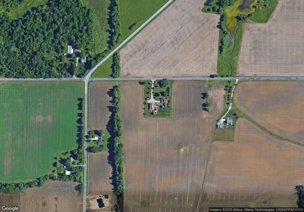
Map
Nearby Homes
- 43915 State Route 511
- 41341 Ravines Edge Way
- 340 Granger Dr
- 829 Robinson Dr
- 45336 Parsons Rd
- 567 Vicksburg Ct
- 441 E College St
- 40175 Banks Rd
- 95 Shipherd Cir
- 43902 State Route 303
- 808 Buckingham Dr
- 800 Buckingham Dr
- 40163 Banks Rd
- 548 William St
- 516 Appomattox Ct
- 182 E Hamilton St
- 801 Willich Ct
- 305 W Main St
- 607 Rundle St
- 16974 Hawley Rd
- 14611 Diagonal Rd
- 41963 State Route 303
- 14395 Diagonal Rd
- 14644 Diagonal Rd
- 14753 Diagonal Rd
- 14837 Diagonal Rd
- 14837 Diagonal Rd
- 43306 Parsons Rd
- 14878 Diagonal Rd
- 43337 Parsons Rd
- 14920 Diagonal Rd
- 43351 Parsons Rd
- 14125 Diagonal Rd
- 43401 Parsons Rd
- 14131 Diagonal Rd
- 43443 Parsons Rd
- 15127 Diagonal Rd
- 41993 Parsons Rd
- 15142 Diagonal Rd
- 43485 Parsons Rd
Your Personal Tour Guide
Ask me questions while you tour the home.