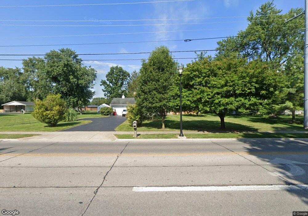
4289 Hoover Rd Grove City, OH 43123
Estimated Value: $338,000 - $352,000
3
Beds
2
Baths
1,562
Sq Ft
$219/Sq Ft
Est. Value
About This Home
This home is located at 4289 Hoover Rd, Grove City, OH 43123 and is currently estimated at $342,099, approximately $219 per square foot. 4289 Hoover Rd is a home located in Franklin County with nearby schools including Jc Sommer Elementary School, Park Street Intermediate School, and Jackson Middle School.
Ownership History
Date
Name
Owned For
Owner Type
Purchase Details
Closed on
Aug 26, 2019
Sold by
Bolin Paul J and Bolin Sharon E
Bought by
Bolin Sharon E and Bolin Paul J
Current Estimated Value
Purchase Details
Closed on
Apr 1, 2016
Sold by
Bolin Sharon E and Bolin Paul J
Bought by
Bolin Paul J and Bolin Sharon E
Purchase Details
Closed on
Jun 15, 2011
Sold by
Higginbotham William H and Precario Peter A
Bought by
Stantion Sharon E
Home Financials for this Owner
Home Financials are based on the most recent Mortgage that was taken out on this home.
Original Mortgage
$108,000
Outstanding Balance
$74,453
Interest Rate
4.63%
Mortgage Type
Purchase Money Mortgage
Estimated Equity
$267,646
Purchase Details
Closed on
Dec 15, 1989
Bought by
Higgenbotham William H
Create a Home Valuation Report for This Property
The Home Valuation Report is an in-depth analysis detailing your home's value as well as a comparison with similar homes in the area
Home Values in the Area
Average Home Value in this Area
Purchase History
| Date | Buyer | Sale Price | Title Company |
|---|---|---|---|
| Bolin Sharon E | -- | None Available | |
| Bolin Paul J | -- | None Available | |
| Stantion Sharon E | $135,000 | Amerittitle | |
| Higgenbotham William H | -- | -- |
Source: Public Records
Mortgage History
| Date | Status | Borrower | Loan Amount |
|---|---|---|---|
| Open | Stantion Sharon E | $108,000 |
Source: Public Records
Tax History Compared to Growth
Tax History
| Year | Tax Paid | Tax Assessment Tax Assessment Total Assessment is a certain percentage of the fair market value that is determined by local assessors to be the total taxable value of land and additions on the property. | Land | Improvement |
|---|---|---|---|---|
| 2024 | $5,076 | $111,620 | $30,140 | $81,480 |
| 2023 | $5,004 | $111,615 | $30,135 | $81,480 |
| 2022 | $4,118 | $67,520 | $19,150 | $48,370 |
| 2021 | $4,197 | $67,520 | $19,150 | $48,370 |
| 2020 | $4,151 | $67,000 | $19,150 | $47,850 |
| 2019 | $3,644 | $54,570 | $15,960 | $38,610 |
| 2018 | $3,437 | $54,570 | $15,960 | $38,610 |
| 2017 | $3,618 | $54,570 | $15,960 | $38,610 |
| 2016 | $3,331 | $44,740 | $9,980 | $34,760 |
| 2015 | $3,244 | $44,740 | $9,980 | $34,760 |
| 2014 | $3,172 | $43,720 | $9,980 | $33,740 |
| 2013 | $1,497 | $43,715 | $9,975 | $33,740 |
Source: Public Records
Map
Nearby Homes
- 4287 Knapp Dr
- 2690 Eugene Ave
- 2403 White Rd
- 4318 Maplegrove Dr
- 4370 Maplegrove Dr
- 4236 Maplegrove Dr
- 4541 Bent Creek Place
- 4284 Beechgrove Dr
- 4277 Beechgrove Dr
- 2873 Woodgrove Dr
- 2169 White Rd
- 4241 Ashgrove Dr
- 2112 Darilyn Dr
- 2106 Darilyn Dr
- 3910 Security Dr
- 2618 Vililly Cir W
- 2099 White Rd
- 4619 Goodman St
- 3830 Queen Anne Place Unit A9
- 3828 Queen Anne Place Unit B8